726 Sentiero Lagh dal Mat


Details
Description
Do you know the lake Lagh da Saoseo in the Val da Camp? Then it's time to discover the Lagh da la Regina and the Lagh dal Mat as well. They are located in the somewhat lesser-known Val dal Saent valley, which is bordered by the Piz Combul hills. They are the two largest of a total of seven lakes that the ice-age glacier formed here in the rocky soils. However, up to three of the very small lakes dry out completely in summer.
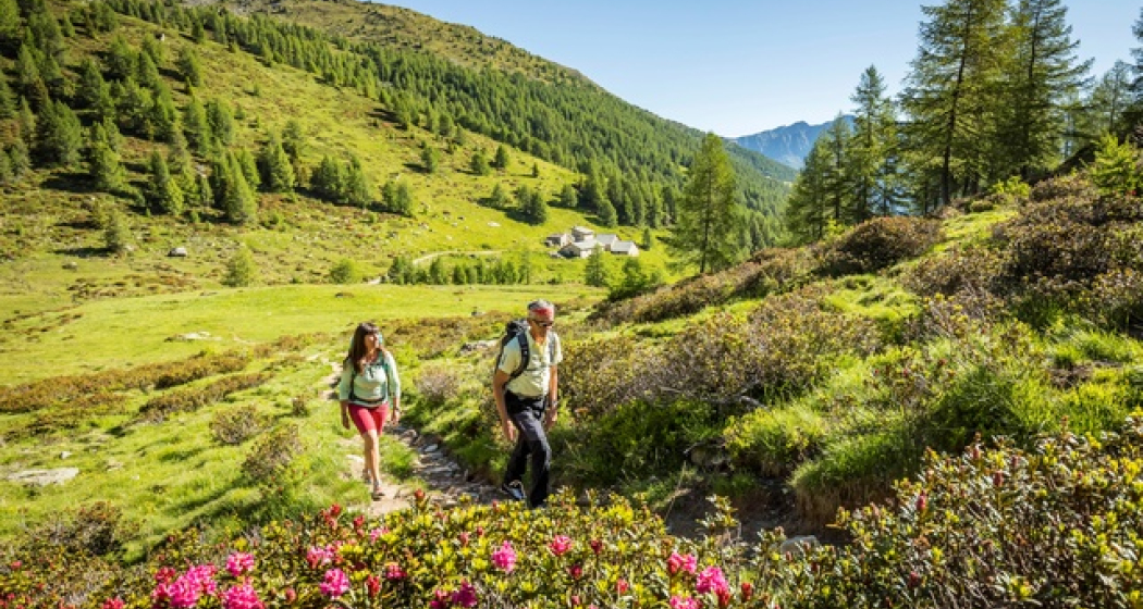
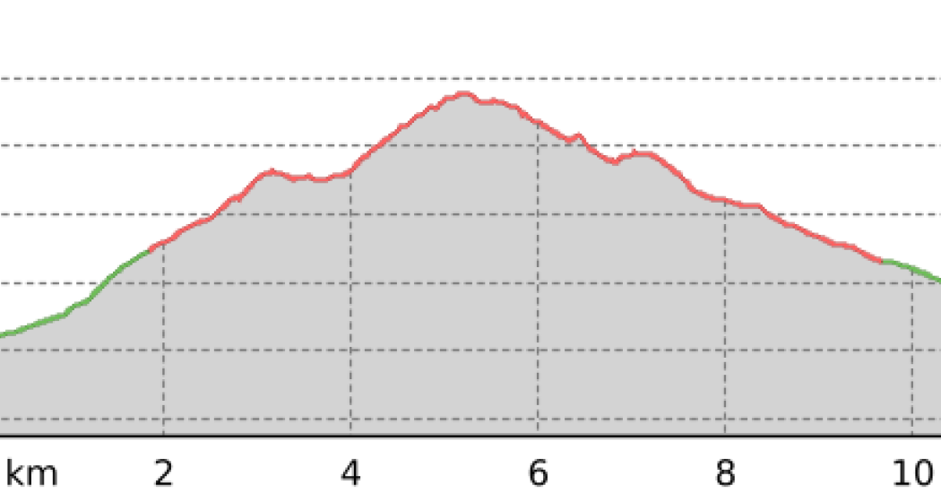
The tour starts at the Alpe Pescia Bassa which can be reached by bus (on-demand system) from Cavaione. The trail first climbs up through a larch forest to the clearing of the Alp Li Piani. Continuing along the tree line, you reach the first lake of the hike, the Lagh dal Mat. This is also the highest point of the hike close to the Italian border. The next stop is the smaller Lagh da la Regina.
From here, the route descends to the Col d'Anzana mountain pass. The flat crossing offers a fantastic panorama and is also the borderline between Switzerland and Italy. It connects the Valposchiavo with Teglio in the Valtellina. Further down you arrive at the houses of Pescia Alta, the largest alp in the Valposchiavo. Through a gnarled larch forest and past the Capanna d'Anzana, only two kilometres remain to return to the starting point.
Geheimtipp
The alpine taxi (Publicar) operates to Cavaione and back.
Directions
Directions
Public Transport
Anreise Information
Responsible for this content: Valposchiavo Turismo.

This website uses technology and content from the Outdooractive platform.