Stage 2: Murgsee – Spitzmeilenhütte, 73.02 Sardona World Heritage Trail


Details
Description
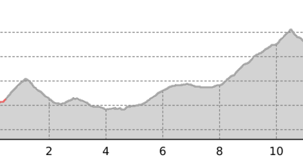
The first section of this stage leads along the upper Murgsee up to the Widersteiner Furggel. After a short descent, a kind of high-altitude trail with a magnificent view of the Glarus and Graubünden mountain peaks leads to the Mülibach ski hut. From Mülibach Oberstafel it gets really strenuous again: With the striking Magerrain in front of your eyes, it goes up to the Wissmilen Pass. Here you can enjoy a magnificent panorama, including the gypsum ridge with its differently coloured rock layers and the Piz Sardona, the namesake of the World Heritage Site. Experienced mountaineers can make a detour from here on the striking Spitzmeilen. Shortly before the Spitzmeilenhütte SAC, the idyllically situated Madseeli invites you to take a cool bath.
Further information and links:
73 Sardona World Heritage Trail
Geheimtipp
Sicherheitshinweis
Responsible for this content: Graubünden Ferien.
This content has been translated automatically.