Guarda - Chamonna Tuoi CAS - Piz Buin


Show all 5 images

The Piz Buin is one of the highest mountains in the Lower Engadin and therefore offers a magnificent view. The ideal starting point for the route is the Chamonna Tuoi CAS.
Details
Description
Stage 1: Guarda - Chamonna Tuoi CAS
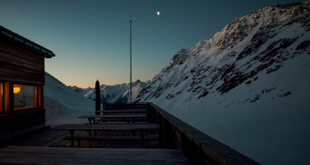
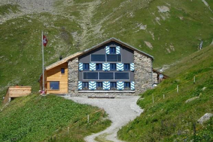
The ascent starts in Guarda on an alpine path into the Val Tuoi. The path runs along the Alp Suot to the Chamonna Tuoi CAS. The Chamonna Tuoi CAS is the ideal starting point for further ski tours and is mostly staffed throughout the winter.
Stage 2 Chamonna Tuoi CAS - Piz Buin
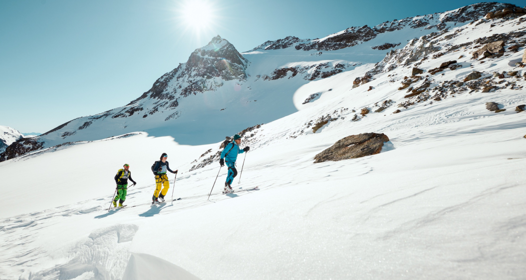
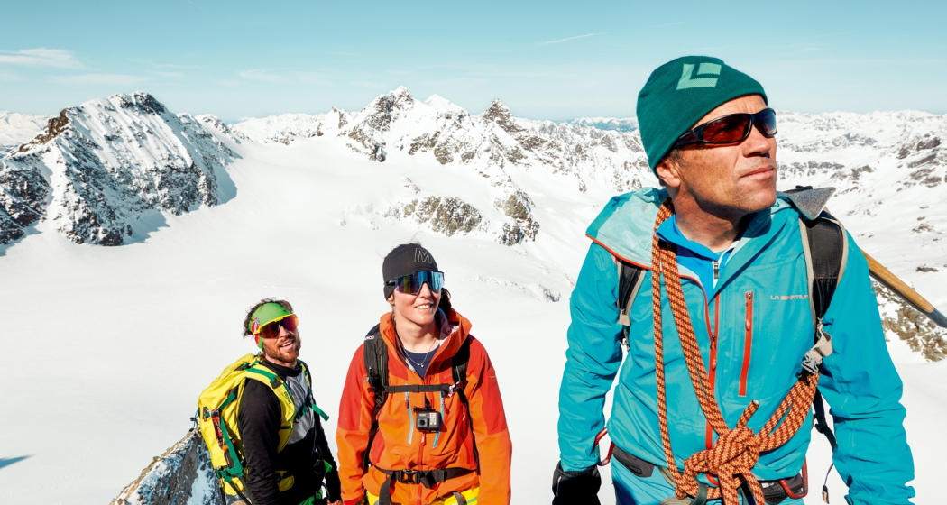
The start of the route is at Chamonna Tuoi and begins with a short descent northwest. The ascent starts in the valley floor and leads over the steep east slope towards Plan Mezdi (2900 m above sea level). Below Plan Mezdi begins the steep southeast ascent to the border ridge. Upon reaching the height, the route continues east over the Ochsentaler Glacier to the Buinlücke (3052 m above sea level). At Buinlücke, a ski depot is recommended to master the final ascent on foot. From Piz Buin (3312 m above sea level) you have a magnificent view of the Lower Engadin as well as the surrounding peaks such as the Silvrettahorn (3243 m above sea level) or the Dreiländerspitz (3197 m above sea level).
Hidden Gem
- Guarda, together with the villages of Lavin and Ardez, is the second mountaineering village in Switzerland. More information at: bergsteigerdoerfer.org
- An overnight stay at the Chamonna Tuoi is recommended.
- Please note the current information about the rockfall hazard west of Chamonna da Tuoi SAC and around the Buinlücke / Fuorcla Buin. More information can be found in the
Safety Note
The route was rated under favorable weather conditions; the current weather conditions and weather forecasts must be observed before starting the route.
Emergency call:
144 emergency call, first aid I 1414 mountain rescue REGA I 112 international emergency call
Routes in wintery mountains carry risks. Off marked pistes and trails, tourers are personally responsible.
Hiking routes in alpine terrain require good fitness, serious preparation, and technical knowledge in mountaineering. The use of the described routes is at your own risk. For safe mountaineering, training under expert guidance is recommended. All content is compiled with the utmost care. The Engadin Samnaun Val Müstair Tourism AG (TESSVM) and the authors assume no liability for the timeliness, correctness, and completeness of the provided information. Liability claims of any kind against TESSVM and the authors are excluded. It is also recommended to always check the daily avalanche bulletin: slf.ch
Equipment
Ski touring equipment, safety equipment (avalanche transceiver, probe, shovel), first aid kit, provisions
Directions
Public Transport
- Accessible by train and bus
- By the Rhaetian Railway (from Chur, Landquart/Prättigau or from the Upper Engadin) hourly to Guarda station
- With the PostAuto connection to the Guarda, cumün PostAuto stop
Travel Information
From the north: via Landquart – Klosters by car shuttle through the Vereina Tunnel (Selfranga - Sagliains) or via the Flüela Pass to the Lower Engadin on H27
From the east: via Landeck / Austria towards St. Moritz on H27
From the south: via Reschen Pass (Nauders-Martina) or Ofen Pass (Val Müstair-Zernez) on H27
Guarda can be reached from the Engadin Road H27 in 20 minutes driving time from the Vereina South Portal.
Parking
- Paid parking spaces at the village entrance of Guarda
Responsible for this content: Tourism Engadin Scuol Samnaun Val Müstair AG.

This website uses technology and content from the Outdooractive platform.
