Prätschli – Rot Tritt – Scheidegg – Prätschli
Medium
6.5 km
1:50 h
191 mhd
191 mhd
Show all 4 images
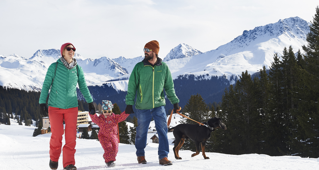
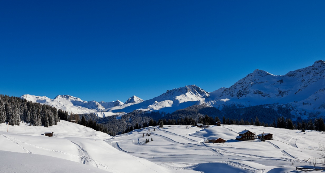
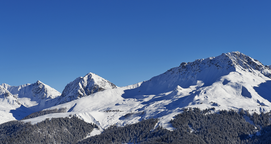
Round trip with an amazing view.
Best Season
Jan
Feb
Mär
Apr
Mai
Jun
Jul
Aug
Sep
Okt
Nov
Dez
Start
Prätschli
Destination
Prätschli
Coordinates
46.790884, 9.675258
Details
Description
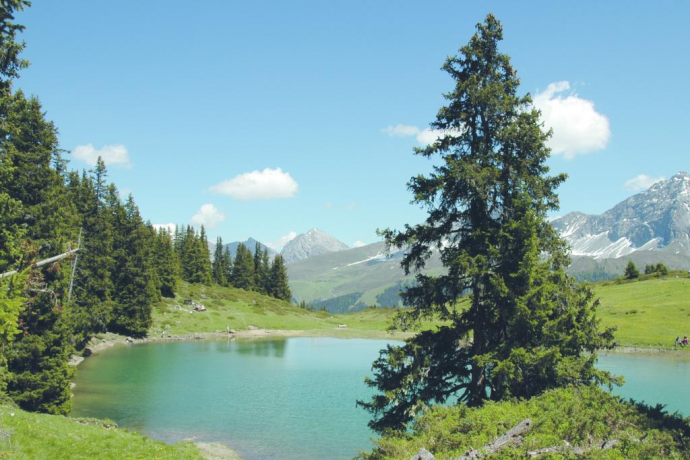
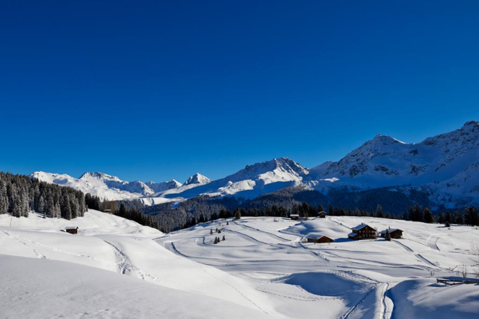
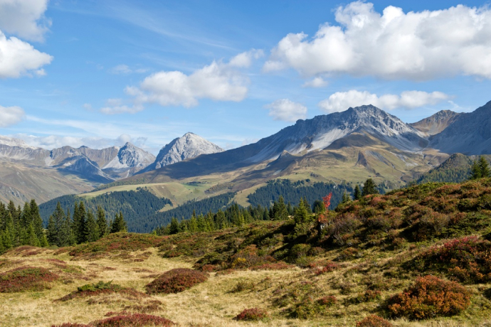
This trail starts at Prätschli and continues through the open forest along the Prätschsee lake all the way to the Prätschalp where it is highly recommended to enjoy a snack and the stunning view. Then the trail keeps going to the Scheidegg - a trail far away from noise and stress.
Geheimtipp
You can get from the village to Prätschli comfortably on the free local bus. Enjoy a stopover in the Prätschalp.
Sicherheitshinweis
Please note the current winter sports report.
Ausrüstung
Sturdy shoes. Winter hiking sticks are beneficial.
Directions
Prätschli - Prätschalp - Rot Tritt - Scheidee - Prätschli
Directions
Public Transport
The Rhaetian Railway leaves Chur to Arosa and back at hourly intervals. From there take the local bus to Prätschli.
Anreise Information
Once you arrive in Chur, follow the sign posts to Arosa. Turn right at the entrance of the village opposite the petrol station and follow the street until the end.
Current road situation
Parking
There is only a limited number of parking spots at Prätschli. It is therefore recommended to park the car at the parking garage Ochsenbühl and to take the local bus to Prätschli.
Responsible for this content: Graubünden Ferien.
This content has been translated automatically.


