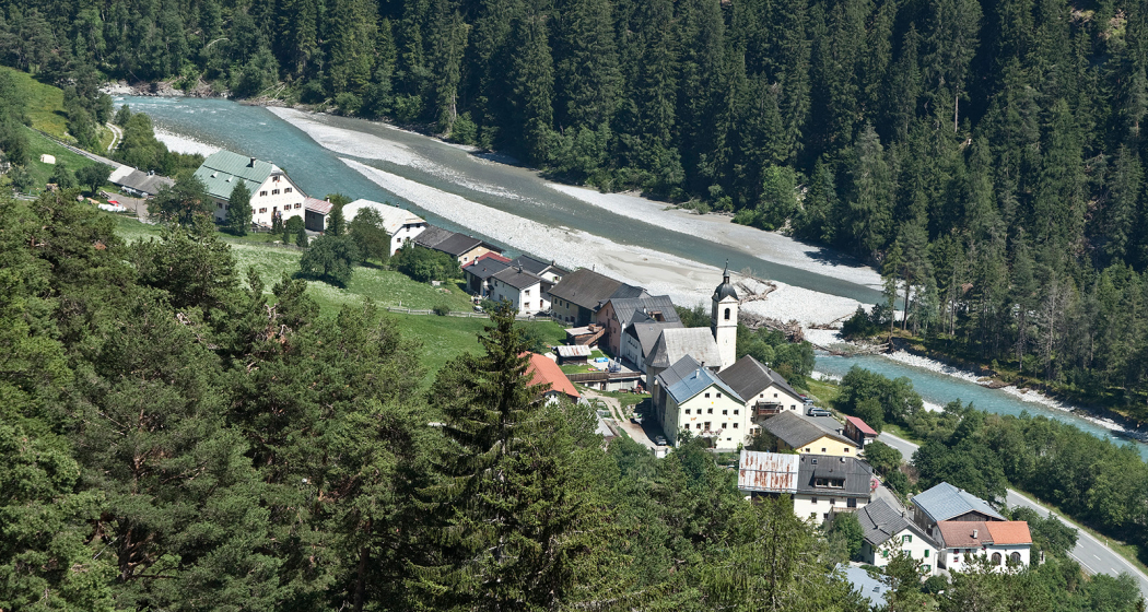
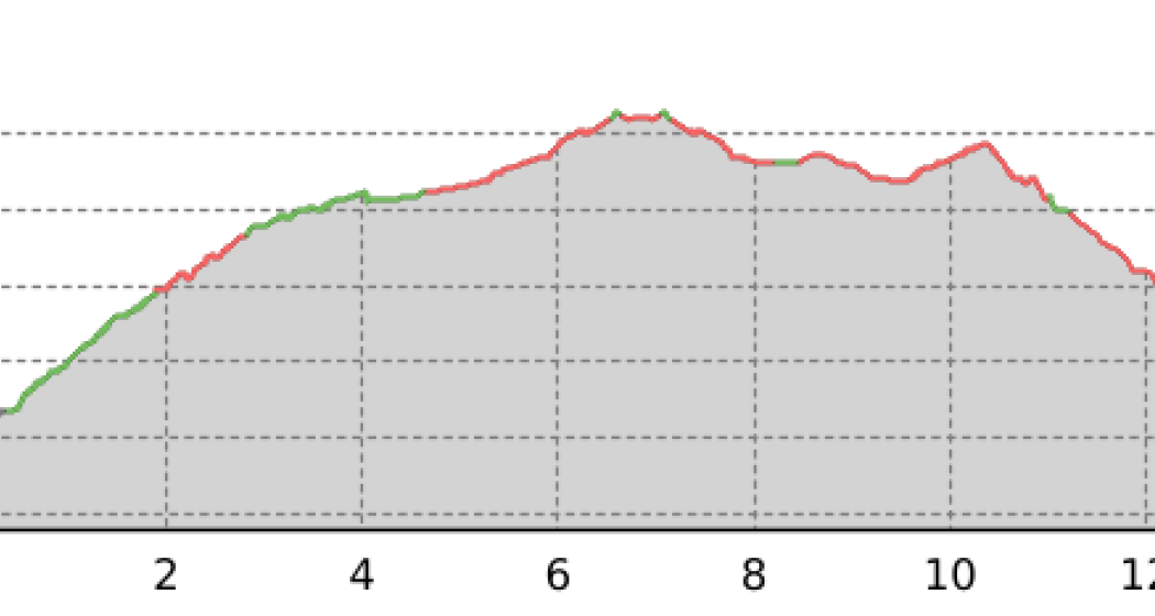
From the PostBus stop you cross directly the Inn and reach the small hamlet of San Niclà. At the exit of the village, at Café Etter, the path turns left and follows the road towards the forest. Through clearings and forests, the first meters of altitude are passed. Always following the road, the path traverses slowly ascending towards the Swiss, Austrian border. Immediately after the border, the hiking trail turns right up the forest in the direction of Grünsee. The Grünsee is gently embedded in the forest. Shortly after the eastern end of the lake, a path branches off to the three-country point Switzerland/Austria/Italy, the way there and back to the three-country point above about 250 meters above it takes about 2 hours. To the larger Schwarzsee it goes down from the Grünsee again. The Schwarzsee invites you to take a break directly on the shore with beautiful shores and benches. From the Schwarzsee a path leads in the direction of the Kleinmutzkopf. The route climbs through sparse forests and forest clearings again about a hundred meters in altitude, to the Kleinmutzkopf. From there the descent begins, first in a westerly direction then in the direction of Nauders through the forest. Even before the valley station of the Kleinmutzkopf ski lift is reached, the hiking trail turns left (in the direction of Norbertshöhe, which leads to the PostBus stop Nauders, Norbertshöhe). From the PostBus stop, there are connections via Martina back to the starting point to Strada i.E., San Niclà, or directly to Scuol, Samnaun or Mals (Vla Müstair).
Sicherheitshinweis
The tour was evaluated in favorable weather conditions, the current weather conditions and weather forecasts must be observed before the start of the tour.
Emergency call: 144 Emergency call, first aid 1414 Mountain rescue REGA 112 International emergency call
Ausrüstung
Good footwear, rain and sun protection, water bottle, bandages, food
Directions
At the PostBus stop Strada i.E., San Niclà Cross the Inn Turn left at the exit of the village Follow the road After the border turn right through the forest to the Grünsee Optionally branch off at the eastern end of the lake to the Dreiländerpunkt From Grünsee descending to Schwarzsee From Schwarzsee ascent to Kleinmutzkopf Follow the path Descent in a westerly direction Descent to Nauders Before the chairlift turn left towards Norbertshöhe
Directions
Public Transport
By Rhaetian Railway (from Chur, Landquart/Prättigau or from the Upper Engadine) every hour to Scuol-Tarasp
By PostBus (from Martina, Sent, Ftan or Tarasp) every hour to the PostAtuo stop Strada i.E., San Niclà
Anreise Information
From the north: via Landquart – Klosters by car through the Vereina tunnel (Selfranga - Sagliains) or over the Flüela Pass into the Lower Engadine on H27, after Strada turn left
From the east: via Landeck / Austria in the direction of St. Moritz on H27, after Strada turn right
From the south: via Reschenpass (Nauders-Martina) or Ofenpass (Val Müstair-Zernez) on H27, turn right after Strada
Parking
Parking at the PostBus stop Strada i.E., San Niclà
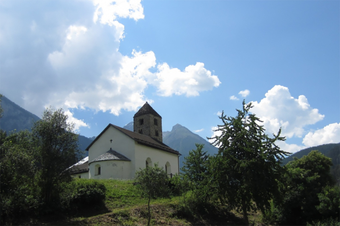
The Romanesque church of San Niclà with semicircular choir was built shortly before the year 1200. San Niclà is located on an ancient road where the Inn could first be crossed by a ford and, probably very early in the Middle Ages, by a bridge. The fact that the valley path from Ramosch via Raschvella to San Niclà still led in the late Middle Ages is proven by the monumental Christophorus painting, some of which is still preserved on the southwest façade of the tower. It was only visible to the travellers when they used this right-hand valley path via Raschvella. Saint Christopher is, among other things, the emergency helper of boatmen and bridge builders.