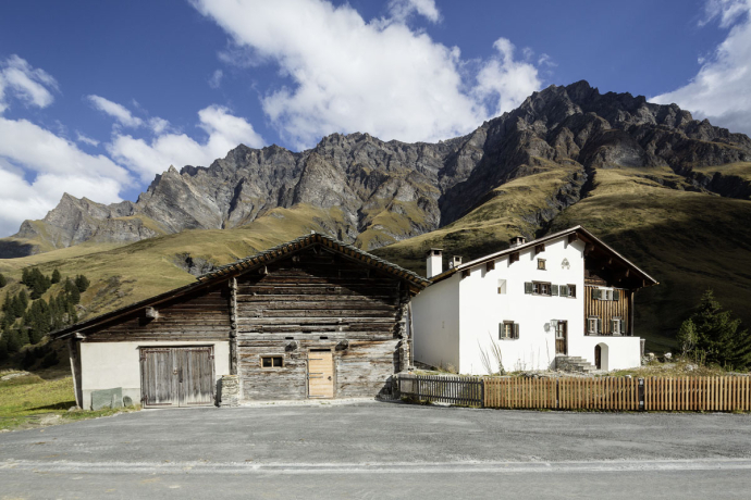
Walser trail Safiental (3 days)
Medium
38 km
12:00 h
2345 mhd
1288 mhd


Show all 12 images

Walser Trail Safiental (Stages 1- 3)
Best Season
Jan
Feb
Mär
Apr
Mai
Jun
Jul
Aug
Sep
Okt
Nov
Dez
Start
Versam
Destination
Turrahus
Coordinates
46.807325, 9.310067
Details
Description
The Safien Walser Trail runs in 3 stages from the Rhine Gorge to the back of the Safien valley. The main direction leads from north to south, into the valley.
Responsible for this content: Surselva Tourism.

This website uses technology and content from the Outdooractive platform.


