
 Weather
  Webcams
  Attractions
  Gastronomy
  Tours
Tours  Events
 Snowshoe tour Capettawold-Lezibrücke
Closed
Medium
5.5 km
2:10 h
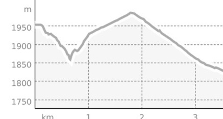
289 mhd
282 mhd

Show all 3 images
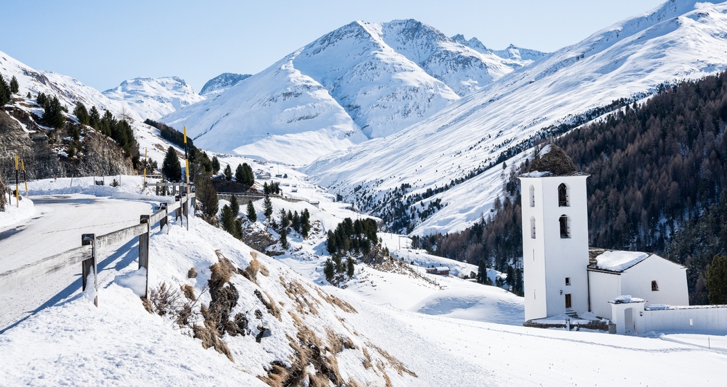
Versatile snowshoe circuit from Cresta with suspension bridge, secured path section, historic road route and impressive forest passages in the Capettawold.
Best Season
Jan
Feb
Mär
Apr
Mai
Jun
Jul
Aug
Sep
Okt
Nov
Dez
Start
Cresta, Avers
Destination
Cresta, Avers
Coordinates
46.472084, 9.513935
Details
Description
The tour starts in Cresta and first leads along the Chilchawäg past the Edelweisskirche. Then follow the signposted hiking trail downstream towards the Averserrhein. Shortly before the river, a rock section is bypassed on a path secured with chains. Afterwards, the Rhine is crossed via a suspension bridge.
On the opposite valley side, the route climbs continuously through the Capettawold with larches and Swiss stone pines up to the area of point one thousand nine hundred fifty-eight meters above sea level near Alpbach. Then the forest road is followed further downstream to the Glagaboda area and to the Lezibrücke with Postbus stop.
The return route runs along the old Averserstrasse to In der Chella. There the Rhine is crossed again. Via the hairpin bends of the historic road, you climb up to the cantonal road and follow it back to Cresta, past the Hotel Capetta.
Directions
Public Transport
By the Rhaetian Railway to Thusis. From Thusis, Postbus into Avers to the Cresta stop. Starting point in the village area.
Travel Information
Via A13 to Thusis, further into the Avers valley to Cresta.
Parking
Parking options in the village according to signage.


Responsible for this content: Viamala Tourism.

This website uses technology and content from the Outdooractive platform.