
 Weather
  Webcams
  Attractions
  Gastronomy
  Tours
Tours  Events
 viaMala Alta: Wergenstein - Cufercalhütte via Gelbhorn
Show all 7 images
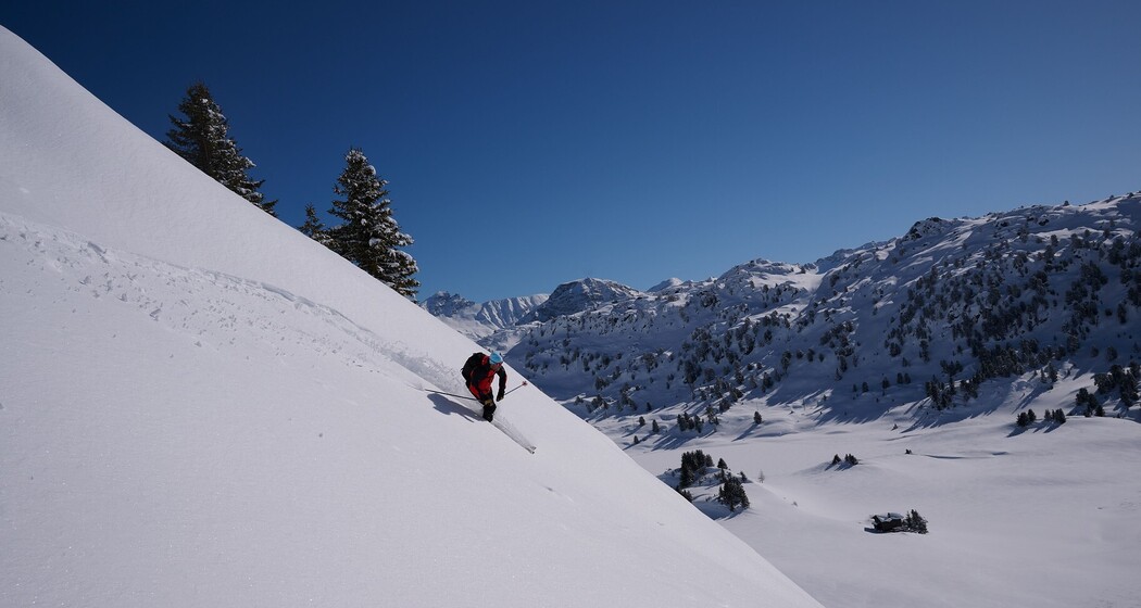
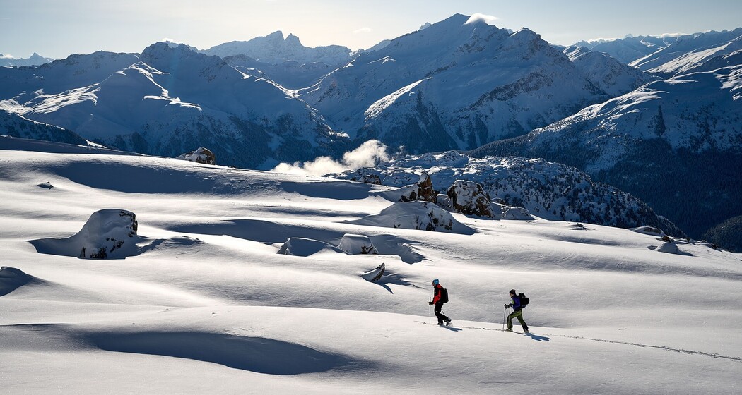
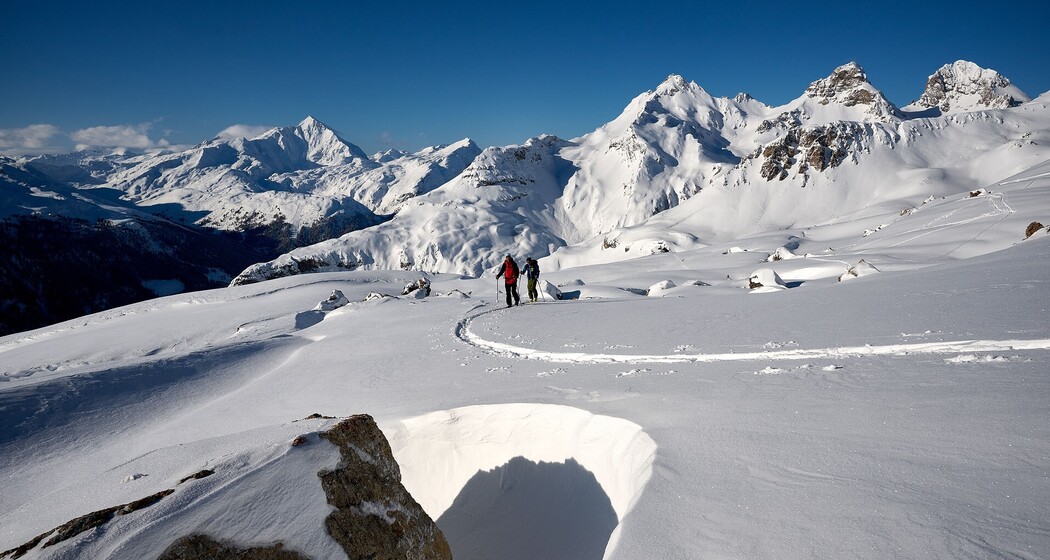
From Wergenstein in the heart of the Beverin Nature Park, the ascent to Gelbhorn leads the way. Over the wide plains of Alp Anarosa and the Farcletta digl Lai Pintg, it continues on to the Cufercalhütte.
Details
Description
From Wergenstein (1486 m) steeply westward up to the Maiensässhütten of Dumagns (1823 m). Here you cross the steep NE slopes of Val da Larisch to the stream valley descending from Alp Tumpriv. North of this stream valley, climb up to Alp Tumpriv (2190 m) and over a steep section southwestwards to the flat ridge back of Tguma P. 2402. From here, traverse with little elevation loss above a rock band towards southwest into the valley floor of Plan Darmeras (approx. 2350 m). Between the two streams, climb into Valletta and north of P. 2674 turn right over a short steep section into the hollow north of P. 2790. Turn right between rock bands up to Gelbhorn.
From Gelbhorn, descend the steep E-SE slope down to the shoulder of P. 2792. From there, pass southwest of the Muttolta to Farcletta digl Lai Grand (2660 m). Then descend into the plains south of Lai Grand (2450 m). From there, traverse under the steep NE slopes of Pizzas d’Anarosa towards southeast over P 2475 and climb to Farcletta digl Lai Pintg (2585 m). Now descend eastwards to the Cufercalhütte SAC (2385 m).
Hidden Gem
Book an overnight stay at the SAC Cufercalhütte and enjoy the tranquility and hut romance.
Safety Note
The ski and snowshoe routes are to be understood as general directional indications. Depending on conditions, ascent and descent routes must be adjusted. Traveling on routes in alpine terrain requires good fitness, serious preparation, and technical knowledge of mountaineering. The description of the routes is at your own risk. For safe mountaineering, Viamala Tourism recommends training under professional guidance or a guided ski tour by trained mountain guides.
- Plan your tour in advance
- Check the avalanche situation and weather conditions the day before and shortly before starting
- Check your safety equipment and gear before starting
Liability claims of any kind against Viamala Tourism and the authors are excluded.
Equipment
- Skitou equipment
- Safety equipment
- LVS (fully functional)
- Probe
- Shovel
- if applicable Air Bag
- First aid kit
- Mobile phone
Directions
Wergenstein - Gelbhorn - Farcletta digl Lai Pintg - Cufercalhütte
Directions
Public Transport
Train: Take the Rhaetian Railway (RhB) or the SBB to Thusis station.
Post bus: From Thusis, take the post bus towards Mathon / Wergenstein. The Wergenstein stop is located directly in the village. Please check the current timetable, as connections may be limited on weekends or in the off-season.
Travel Information
Parking


Responsible for this content: Viamala Tourism.

This website uses technology and content from the Outdooractive platform.