
 Weather
  Webcams
  Attractions
  Gastronomy
  Tours
Tours  Events
 2 lake hike to Älplisee and Schwellisee
Show all 4 images
Details
Description
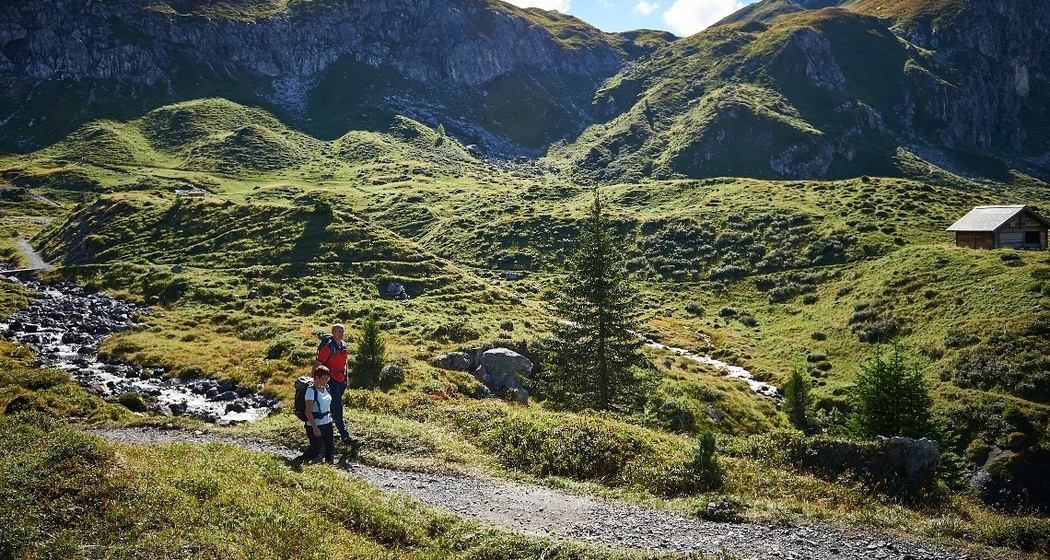
The partial 10-lake hike passes two of the lakes. The start and end of the route is at the Hörnli valley station
Älplisee
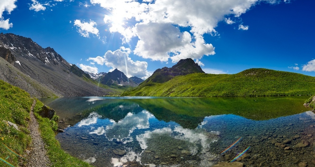
Älplisee lies at 2,156 m above sea level on the Arosa Älpli, southwest of Innerarosa behind the Älpliriegel. The lake is embedded in the source area of the Plessur, between Schwellisee, the mountains Erzhorn, Aroser Rothorn, and Älplihorn. In summer, challenging mountain trails lead towards Erzhornsattel, Rothorn, Ramozhütte/Welschtobel, Hörnli, and Gredigs Fürggli past the lake.
Schwellisee
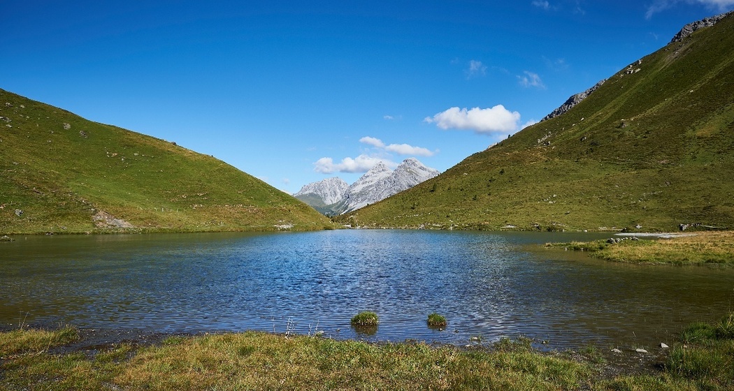
Schwellisee lies at 1,933 m above sea level on the Arosa Alp, southwest of Innerarosa at the young Plessur. The larch trunks in the lake still testify to the extensive larch forest that once extended far above Schwellisee and was later cleared by the Walser.
The board for the 10-lakes fun is placed at the lake outlet.
Hidden Gem
Bring a good camera – the colors of the lakes are beautiful.
Safety Note
Arosa aims to provide hikers with a well-developed and marked hiking trail network. Please observe the rules and signage. More helpful tips can be found under hiking info.
Equipment
Directions
Directions
Public Transport
Travel Information
Parking
There is a parking lot at the Hörnli valley station. More information can be found here.


Responsible for this content: Arosa Lenzerheide.

This website uses technology and content from the Outdooractive platform.