
 Weather
  Webcams
  Attractions
  Gastronomy
  Tours
Tours  Events
 Adventures Flims - Water shapes the landscape
Show all 5 images
Details
Description
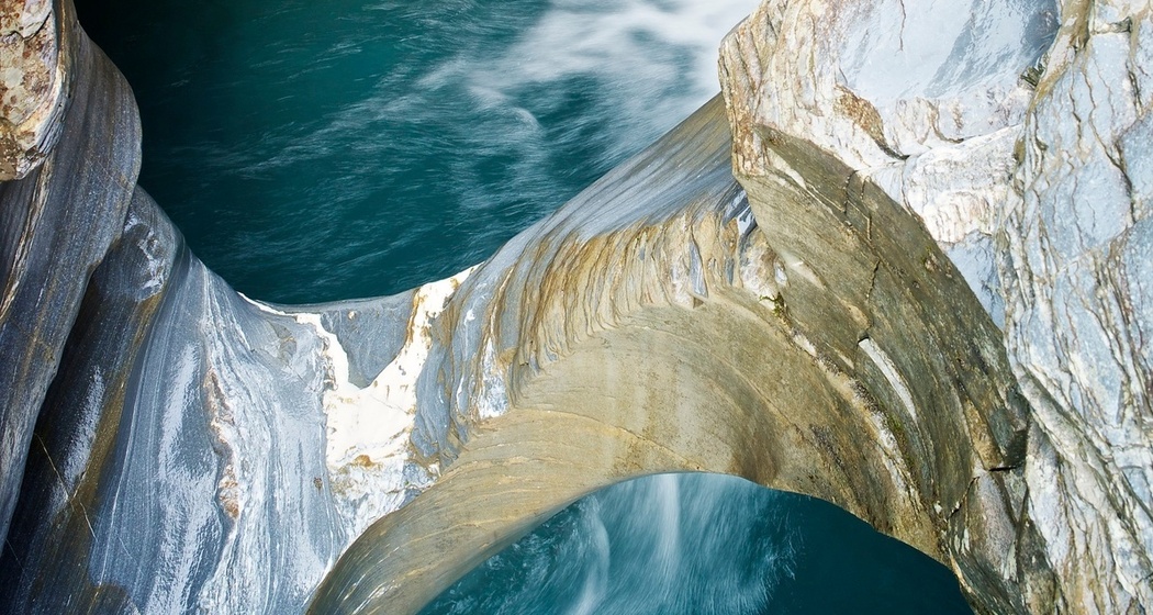
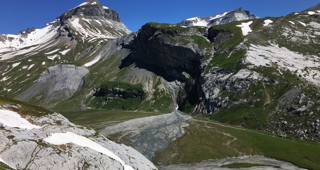
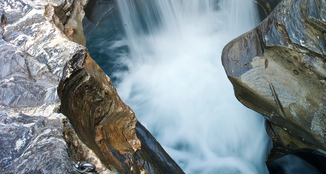
On the circular route around the lower Segnesboden, you will learn how water has shaped this unique landscape over millions of years up to the present.
Since this easy hike is also accessible to smaller children from 5 years old, it is perfect as an interactive family experience!
With the Sardona Aktiv app, you can access interactive waypoints (videos, pictures, ...) along the way. These are shown as linked points under "Route description." It is also possible to download the content in advance. Wi-Fi access is available at the Segnes visitor pavilion.
Download the "Sardona Aktiv" app:
Google Play
Equipment
Directions
From the Segneshütte, 10 waypoints (see linked points) along the circular route over the lower Segnesboden (Segnas Sut)
Directions
Public Transport
With the Flemxpress from Flims Bergbahnen to the Segneshütte and Nagens Sura


Responsible for this content: UNESCO-Welterbe Tektonikarena Sardona.

This website uses technology and content from the Outdooractive platform.