
 Weather
  Webcams
  Attractions
  Gastronomy
  Tours
Tours  Events
 Bondo - Capanna Sasc Furä (through the Bondasca Valley)

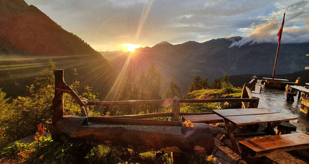
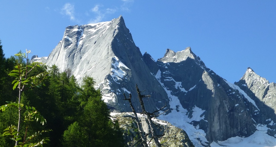
Show all 4 images
The main new feature is the long suspension bridge that crosses the valley at around Selvartigh.
Details
Description
The new old trail follows the valley floor from Bondo on the north-eastern side of the Bondasca Valley. At around 1200 m, you reach the new suspension bridge that crosses the Bondasca and its debris cone. On the other side of the river, the path climbs steadily, crosses a branch of the Bondasca and continues roughly parallel to the valley floor to the east. At an altitude of 1400 m, the steeper and more challenging part of the tour begins. From here, the route climbs directly up the slope and makes several sharp turns to the right onto the rocky ridge. Between rocks and wooded ravines, the path repeatedly offers impressive views of the rock masses from the 2017 landslide and the Caciabela opposite. At 1800 m, you reach the gently rising plateau, where the Sasc Furä hut awaits around 100 m further up.
Hidden Gem
The mountain hike can also be organized as a circular tour if you choose the route via Cugian for the descent.
The Sasc Furä is also part of the Sentiero Alpino Bregaglia, which connects the four Bergell SAC huts.
Safety Note
Equipment
Directions
Directions
Public Transport
Travel Information
Parking
Parking facilities in Bondo are limited. Arrival by public transport is recommended.


Responsible for this content: Bregaglia Maloja Turismo.

This website uses technology and content from the Outdooractive platform.