
 Weather
  Webcams
  Attractions
  Gastronomy
  Tours
Tours  Events
 Circular hike to Blausee
Show all 8 images
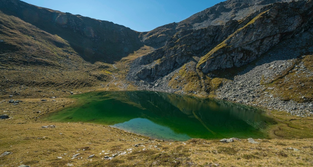
Below the Val Gronda, somewhat hidden, lies the Blausee. With its blue-turquoise color and located at over 2,300 m above sea level, it is the perfect excursion destination for hot summer days.
Details
Description
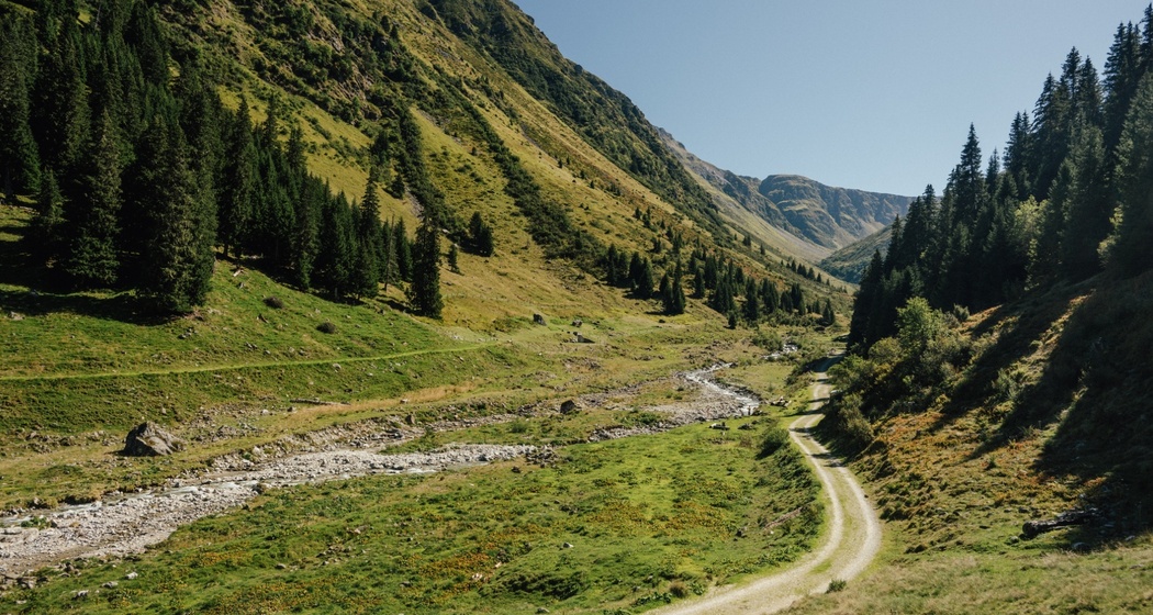
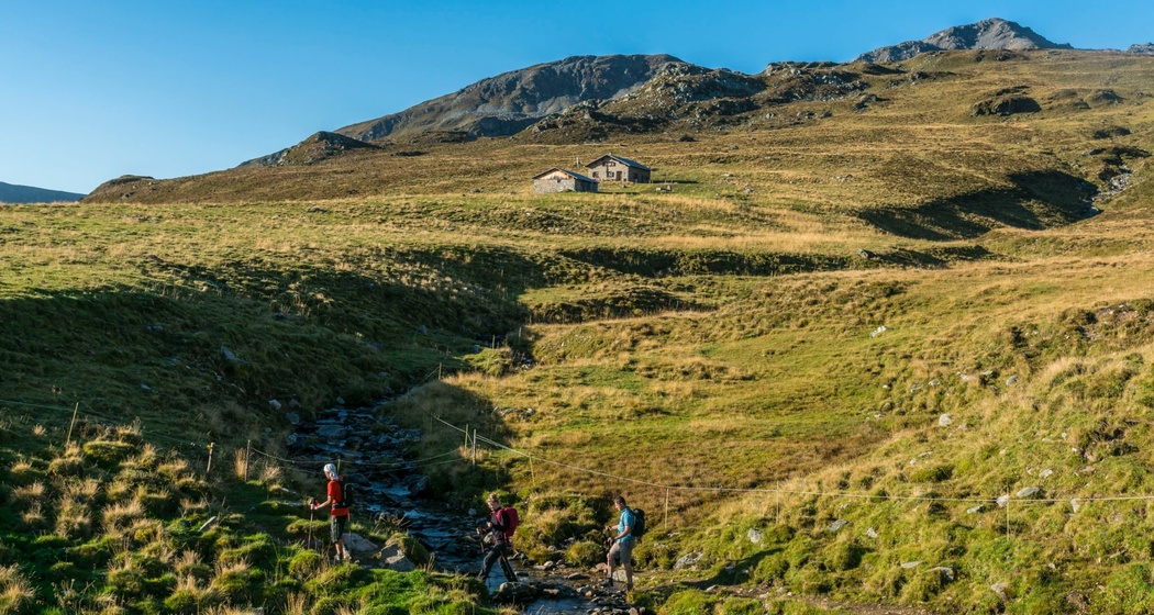
From the Tscharbach, the path follows an alpine trail towards Inneralp to the Chrizbial. From there, it goes a short distance towards Vorderalp. Then it goes up and via Talchepf below Titschal and Piz Lad over to the Blausee. After a well-deserved rest at the Blausee, a short steep section follows up to the saddle, from where it goes down to Oberhitta. From there, it goes along an alpine path down the valley back to the Lumbreiner Bridge. Shortly before the Lumbreiner Bridge, at Falmenboda, the Tscharbach invites you to a cozy rest by the water once again.
Hidden Gem
For the sporty ones, a detour to the Titschal is worthwhile, from where you have a wonderful view.
Along the way, there are rarely fountains to refill your bottle. There are no catering options available. Therefore, please bring your own provisions.
Safety Note
In uncertain weather conditions, the tour should not be started. Weather changes in the mountains are common. If a rain front or similar approaches during the hike, you should turn back in time.
Equipment
Good hiking shoes with a good grip, weather-appropriate clothing (rain jacket), possibly a change of clothes, first aid kit, drink, provisions, possibly hiking poles.
Directions
Lumbreiner Bridge - Chrizbial - Talchepf - Blausee - Saddle - Oberhitta - Lumbreiner Bridge
Directions
Public Transport
By post bus to St. Martin. From there about 1.5 hours walk along the road to Lumbreiner Bridge.
Travel Information
Attention: A driving permit from the municipality of Obersaxen Mundau is required for the road to the Lumbreiner Bridge parking lot. This can be conveniently obtained via the municipality's website or via Easy Park (parking zone 218). A day permit costs CHF 5.-.
Parking

Responsible for this content: Surselva Tourism.

This website uses technology and content from the Outdooractive platform.