
 Weather
  Webcams
  Attractions
  Gastronomy
  Tours
Tours  Events
 Corvatsch middle station Murtèl – Prugnieu – Alp Prasüra – Sils
Show all 5 images

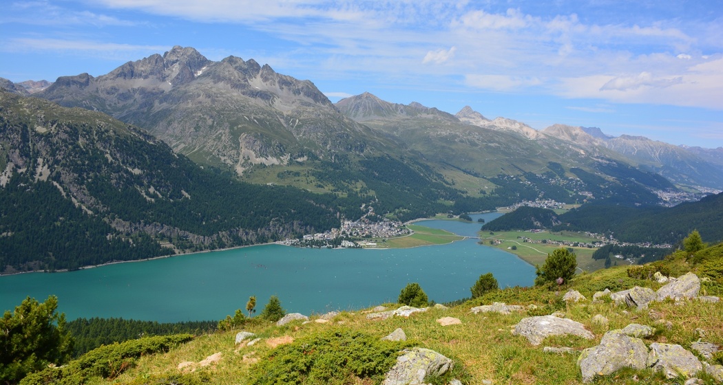
The panoramic hiking route high above Lake Silvaplana
Details
Description
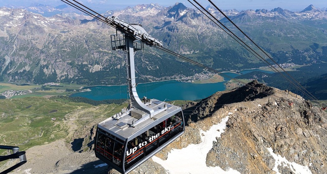
In a few minutes you float with the aerial cableway from Surlej (opening times to be observed) over treetops and alpine meadows to the middle station of the Corvatsch cable car. A detour to Piz Corvatsch is worthwhile. On the one hand, Corvatsch has the highest-altitude restaurant in the canton of Graubünden, on the other hand, you enjoy a fabulous 360-degree view of the mountain world and the Upper Engadine lake district. After a refreshment in the restaurant 3303, you comfortably float back to the middle station. From there, continue on foot downhill. While winter sports enthusiasts enjoy this place in winter, in summer it is the hikers who are enthusiastic about the view over the Upper Engadine lake plateau. Along the slope, high above Lake Silvaplana, the well-accessible mountain hiking trail leads from the Corvatsch middle station always following the signs «Segl», «Segl Maria» and «Segl Baselgia» to Alp Prasüra, from where Sils can be reached by various paths.
Further information
Engadin Tourismus AG
Via Maistra 1
CH-7500 St. Moritz
Phone: +41 81 830 00 01
E-mail: allegra@engadin.ch
Internet: www.engadin.ch
Hidden Gem
Instead of walking down to Sils, you can also take the Furtschellas cable car.
Directions
Corvatsch middle station Murtèl – Prugnieu – Alp Prasüra – Sils
Directions
Public Transport
With the Engadin bus to start: Stop Surlej Corvatschbahn
With the Engadin bus from the end: Stop Sils/Segl Maria Post
Travel Information
Parking
Surlej parking garage
Surlej parking lot


Responsible for this content: Engadin Tourismus AG.

This website uses technology and content from the Outdooractive platform.