
 Weather
  Webcams
  Attractions
  Gastronomy
  Tours
Tours  Events
 Glacier Educational Trail Silvretta
Show all 8 images
Details
Description
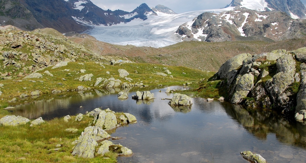
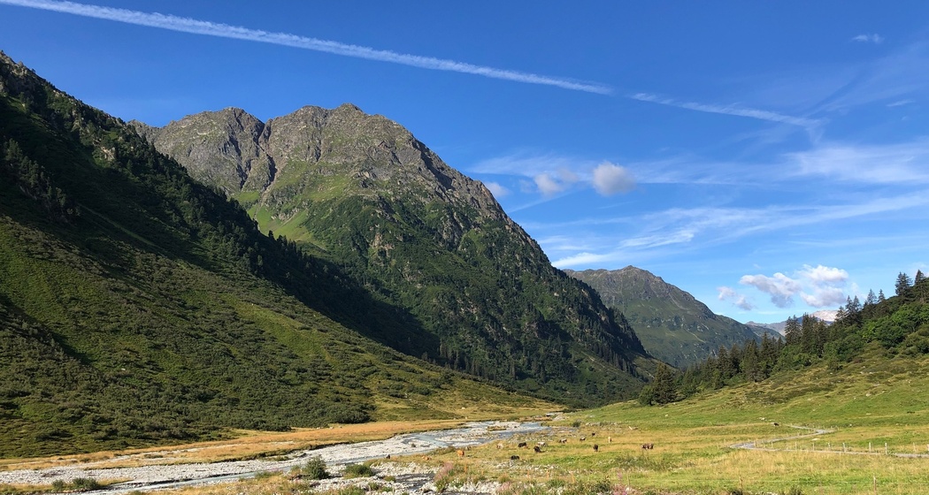
The Silvretta Glacier Educational Trail meanders as a circular hiking path over four kilometers through the glacier forefield of the Silvretta Glacier. It overcomes about 300 meters of elevation gain. Yellow-blue markings show the path. Along the circular route, 15 themed panels provide information and graphics on local conditions but also highlight connections to global warming, the role of humans, etc.
The circular hike as described here uses the nicely and evenly constructed old bridle path for the ascent to the Silvretta Hut, follows the glacier circular trail, and descends back to the Alp via the scenic Galtürtälli.
Hidden Gem
Safety Note
Equipment
Directions
1. Ascent to the Silvretta Hut: 2 hours from Alp Sardasca via the direct hut trail
2. Glacier Educational Trail Tour: approx. 2-3 hours, depending on stops and breaks
3. Descent through the Galtürtälli back to Sardasca: 1 hour 45 minutes.
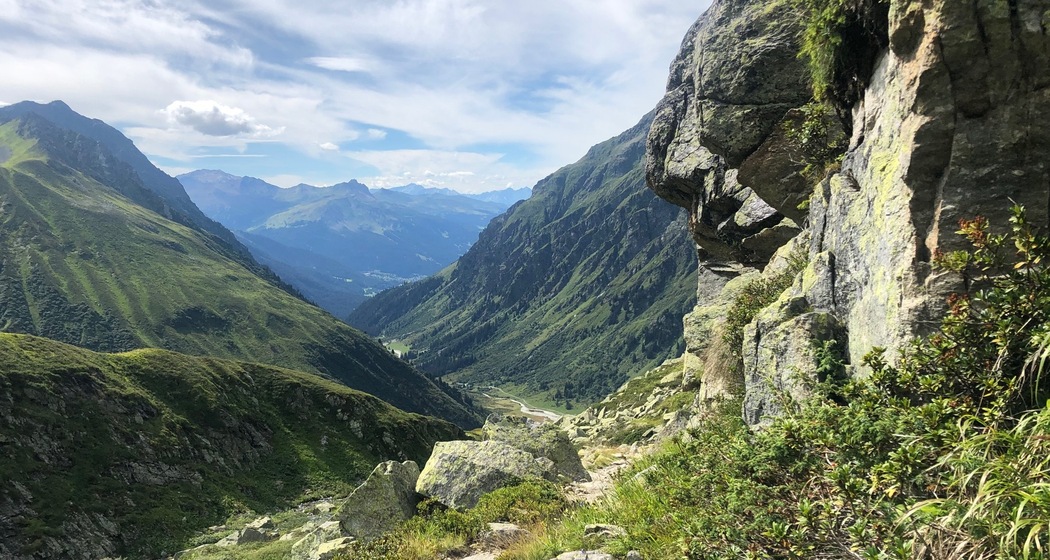
The descent through the Galtürtälli branches off shortly before the end of the Glacier Educational Trail (above the Silvretta Hut) from the circular route. As an alternative, it is also possible to follow the circular route back to the hut and descend again via the direct hut trail (ascent route). However, the Galtürtälli is a very rewarding route with beautiful flora, panoramic views, and lots of afternoon sun!
Directions
Public Transport
Travel Information
From Zurich, drive via the A3/A13 motorway (follow the green signs) towards Chur to Landquart. From Landquart, continue on the cantonal road A28 to Klosters. Note that you need a motorway vignette (CHF 40.-) for Swiss motorways. This can be purchased at all border crossings, gas stations, and post offices. More information about Swiss motorways: www.autobahnen.ch
Parking
If you start on foot from Klosters, the parking lot at the upper edge of Monbiel is recommended (paid parking, tickets up to 3 days at the machine, for longer parking please get a long-term parking permit at the municipal office (Klosters town center)).
If you take the bus taxi to Sardasca: Several large paid parking lots are available in the center. The train station square (bus taxi start point) is within a few minutes' walk.
Responsible for this content: Destination Davos Klosters.

This website uses technology and content from the Outdooractive platform.