
 Weather
  Webcams
  Attractions
  Gastronomy
  Tours
Tours  Events
 Lagalb - Val Minor - Motta Bianca - Lagalb
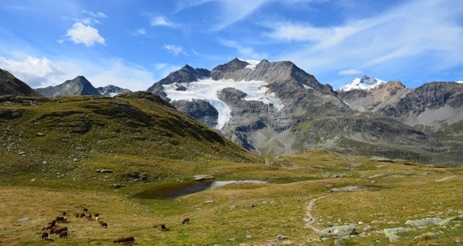
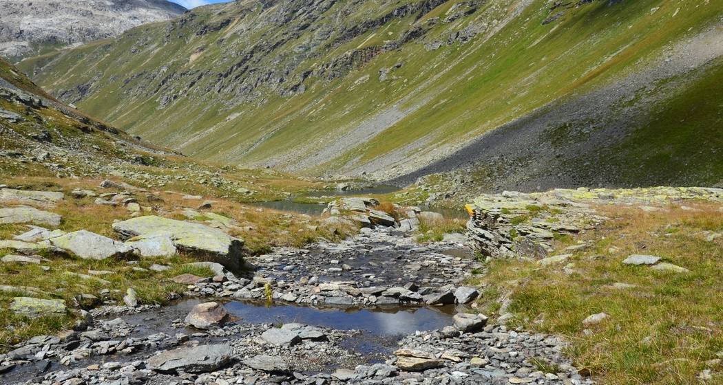
Show all 5 images
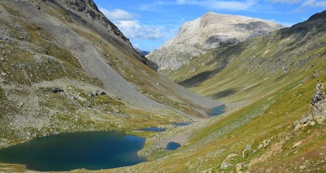
This moderate hike leads once around the Piz Lagalb.
Details
Description
From the valley station of the Lagalb cable car, the path first rises briefly before leading relatively flat into the Val Minor. Time and again, you hear the piercing whistles of the cute marmots, who spot us hikers and warn each other about these two-legged creatures. Occasionally, you will certainly see one of these charming Alpine rodents disappearing into its burrow. The magnificent flora provides a beautiful backdrop to the hike and the small lakes you pass on your way to Lej Minor also contribute to an impressive natural experience.
On the opposite slope, there are still tunnels where ore was mined in the past. After leaving the Fuorcla Minor behind, you have to traverse a steep slope. Watch out: surefootedness and a head for heights are definitely advantageous here! But after this more demanding section, you can again enjoy the wonderful surroundings and the view of the imposing Piz Cambrena. You will comfortably walk towards the pass road, but always stay above it until the path leads back down to the valley station of the Lagalb cable car.
Further information
Engadin Tourismus AG
Via Maistra 1
CH-7500 St. Moritz
Phone: +41 81 830 00 01
E-Mail: allegra@engadin.ch
Internet: www.engadin.ch
Hidden Gem
The route can be shortened by walking to the Ospizio Bernina.
Directions
Directions
Public Transport
Parking


Responsible for this content: Engadin Tourismus AG.

This website uses technology and content from the Outdooractive platform.