
 Weather
  Webcams
  Attractions
  Gastronomy
  Tours
Tours  Events
 O - GPS Parpan Tschiertschen
Open
Difficult
16.6 km
5:20 h
697 mhd
804 mhd
Show all 5 images
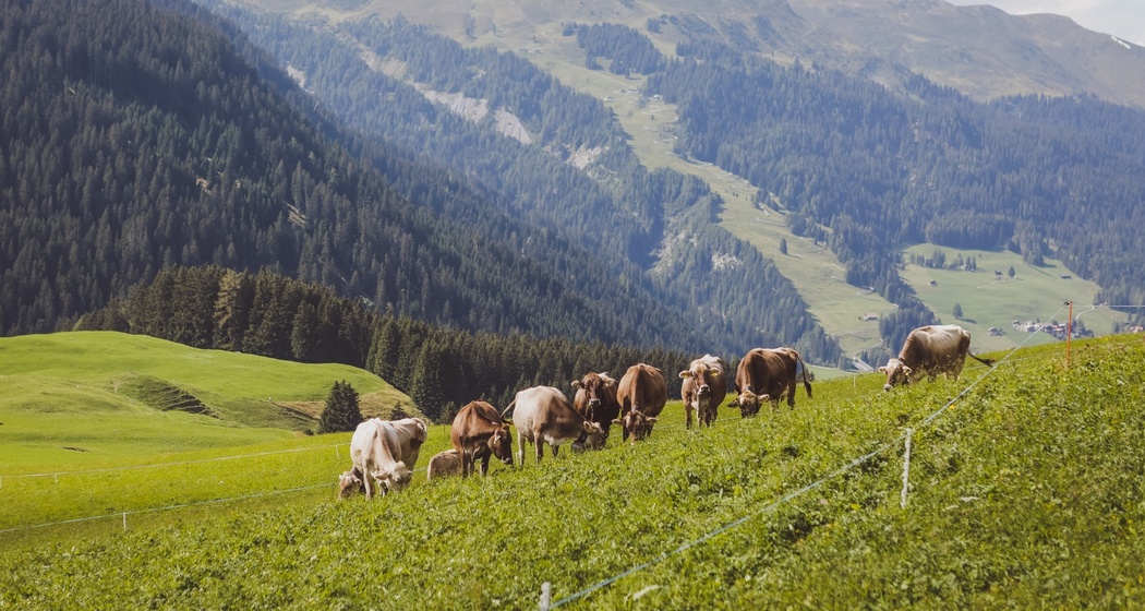
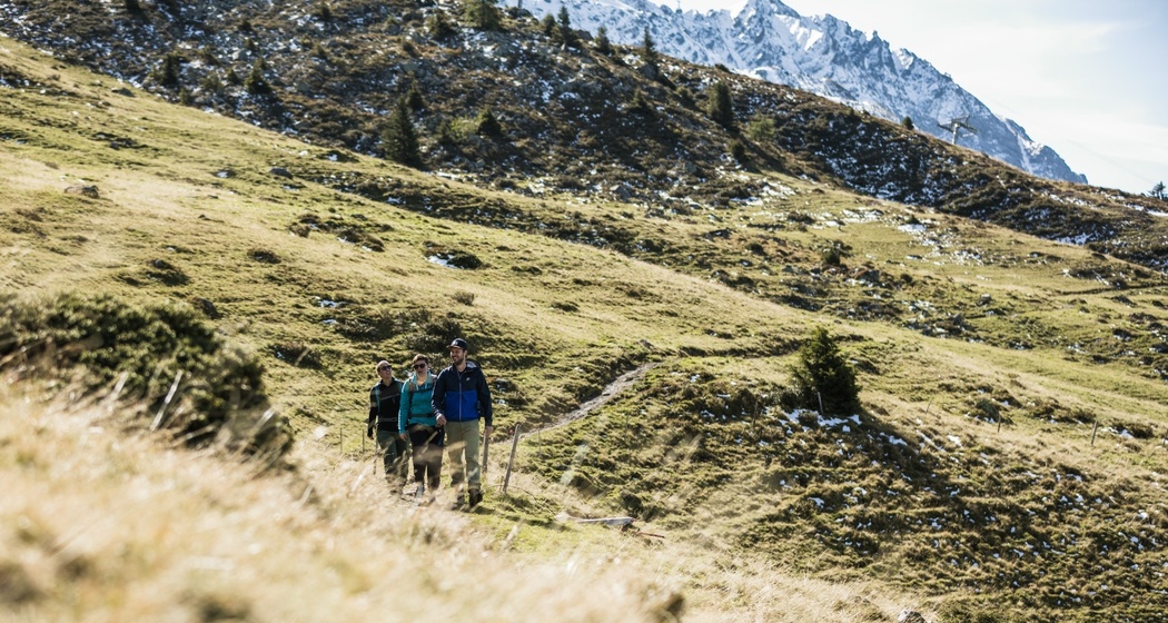
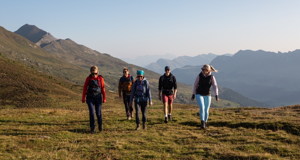
The hike is very scenic and offers wide, varied landscapes. The panoramic hike is suitable for pleasure hikers who want to enjoy wide views of the Grisons mountains.
Best Season
Jan
Feb
Mär
Apr
Mai
Jun
Jul
Aug
Sep
Okt
Nov
Dez
Start
Parpan
Destination
Tschiertschen
Coordinates
46.760074, 9.557586
Details
Description
The start in Parpan leads across wide meadows via Mittelberg, where many beautiful old Maiensässe adorn the landscape. On the Joch, there is a wide view of the town of Chur and the Chur Rhine Valley. The destination of the hike is the charming mountain village of Tschiertschen with its typical Walser architecture.
Safety Note
Good footwear and enough food for a picnic with great views.
Directions
Public Transport
As the hike leads from A to B, it is recommended to travel by public transport.
Travel Information
From Chur or Lenzerheide, take the Postbus to Parpan Post, where the route starts.


Responsible for this content: Arosa Lenzerheide.

This website uses technology and content from the Outdooractive platform.