
 Weather
  Webcams
  Attractions
  Gastronomy
  Tours
Tours  Events
 Parc Ela Trek overall, stages 1 - 18: Tiefencastel - Septimer Pass - Pass d'Ela - Sertig Pass - Ducanfurgga - Lantsch
Difficult
227.2 km
87:00 h
14000 mhd
13500 mhd
Show all 4 images
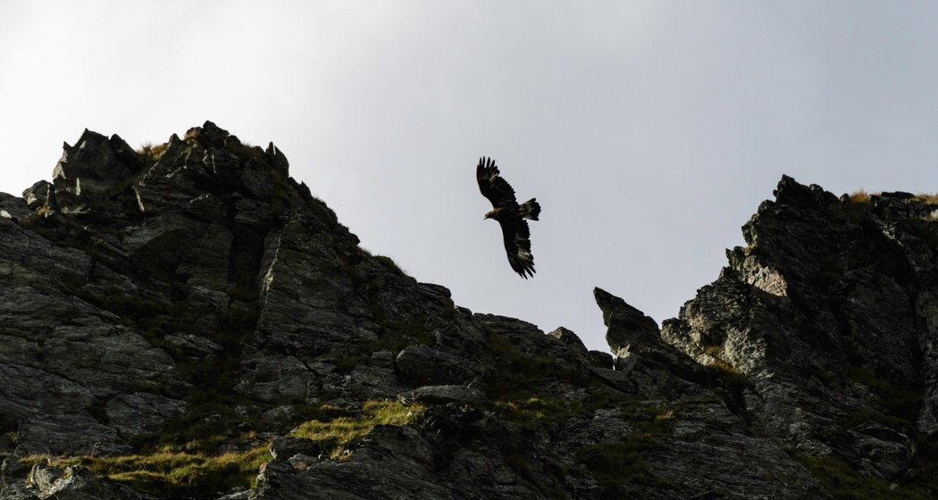
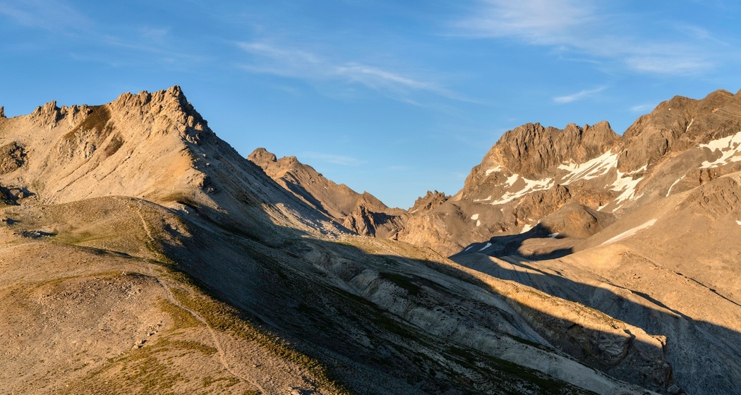
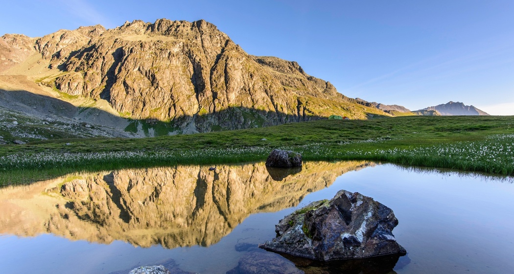
Hiking over alpine passes, species-rich mountain meadows, hidden moor landscapes, and archaic mountain landscapes in 18 challenging stages around Parc Ela.
Best Season
Jan
Feb
Mär
Apr
Mai
Jun
Jul
Aug
Sep
Okt
Nov
Dez
Coordinates
46.664119, 9.572099
Details
Description
The Parc Ela Trek leads, mostly at 2000 m above sea level and higher, through the alpine mountain landscape of Parc Ela. The start and end locations, Tiefencastel and Lantsch, are easily accessible by public transport. Over 18 challenging stages, covering 222 kilometers and 15,000 meters of altitude, 20 passes are crossed and 25 alp valleys are traversed. Trekking along pristine streams to the most beautiful mountain lakes in Switzerland, over species-rich mountain meadows and moor landscapes, through bright alpine forests and dwarf shrub heaths, and further up to alpine turf and pioneer communities, where rock and ice dominate, where rare alpine flowers are still visited at the highest altitudes by butterflies and others, and where the large ice streams have shaped an archaic landscape. Along the way, the Romansh, Walser German, and Italian language cultures can be experienced. In the stage towns, Parc Ela trekkers enjoy regional specialties.
Hidden Gem


Responsible for this content: Verein Parc Ela.

This website uses technology and content from the Outdooractive platform.