
 Weather
  Webcams
  Attractions
  Gastronomy
  Tours
Tours  Events
 Route26
Show all 3 images
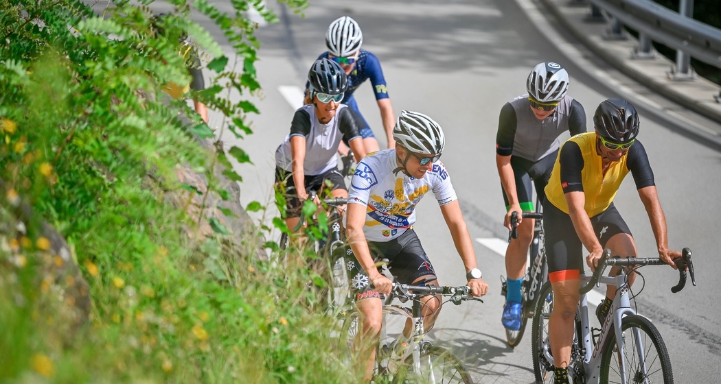
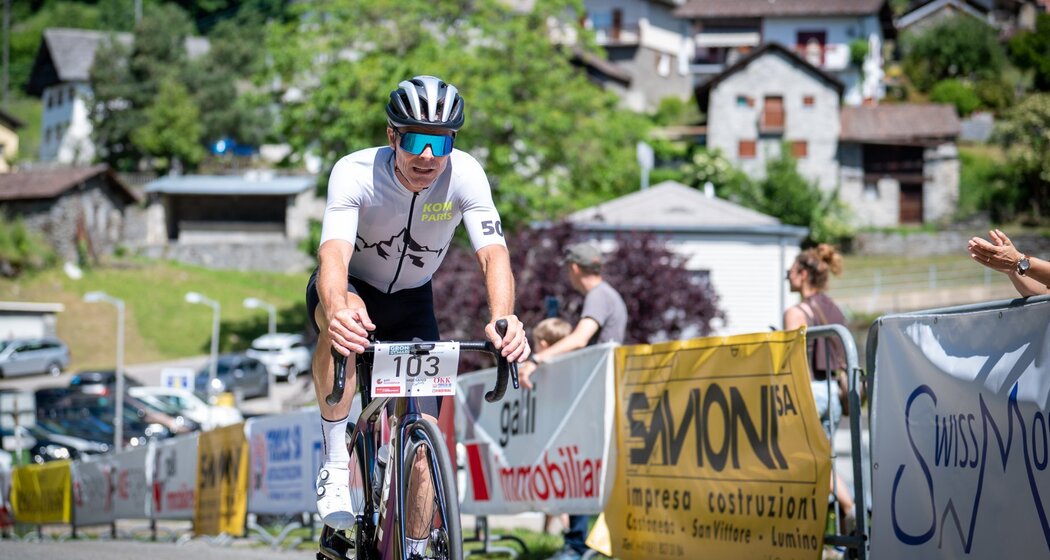
Pedal from Grono to the villages of the outer Calanca, Castaneda and Santa Maria iC, challenging the curves of the historic Route 26 and enjoying breathtaking landscapes.
Details
Description
In 1830, timber merchants who relied on the natural water power of the Calancasca River for transporting wood expressed the desire to build the first road to the Calanca, a very narrow river valley with steep sides and landslides, which still today represents a unique challenge for engineers. Between 2021 and 2023, the old and winding access on the left bank was renovated and renamed Route 26 in honor of its historic 26 hairpin bends, becoming a particularly pleasant slow mobility route between Grono and the two picturesque villages of the outer Calanca (Castaneda and Santa Maria), while at the same time becoming a sought-after destination for exciting bike races.
Hidden Gem
Along the route, the popular Grono-S.Maria cycling event is held every year, an Open category race open to all starting from the New Birreria District of Grono.


Responsible for this content: Ente Turistico Regionale del Moesano (ETRM).

This website uses technology and content from the Outdooractive platform.