
 Weather
  Webcams
  Attractions
  Gastronomy
  Tours
Tours  Events
 Samnaun-Compatsch – Fliesser Alp – Spiss (round route)
Show all 5 images
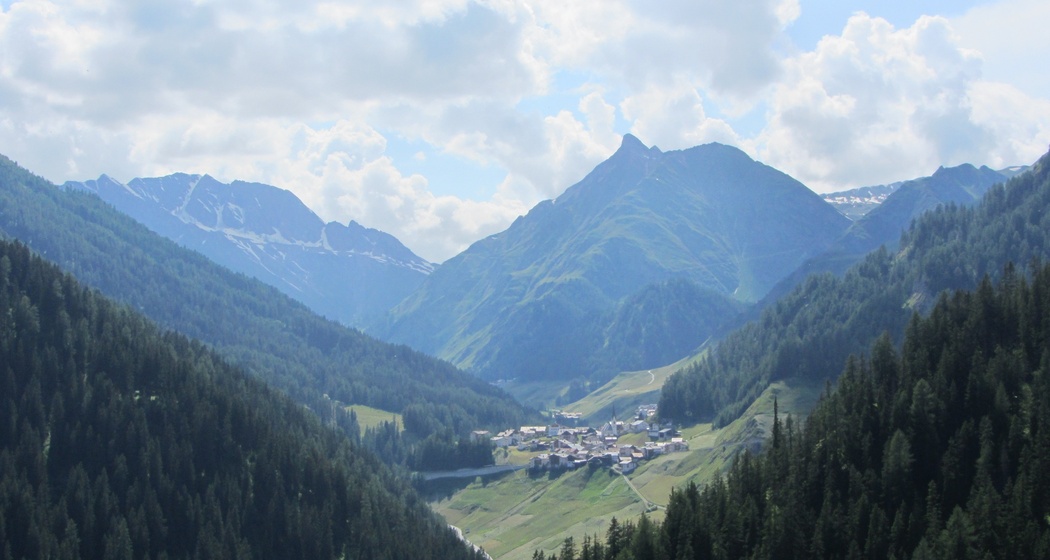
Round route from Samnaun-Compatsch across the Austrian national border to Spiss and back.
Details
Description
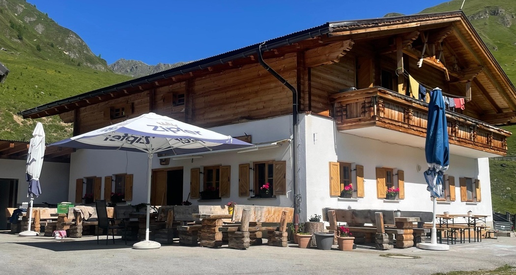
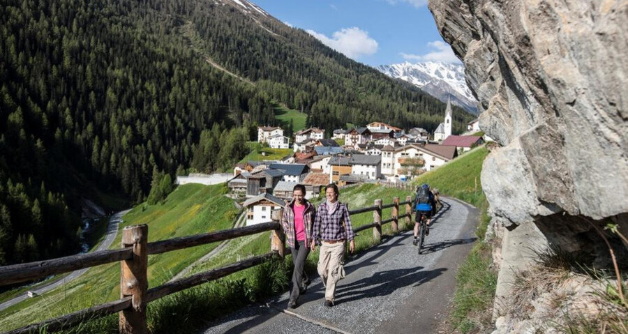
The route starts in the town center of Samnaun-Compatsch and steadily climbs through the forest on the cultural path into the Zander valley. After crossing the Malfragbach and thus the national border, it continues across the Zander meadows upwards to the Fliesser Alp. After the stop there, it goes directly below the alp to the Zander creek. Past a lovely playground with a fire pit it goes with a slight descent to Spiss (1678 m above sea level), the highest community in Austria. At the church in Spiss, turn into the L348 Spisser Street, which leads down to customs at Spissermühle. The route follows the main street for about 1.5 km back to Samnaun-Compatsch.
Safety Note
The route was assessed in favorable weather conditions; current weather conditions and forecasts must be observed before starting the ride. This route does not require advanced riding skills or technical ability.
Emergency numbers:
144 emergency call, first aid
1414 mountain rescue REGA
112 international emergency number
Show consideration when crossing and overtaking hikers.
The Grisons mountain bike routes largely run on single trails that are also marked as hiking paths. Hikers always have right of way.
Equipment
Helmet, gloves, good footwear, glasses, rain and sun protection, drinking bottle, repair kit, first aid kit
Directions
- Start in the town center of Samnaun
- Along the national border into the Zander valley (via Val da Mot and Val Scüra)
- Crossing the Malfragbach (point 1725)
- Along the Zander meadows to the Fliesser Alp
- Crossing the Zander creek
- Along the creek to the Malfragbach
- Towards Spiss via Muttakopf
- Descent to Oberspiss and Spiss 1678 m
- Follow the main road for about 1.5 km (up to the sawmill)
- Follow the forest road south of the Schergen creek to Laret
- Back into town to Samnaun-Compatsch
Directions
Public Transport
- By Rhaetian Railway (from Chur, Landquart/Prättigau or from Upper Engadin) hourly to Scuol-Tarasp station
- Continue by PostAuto to the PostAuto stop Samnaun-Compatsch, Erlebnisbad
- From Samnaun village or Martina hourly to Samnaun-Compatsch, Erlebnisbad
Travel Information
- From the north: via Landquart – Klosters by car shuttle through the Vereina tunnel (Selfranga - Sagliains) or over the Flüela pass into the Lower Engadin on H27, turn left at Vinadi towards Samnaun to Samnaun-Compatsch
- From the east: via Landeck / Austria towards the Reschen pass on the B180, from Kajetansbrücke towards Spiss – Samnaun on L348
- From the south: via Reschen pass to Kajetansbrücke, then towards Spiss – Samnaun on L348
Parking

Responsible for this content: Tourism Engadin Scuol Samnaun Val Müstair AG.

This website uses technology and content from the Outdooractive platform.