
 Weather
  Webcams
  Attractions
  Gastronomy
  Tours
Tours  Events
 Senda Sursilvana Alpina - Stage 5: Pigniu - Segneshütte

Show all 10 images
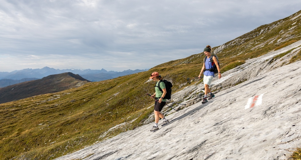
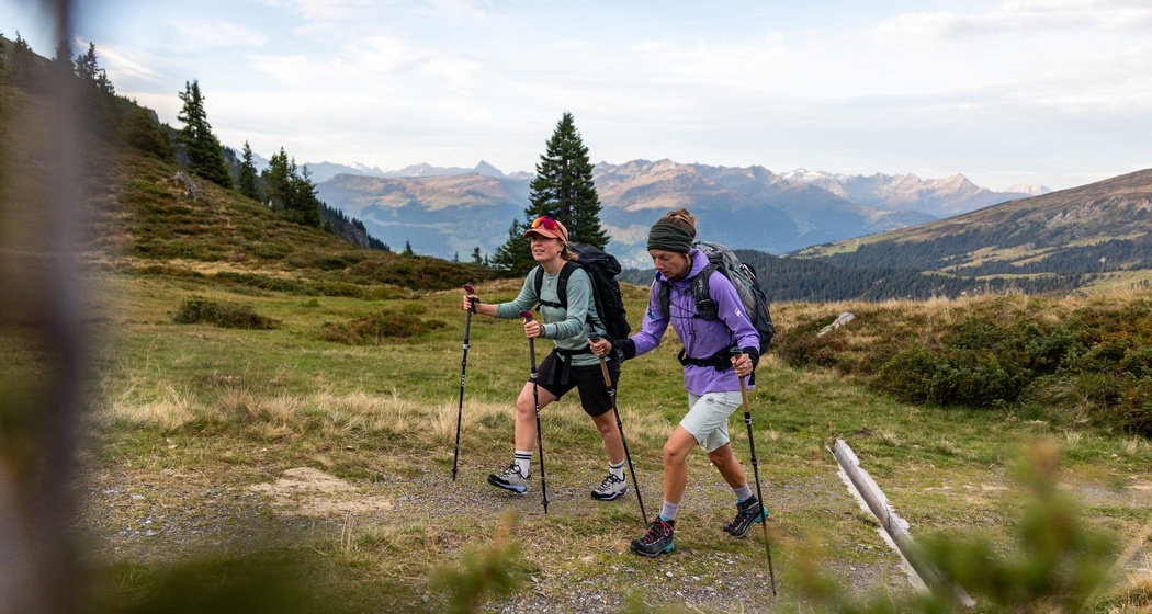
Hike from Pigniu to the Segneshütte with impressive mountain views, clear lakes, and striking limestone formations.
Details
Description
The trail is barely visible in places, but markings guide reliably. The ascent to Fuorcla da Sagogn runs over bright limestone slabs and interesting karst formations. From the saddle, the vast Flims mountain world is visible. A well-developed path continues past clear mountain lakes and babbling brooks to Nagens and up to Grauberg, the gateway to Segnesboden. Finally, the high plateau opens up with the striking Tschingelhörner in the background, and the terrace of the Segneshütte invites you to enjoy a well-deserved rest.
Hidden Gem
For the tour, an early reservation of the huts is necessary as the spaces are limited.
Safety Note
The tour should not be started in uncertain weather conditions. Weather changes in the mountains are frequent. If a rain front or similar approaches during the hike, you should turn back in time.
Equipment
For the long-distance hike, it is recommended: hiking backpack with rain cover, good hiking shoes or trekking shoes with a firm profile, weather-appropriate clothing in layers including rain and sun protection, change of clothes, provisions and drinking water, telescopic poles, a first aid kit, pocket knife, headlamp, maps, hut sleeping bag as well as personal hygiene items.
Directions
Pigniu - Alp Ranasca - Furocla da Ranasca - Fuorcla da Sagogn - Nagens - Grauberg - Segneshütte
Directions
Public Transport
From Chur, take the Rhaetian Railway through the spectacular Rhine Gorge to Ilanz. Then take the post bus from Ilanz to Pigniu to the stop Pigniu, Vitg.
Important: There are only 3 different connections per day to Pigniu.
www.sbb.ch


Responsible for this content: Surselva Tourism.

This website uses technology and content from the Outdooractive platform.