
 Weather
  Webcams
  Attractions
  Gastronomy
  Tours
Tours  Events
 Spluga Bianco entire tour
Show all 6 images
Details
Description
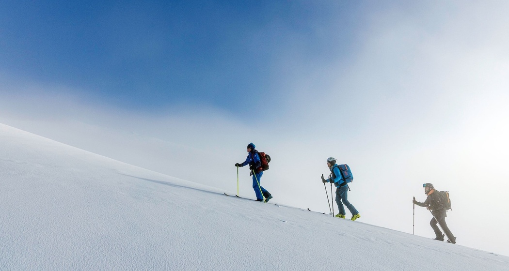
The starting point is Splügen. From the cable car parking lot, the ascent initially follows the summer trail via Spluga (trail marking no. 50) to the parking lot "Im Loch". Afterwards, the route climbs more steeply and runs parallel to the winter hiking trail up to the Marble Bridge. From there, the path follows the winter hiking trail to the valley station of the Bodmenstaffel chairlift. The chairlift takes you up to Alpettli, efficiently overcoming the first altitude meters.
From Alpettli, the alpine main part of the tour begins. The route heads south along the eastern flank of the Alpettlistock and stays as much as possible at an elevation of around 2,200 m above sea level. After a descent through a small side valley of about 250 meters elevation, a corresponding ascent follows. Then, you reach the area above the Splügen mountain lodge and the historic customs building.
Here begins the historic avalanche gallery at Splügen Pass, built between 1843 and 1846 according to plans by engineer Carlo Donegani, serving to protect the pass road from avalanches. The route follows the avalanche gallery to the pass summit. Then, the path leads down largely in a direct line above the pass road to the high-altitude mountain village of Montespluga, which is ideal as a stage destination with overnight accommodation.
The return journey usually begins the next day with the ascent back to the pass summit. The same path as on the outbound journey is used up to the northern end of the avalanche gallery. After passing the old customs house and the mountain lodge, the route runs north of the pass road's hairpin bends downhill. The first descent is relatively steep, leading down to around 1,900 m above sea level.
From there, the terrain gets flatter, and the route follows a elongated line to the valley station of the Bodmenstaffel chairlift. For the last section back to Splügen, the winter hiking trail is followed again, similar to the ascent, back to the starting point.
Safety Note
- Plan your tour in advance
- Check the avalanche situation and weather conditions the day before and shortly before starting
- Check your safety equipment and material before starting
Liability claims of any kind against Viamala Tourism as well as against the authors are excluded.
Equipment
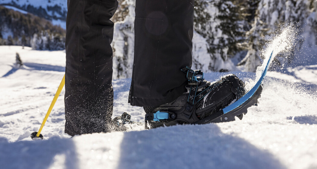
- Ski touring equipment or snowshoe touring equipment
- Safety equipment
- AVS (functional)
- Probe
- Shovel
- if applicable, Air Bag
- Emergency first aid kit
- Mobile phone
Directions
Directions
Public Transport
Travel Information
Parking


Responsible for this content: Viamala Tourism.

This website uses technology and content from the Outdooractive platform.