
 Weather
  Webcams
  Attractions
  Gastronomy
  Tours
Tours  Events
 749 Suspension Bridge Path Val Meltger
Show all 6 images
Details
Description
After crossing, a narrow path leads further towards Vasternos. The landscape opens up, the remote Alpine hut marks the transition into quieter terrain. A forest road gently descends before the path ascends again at a fork. It crosses the mostly dry mountain stream at Runcalatsch, where a short glance into the rocky stream bed is worthwhile. Then the route continuously leads downhill back to the starting point in the village.
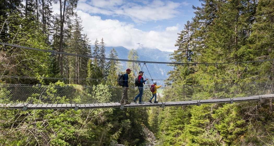
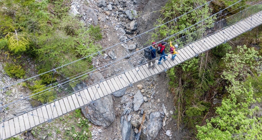
The hike combines different landscapes: narrow forest paths, open alpine meadows, and a spectacular gorge crossing. Characteristic are the contrasts between the quiet sections and the exposed passages on the bridge. Historical buildings or tourist infrastructure are largely missing, which emphasizes the natural character of the route. The elevation differences require good basic fitness but reward with varied perspectives and an intense nature experience.
Safety Note
Equipment
Directions


Responsible for this content: Arosa Lenzerheide.

This website uses technology and content from the Outdooractive platform.