
 Weather
  Webcams
  Attractions
  Gastronomy
  Tours
Tours  Events
 Alter Zügenweg
Show all 8 images
Details
Description
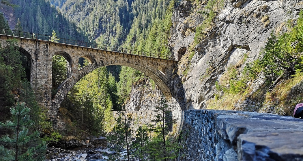
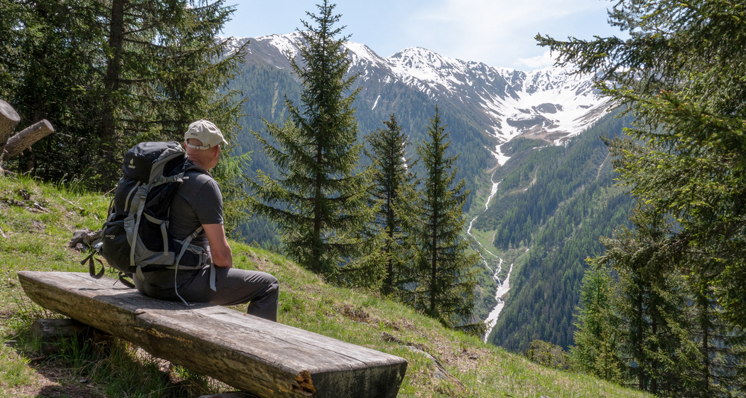
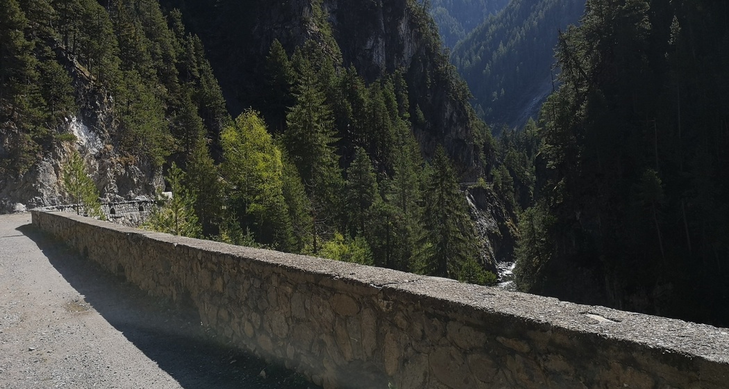
From Glaris, the trail leads to the right up a road that later turns into a forest road. It climbs gently but steadily and gradually narrows. The middle section through the magnificent forest, passing through Höheggen to Steigwald, offers varied views of the surrounding mountains and down into the imposing Zügenschlucht gorge. While the railroad line is still visible now and then on the opposite slope, the cantonal road is no longer audible. After about 12 km along the old Zügen Trail, which runs above the Zügenschlucht, you’ll reach the idyllic Walser village of Davos Wiesen. From there, the final section leads down to the Wiesen Station. The Rhaetian Railway provides a quick and comfortable ride back to Davos.
Hidden Gem
The five-minute detour to the Wiesner Viaduct—the second-highest bridge in the Rhaetian Railway network—is well worth it and offers another view of the Zügenschlucht Gorge.
Safety Note
Zügenschlucht: Due to the risk of falling rocks, the trail through the Zügenschlucht is closed until further notice for safety reasons. More information about the Zügenschlucht
The hike can still be done even in inclement weather.
Directions
From Davos Glaris, follow the signs for “Station Monstein.” From Station Monstein, follow the signs for “Zügenschlucht” and then for “Wiesen Station.”
Directions
Public Transport
Take the train to Landquart, then continue on the Rhaetian Railway (RhB) to Davos.
Travel Information
By Car to Davos
- Route 28 Landquart - Davos
- Landwasserstrasse Thusis - Davos
Parking
Public Parking Spaces/Parking Garages in Davos


Responsible for this content: SwitzerlandMobility.