From Avers-Cresta to the Bandsee lakes


Show all 5 images

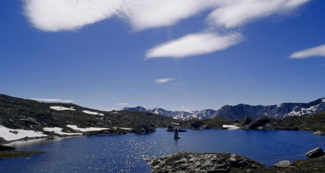
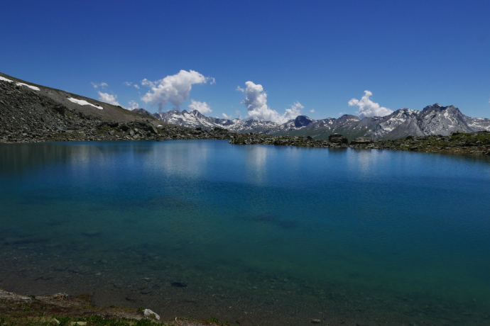
Hike from Avers-Cresta to the idyllic Bandsee lakes at 2,600 m above sea level.
Details
Description
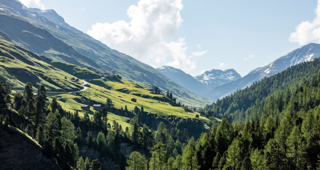
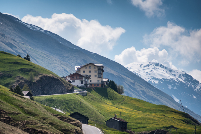
The hike begins in Avers-Cresta at an altitude of 1,960 m. At the upper end of the village, take the hiking trail towards Tälifurgga. The path leads steadily uphill in several hairpin bends above the Maleggabach stream into the 'Täli'. From an altitude of 2,300 m above sea level, the trail follows the Maleggabach stream to the fork at point 2,515. We leave the path to Tälifurgga and turn right towards Oberer Bandsee.
The path to the upper Bandsee is well marked and soon the upper Bandsee shines out in all its beauty and purity. Resting on the shore, enjoying the silence and watching the fish hunt for mosquitoes makes the hike an unforgettable experience.
Any hiking trail closures/restrictions or detour can be found here.
Hidden Gem
Stop off at the Hotel Capetta in Avers-Cresta
Safety Note
There is a pathless connection to the lower Bandsee. However, this path is not marked and is extremely steep.
Directions
Avers-Cresta - Band lakes - Avers-Cresta
Directions
Public Transport
Avers-Cresta can be reached by PostBus and timetable information can be found at www.sbb.ch.
Travel Information
A13/E43, exit 26-Rofla, follow the signs to Avers
Responsible for this content: Viamala Tourism.

This website uses technology and content from the Outdooractive platform.

