Bärenhorn in the remotest Safiental


Show all 5 images

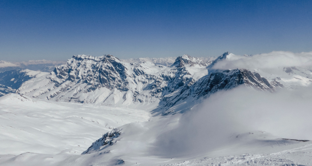
The Bärahora is a fantastic ski touring highlight in the remotest Safiental. Demanding, with a long approach and only feasible under very safe conditions.
Details
Description
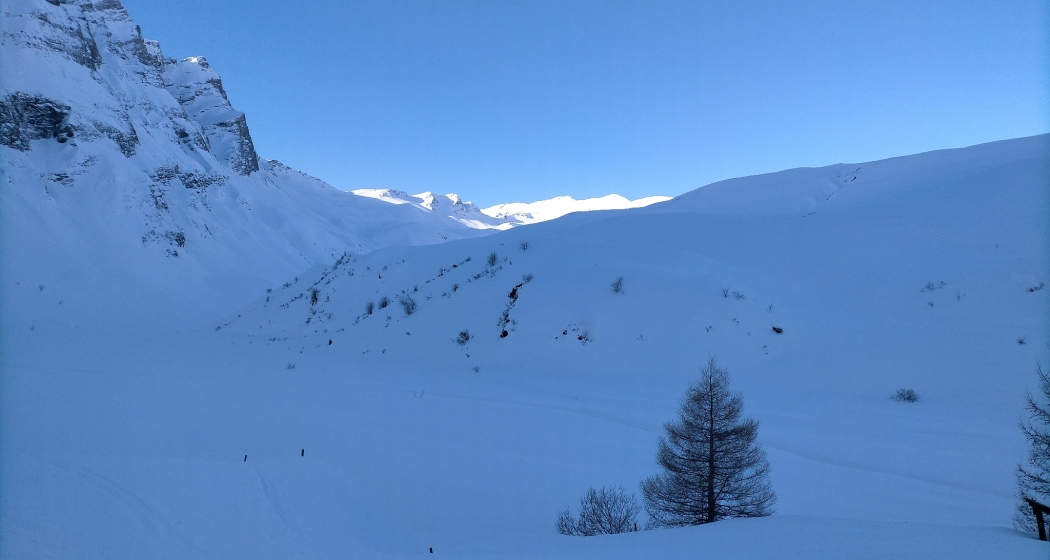
Those arriving by public transport start the tour by carrying skis for about 800 meters to the parking lot at the small reservoir. From there, you can easily enter via the winter hiking trail. At the very back, aptly called "Z`Hinderst," the valley narrows and becomes more alpine. The route passes under the "Chrachen" and climbs the very steep slopes up to the high valley at Lengegga. Now you see for the first time towards the summit and know that it is still far to the goal—namely about 600 meters of elevation gain. Those who have an eye for the beautiful ski touring slopes know how rewarding the summit ascent is. The considerable height of the Bärenhorn now allows a similarly fantastic view of the mountains of Graubünden and the southern Alps.
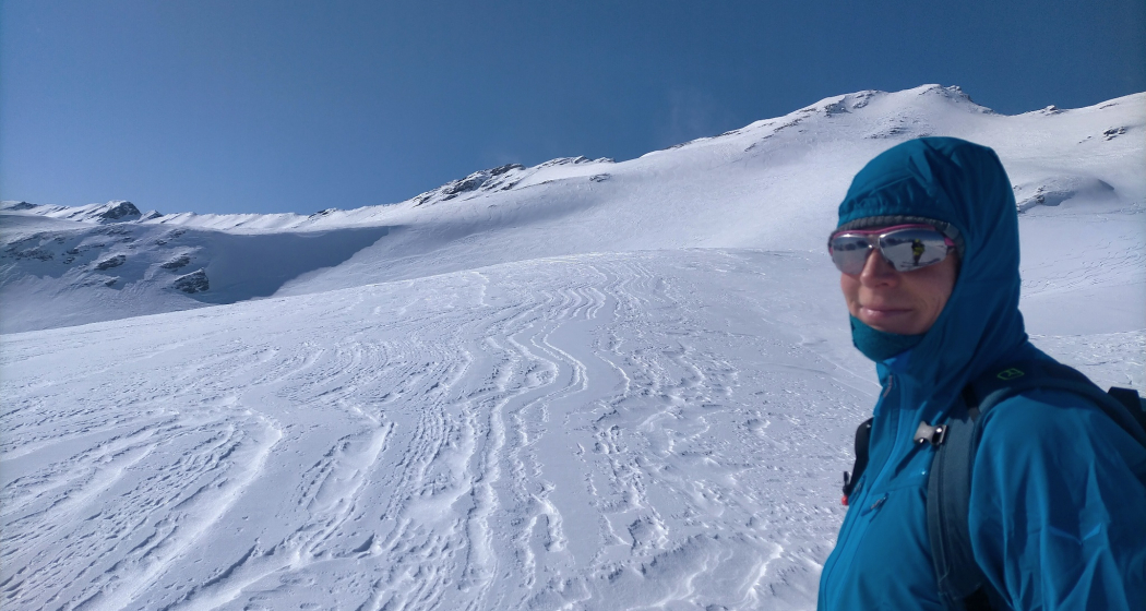
The descent follows the ascent route. It offers great slopes that you will not forget quickly. Often you will still find powdery slopes here when other tours are already dominated by crust.
Hidden Gem
Safety Note
Ski and snowshoe tours in unsecured terrain require good knowledge in assessing avalanche danger and route planning. Furthermore, a complete safety equipment must always be carried - regardless of the current avalanche danger.
We recommend the APP and website of WhiteRisk for preparation and planning of the tour.
For carefree enjoyment, we recommend our mountain guides and snowshoe hiking leaders of the Surselva.
Equipment
See safety instructions
Directions
Turrahus - Wanna - Z` Hinderst - Chracha - Lengegga - Bärenhorn - descent via the ascent route
Directions
Public Transport
By train to RhB station Versam-Safien. Then by Postbus to the final stop Thalkirch, Turrahus.
Travel Information
Drive from Chur or Ilanz to Versam. Then turn into Safiental and drive via Turrahus to the small parking lot Wanna.
Winter equipment required.
Parking
Small parking lot at the end of the road (winter) up to Wanna. A few meters before, there are some individual parking spaces in a forest clearing. Or then at the Turrahus.
Responsible for this content: Surselva Tourism.

This website uses technology and content from the Outdooractive platform.
