Sledding path Furna


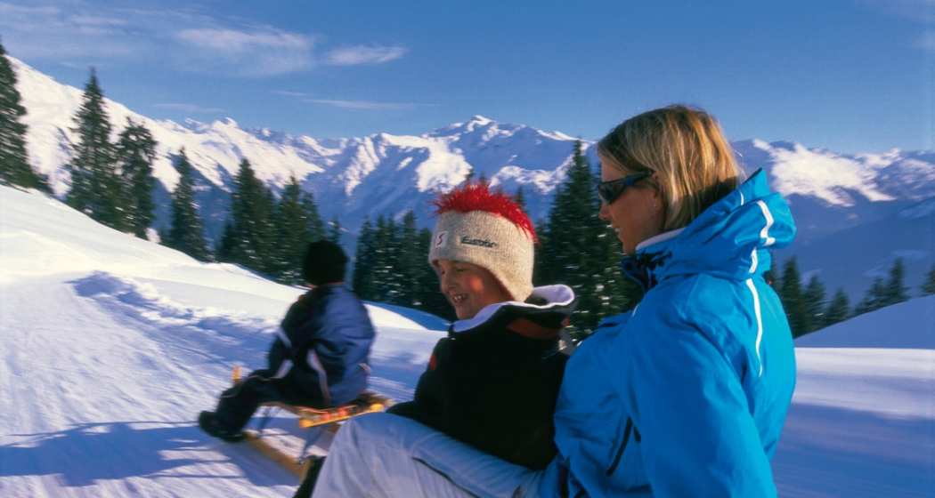
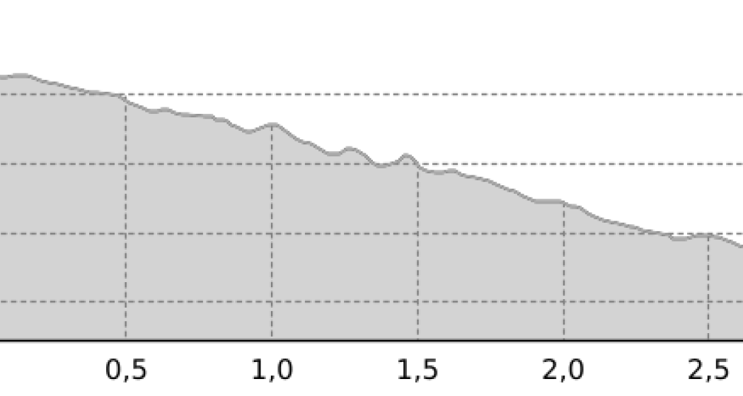
Approx. 3 km long sledding path with a constant slight slope. Please note that it is also a driving road. Vehicles can be expected at any time.
Details
Description
The approx. 3 km long Danusa Street is cleared in winter, but is mostly snow-covered and is ideal for sledding with the whole family.
Hidden Gem
Relaxed hike along the winter hiking trail from Furna to Danusa (Adamsgaden) and back to the village by sled.
Safety Note
Danusa Street is open to traffic with a permit. Therefore, vehicles coming from the opposite direction can be expected at any time.
Directions
To start at Adamsgaden, you can reach it via Danusa Street or via the marked winter hiking trail between Furna and Danusa.
Time indication without ascent. Information about the winter hiking trail can be found in the route description "Winter Hiking Trail Güfer". Driving permits are available at the works yard (self-service) or the municipal office.
Directions
Public Transport
Travel Information
Parking
Responsible for this content: Prättigau Marketing.

This website uses technology and content from the Outdooractive platform.