
 Weather
  Webcams
  Attractions
  Gastronomy
  Tours
Tours  Events
 Parc Ela Trek Stage 18: Aclas Dafora - Culmet - Alp Sanaspans - Lantsch/Lenz
Medium
14.8 km
6:00 h
922 mhd
1273 mhd
Show all 7 images
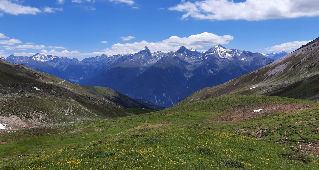
Up into a wild mountain landscape between Arosa and Lenzerheide, over alpine pastures and through mountain forests down to the historic mountain village of Lantsch/Lenz
Best Season
Jan
Feb
Mär
Apr
Mai
Jun
Jul
Aug
Sep
Okt
Nov
Dez
Coordinates
46.69588, 9.640825
Details
Description
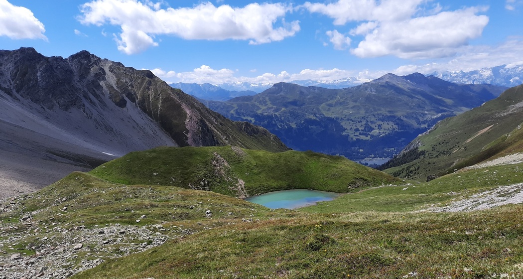
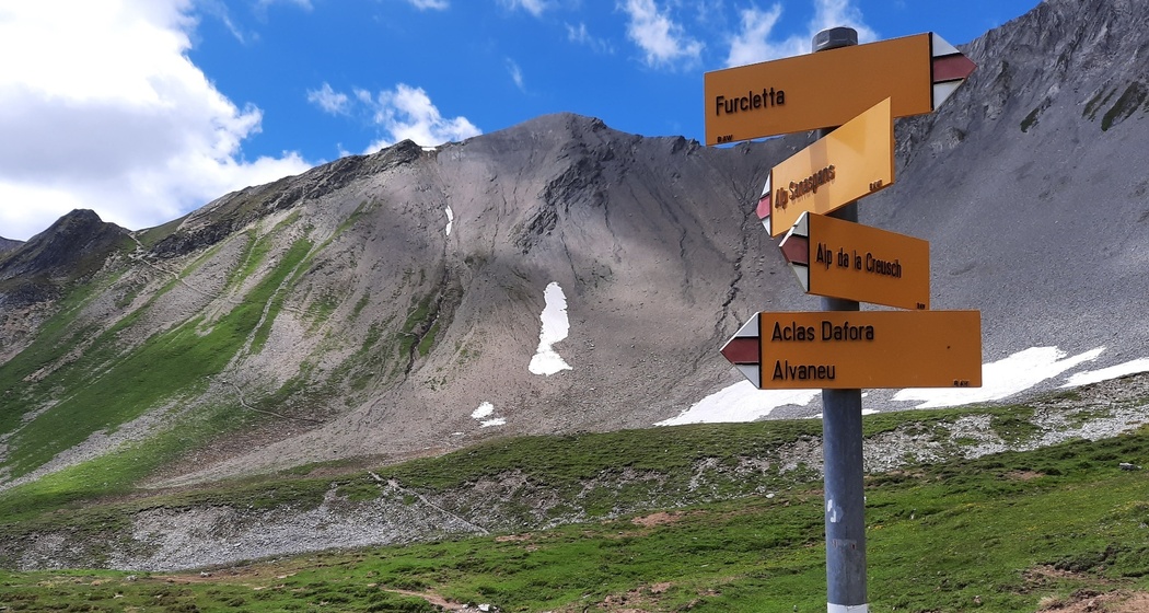
The Parc Ela Trek follows above Aclas Dafora the stream course into the Val digl Guert. After a section of forest, the landscape opens up. The dairy cows of the Alp la Creusch graze here up to the Lajets. At the point 2484 m, we turn east and climb up to the ridge (P. 2614 m). The mountain landscape at Culmet is very dynamic, which also affects the mountain hiking trail. We focus on our steps. Depending on heavy rain, the path descending towards Lai Grond can still be challenging. Afterwards, we set out over the pastures of the young cattle alpine Sanaspans. Inviting lies the mountain lake Lai Pintg in the midst of this rugged mountain world. Before the descent to Lantsch/Lenz, we strengthen ourselves in the alpine tavern of Alp Sanaspans. The mountain hiking trail now leads through a beautiful mountain forest. We see the chapel of St. Cassian (14th century), which lies directly on the historic mountain pass road, from Chur over the Septimer to Chiavenna. And soon we reach the goal of stage 18 and the goal of the Parc Ela Trek: the mountain village of Lantsch/Lenz, at the terrain edge to the Albula valley, whose significance is told by numerous remains from the Iron and Roman periods.


Responsible for this content: Verein Parc Ela.

This website uses technology and content from the Outdooractive platform.