
 Weather
  Webcams
  Attractions
  Gastronomy
  Tours
Tours  Events
 Scharmoin-Foil Cotschen-Parpaner Rothorn
Open
Difficult
4.4 km
2:55 h
952 mhd
0 mhd
Show all 3 images
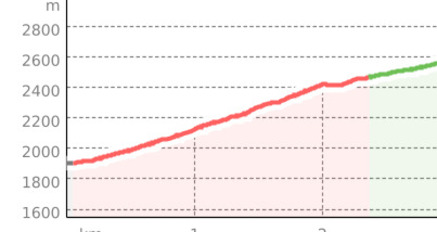
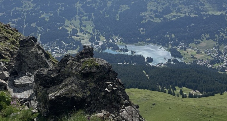
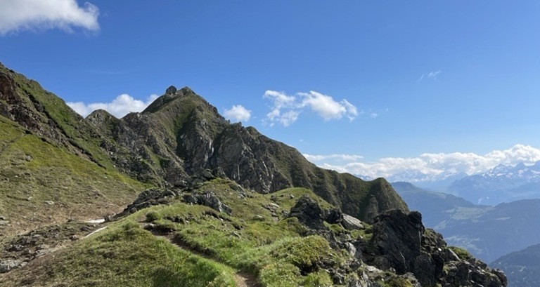
Beautiful hike to Parpaner Rothorn from the Scharmoin middle station to Parpaner Rothorn.
Best Season
Jan
Feb
Mär
Apr
Mai
Jun
Jul
Aug
Sep
Okt
Nov
Dez
Coordinates
46.742515, 9.573243
Details
Description
At the Scharmoin middle station, a path leads right to the mountain peak Foil Cotschen. Once you have crossed the edge, there are only about 300 meters of elevation left to the Rothorn summit.


Responsible for this content: Arosa Lenzerheide.

This website uses technology and content from the Outdooractive platform.