35.22 Walserweg Graubünden Stage 22: St. Antönien Platz - Carschinahütte


Show all 6 images

Details
Description
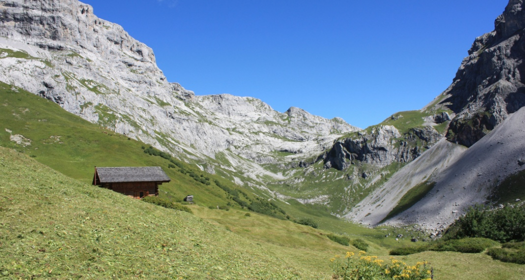
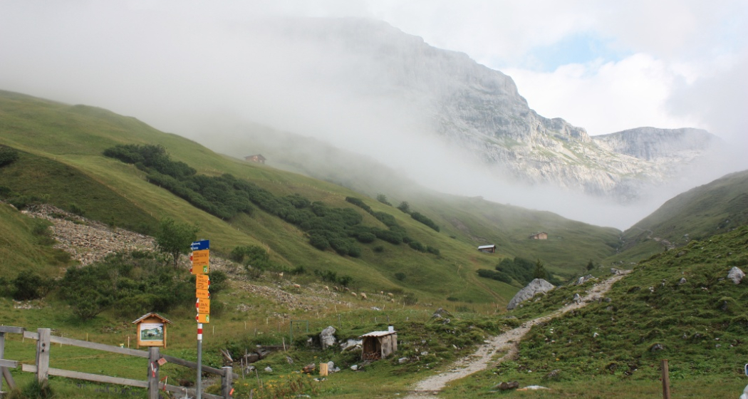
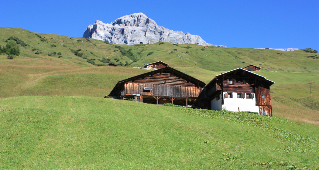
This stage is rather short compared to other stages on the Walserweg Graubünden. It takes "only" about 4 hours up to the Carschinahütte. But 900 meters of altitude are also overcome. In St. Antönien we follow the Schanielabach up to Partnun Stafel, which, like the Gafia Valley, was already settled by Walsers in the 14th century and inhabited all year round.
Geheimtipp
Individual hiking offers with luggage transport bookable at walserweg.ch
The Walserweg Graubünden with 23 stages was initiated by the geographer and author Irene Schuler and realized together with the cultural and language organization of the Walser Association Graubünden (Switzerland).
Ausrüstung
Directions
Responsible for this content: Graubünden Ferien.
This content has been translated automatically.

