43.02 Lü - S-charl, Jakobsweg Graubünden
Medium
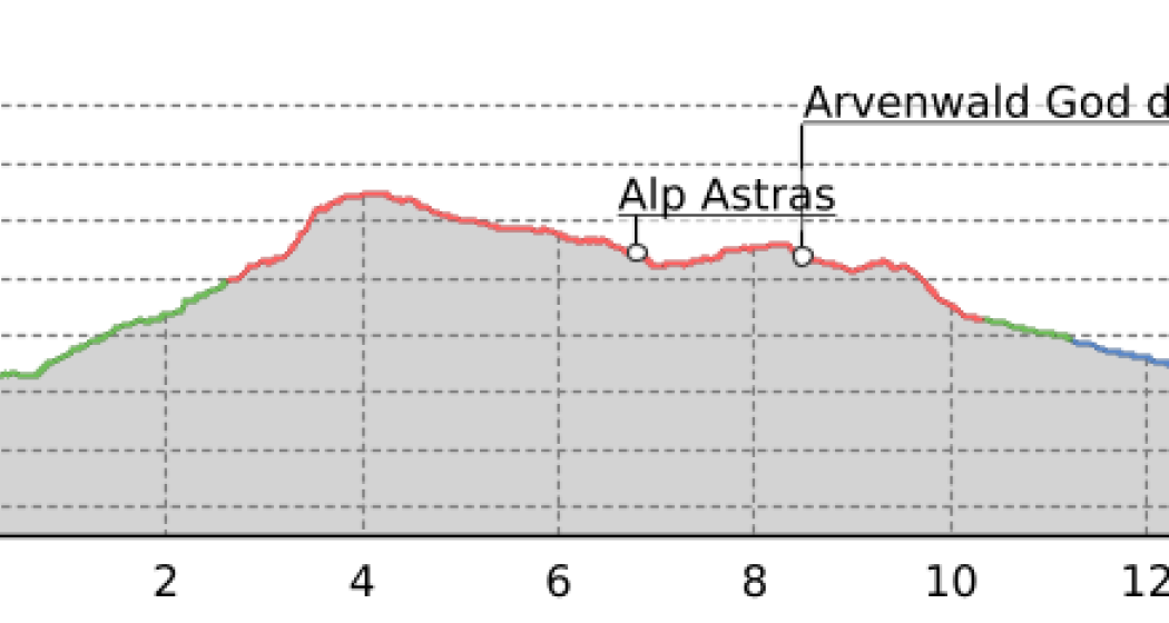
14 km
4:05 h
373 mhd
476 mhd


Best Season
Jan
Feb
Mär
Apr
Mai
Jun
Jul
Aug
Sep
Okt
Nov
Dez
Start
Lü
Destination
S-charl
Coordinates
46.621765, 10.370042
Details
Description
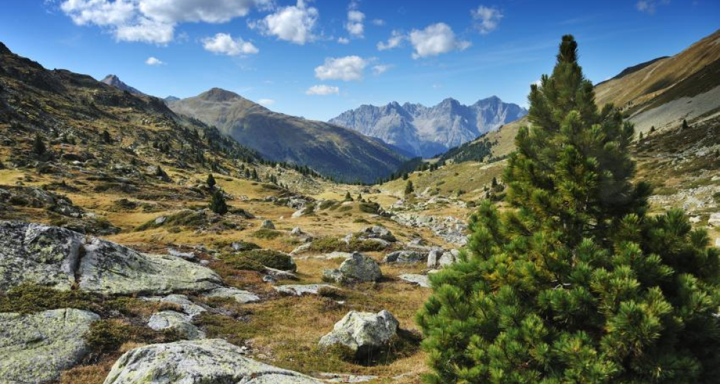
«Tamangur»-fairytale name for Europe’s highest-lying pine forest (Pinus cembra) - is today’s highlight. A steep climb over the old Costainerpass with pleasing descent past the Alp Astras (fresh products available) to the idyllic, small village of S-charl.
Geheimtipp
On high-altitude sections, snowfields are possible until the summer months.
Responsible for this content: Tourism Engadin Scuol Samnaun Val Müstair AG.
This content has been translated automatically.

This website uses technology and content from the Outdooractive platform.

