87 Via Engiadina: stage 5 Zuoz-Zernez


Show all 4 images

Details
Description
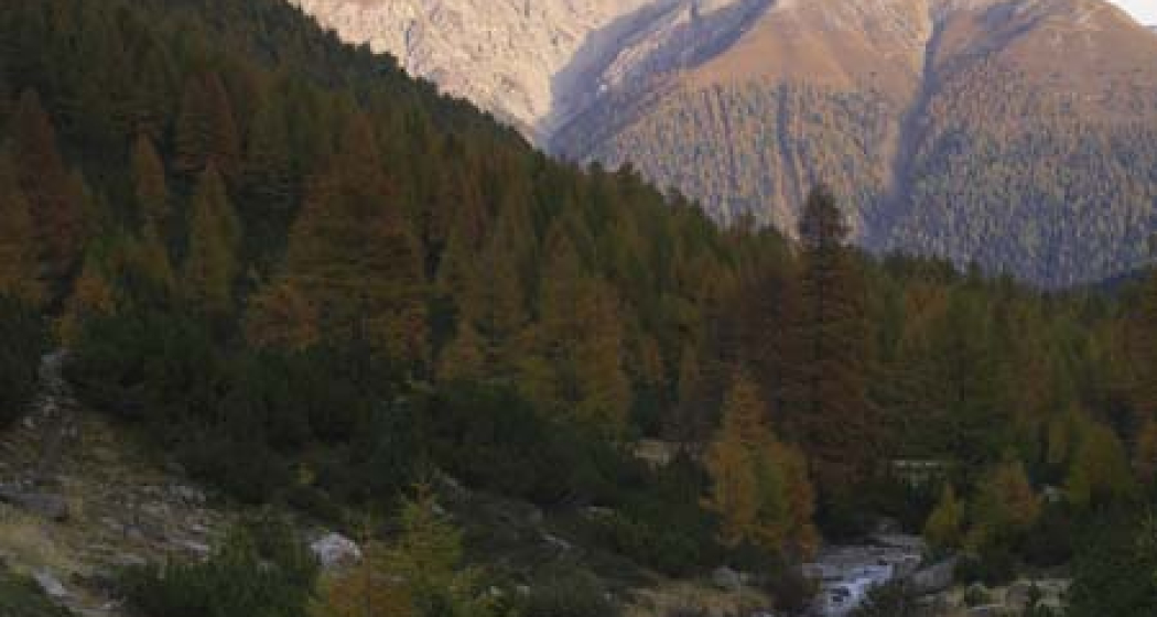
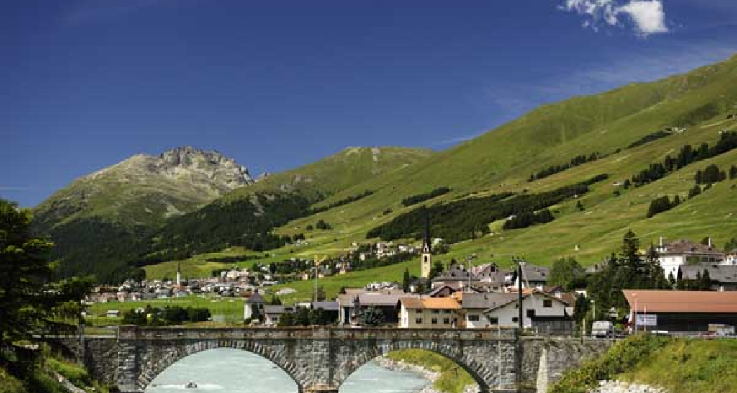
On a wide forest gravel path we first hike down to Chapella and then up again through the idyllic Swiss stone pine and larch forest to Val Punt Ota, where we cross the Punt Ota river - the border between the Upper and Lower Engadin. Along lush mountain meadows the Via Engiadina now runs past Brail via Prazet and down to Zernez.
More information
Engadin St. Moritz Tourismus AG
Via Maistra 1
CH-7500 St. Moritz
Phone: +41 81 830 00 01
E-mail: allegra@engadin.ch
Internet: www.engadin.ch
Booking
Eurotrek AG
Zürcherstrasse 42
CH-8103 Unterengstringen
Phone: +41 81 830 00 01
E-Mail: eurotrek@eurotrek.ch
Internet: www.eurotrek.ch/en/hiking-via-engiadina
Geheimtipp
Sicherheitshinweis
The tour was evaluated in favorable weather conditions. The current weather conditions and weather forecasts must be observed before the start of the tour.
Emergency call:
144 Emergency call, first aid
1414 Mountain Rescue REGA
112 International Emergency Call
Ausrüstung
Good footwear, rain and sun protection, water bottle, bandages.
Directions
Responsible for this content: Tourism Engadin Scuol Samnaun Val Müstair AG.
This content has been translated automatically.

This website uses technology and content from the Outdooractive platform.