Arosa Trail Run 21.1km - Half Marathon
Difficult
23.5 km
5:05 h
1226 mhd
1223 mhd
Show all 8 images
Quick info:
- 21.1 km
- 1‘197 +/-‐ altitude metres
- 1 mountain prize
- 2 summits / 2 lakes
Best Season
Jan
Feb
Mär
Apr
Mai
Jun
Jul
Aug
Sep
Okt
Nov
Dez
Start
Arosa
Destination
Arosa
Coordinates
46.782659, 9.682825
Details
Description
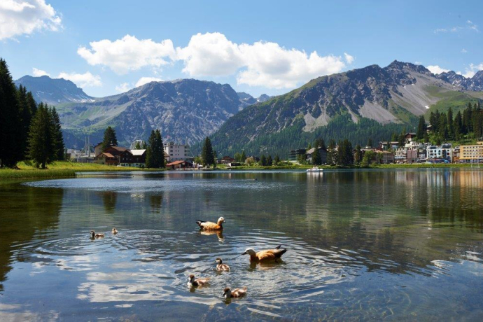
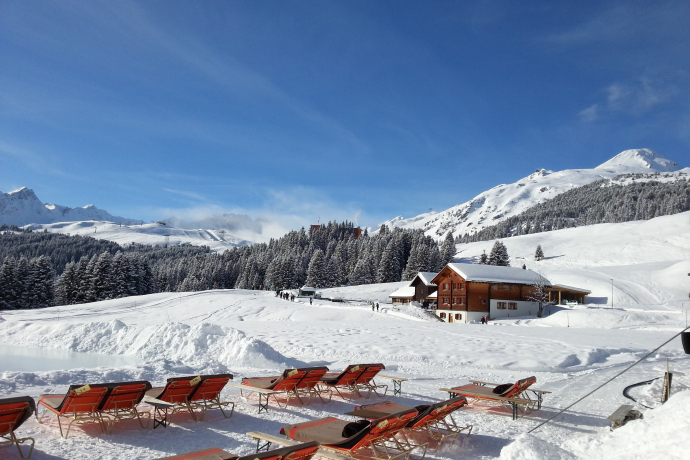
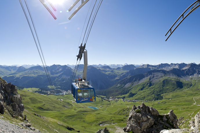
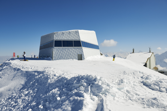
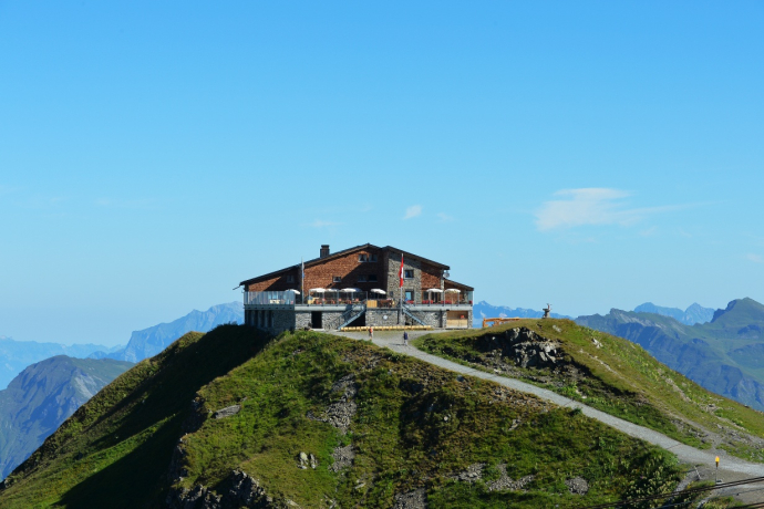
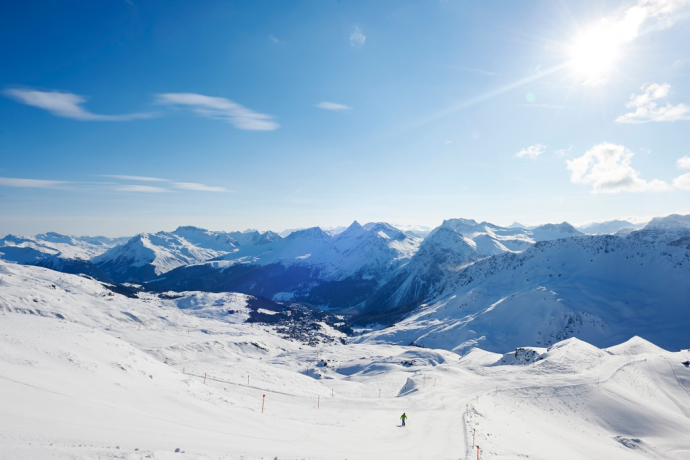
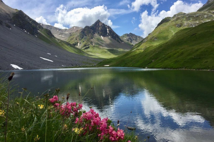
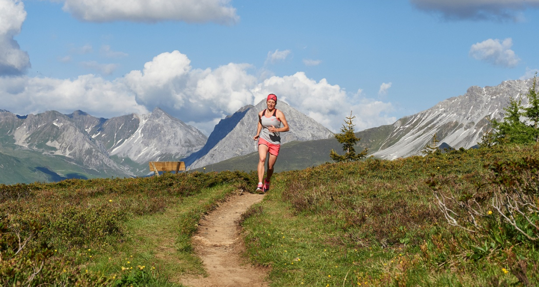
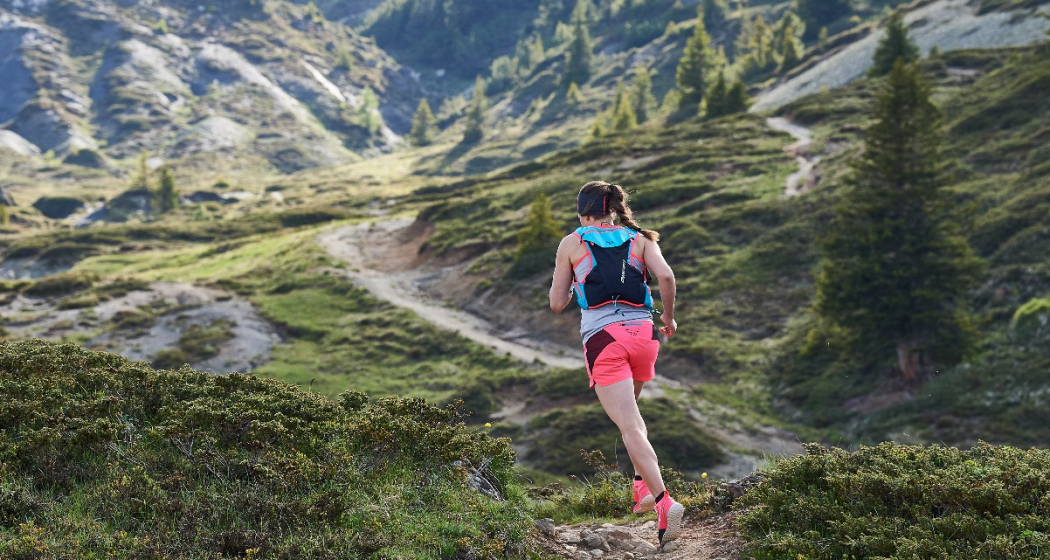
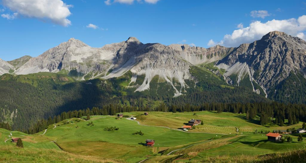
The Arosa Trail 22 (AT 22), over a half-marathon distance and 1,197m of altitude difference, starts in Arosa, leads via the Weisshorn summit to the Hörnli summit and along the beautiful Älplisee lake and the Schwellisee lake. Alternation and entertainment is provided by the fantastic Arosa mountain panorama.
Directions
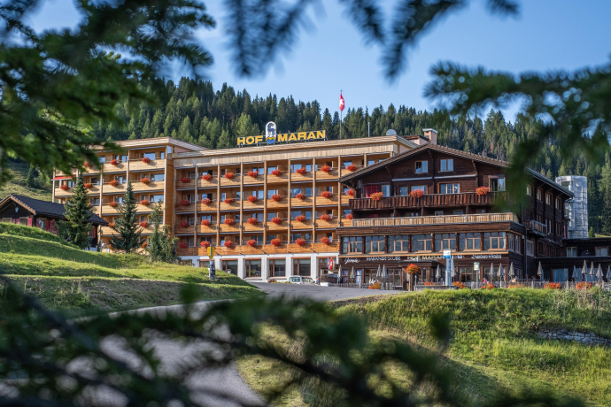
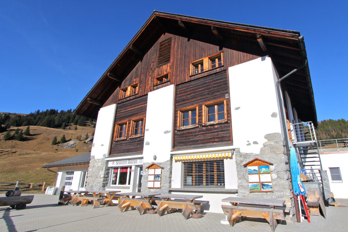
Arosa - Maran - Hauptichopf - Sattel hut - Weisshorn - Plattenhorn - Hörnli - Älplisee lake - Alpenblick - Arosa
Directions
Public Transport
The Rhaetian Railway leaves Chur to Arosa and back at hourly intervals. The sports ground Ochsenbühl is only a 3 minute walk from the train station, you may also take the local bus to get there.
Travel Information
Once you arrive in Chur, follow the sign posts Arosa. Turn left after the Sports and Conference Centre Arosa.
Parking
The car park Ochsenbühl is located just underneath the sports ground.
Responsible for this content: Arosa Lenzerheide.
This content has been translated automatically.

This website uses technology and content from the Outdooractive platform.
