
 Weather
  Webcams
  Attractions
  Gastronomy
  Tours
Tours  Events
 Arvigo - Alp de Stabveder - Landarenca
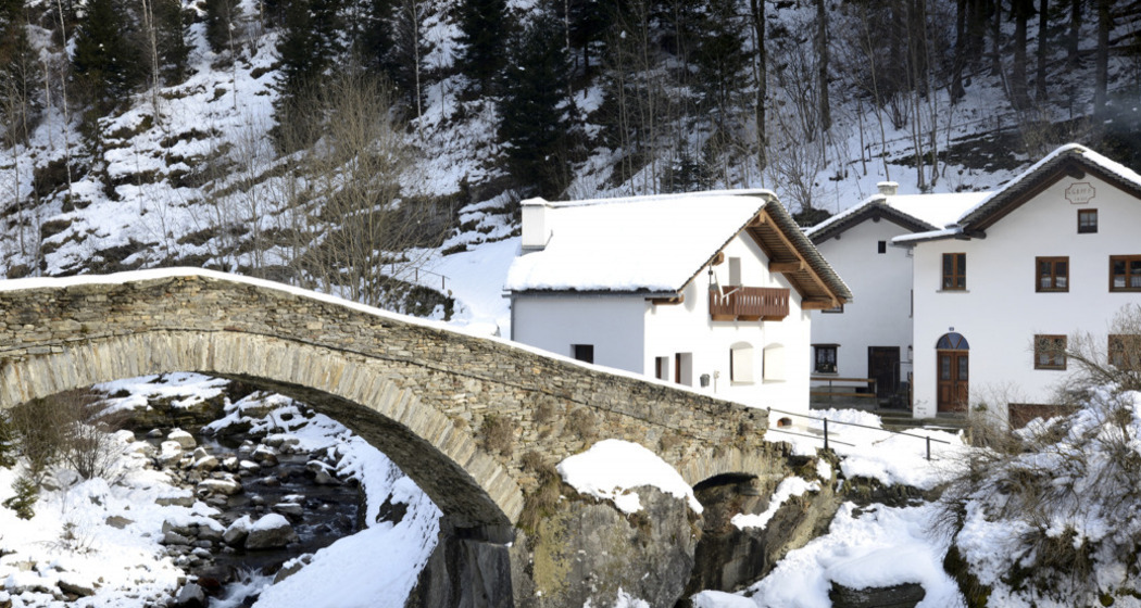
Show all 4 images
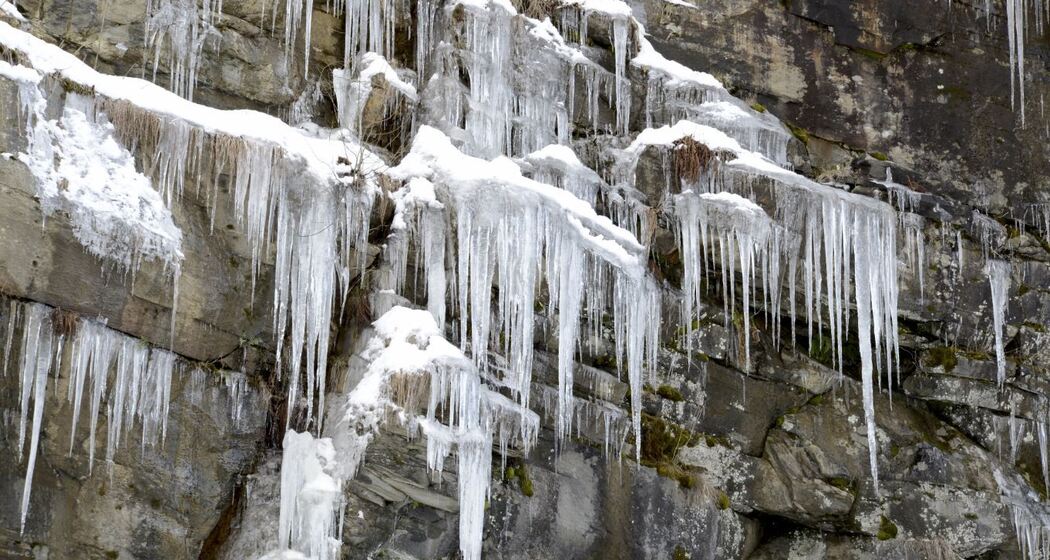
Snowshoeing trail on the right side of the Calanca Valley, which will take you from Arvigo to Landarenca passing through the Alp de Stabveder, among snowy alpine pastures and spectacular views.
Details
Description
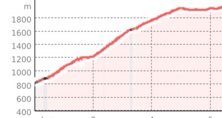
Starting from Arvigo (876 m), you face a challenging climb through snowy woods and open slopes up to the Alp de Stabveder, at 1948 m, from where you can enjoy a spectacular view of the surrounding mountains. From here, you continue with a slight descent towards Landarenca (1252 m), a charming village located on a terrace on the right side of the Calanca Valley, accessible only on foot or by cable car.
Directions
Arvigo - Alp de Stabveder - Landarenca


Responsible for this content: Ente Turistico Regionale del Moesano (ETRM).

This website uses technology and content from the Outdooractive platform.