
 Weather
  Webcams
  Attractions
  Gastronomy
  Tours
Tours  Events
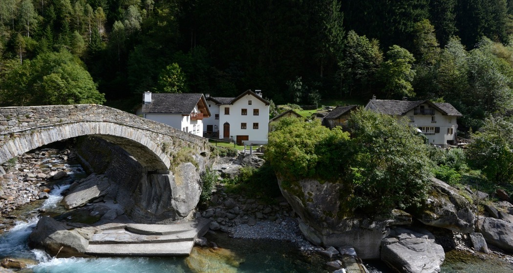
 Arvigo - Alp de Stabveder - Pizzo di Claro
Open
Medium
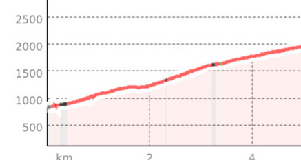
7.8 km
4:15 h
1899 mhd
0 mhd
Show all 4 images
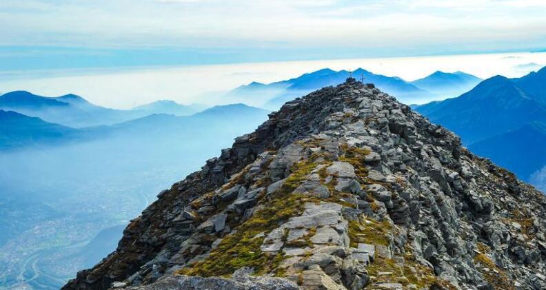
Reach the Pizzo di Claro starting from the Val Calanca.
Best Season
Jan
Feb
Mär
Apr
Mai
Jun
Jul
Aug
Sep
Okt
Nov
Dez
Start
Arvigo
Destination
Pizzo di Claro
Coordinates
46.300764, 9.114894
Details
Description
The route is short in terms of kilometers but challenging in terms of altitude difference, as it starts from an altitude of 876 m above sea level and reaches 2,727 m above sea level.
The panorama once you reach the summit is magnificent and offers a breathtaking view of the Val Calanca, as well as the Leventina.
Safety Note
Flock protection dogs: consult the updated map before your excursion
https://www.protectiondestroupeaux.ch/it/map/


Responsible for this content: Ente Turistico Regionale del Moesano (ETRM).
This content has been translated automatically.

This website uses technology and content from the Outdooractive platform.