Bike Marathon Lumnezia-Obersaxen (old course)
Difficult
40.9 km
4:30 h
1640 mhd
1640 mhd
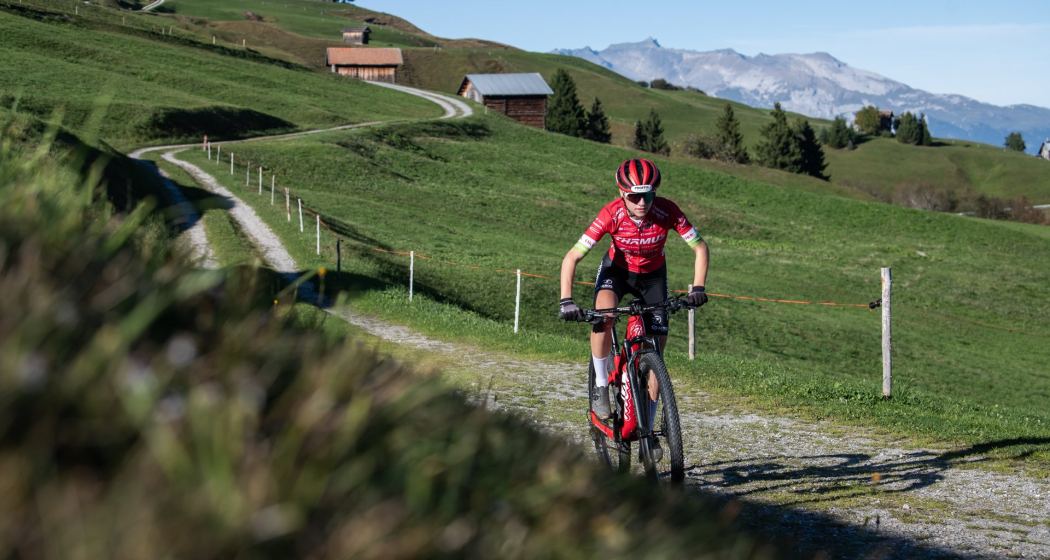
Nur wer schnell ist, ist schnell...: Chiara Solèr
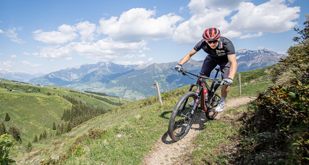
Vital Albin auf der Marathon Strecke

Show all 10 images

Ursin Spescha
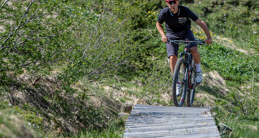
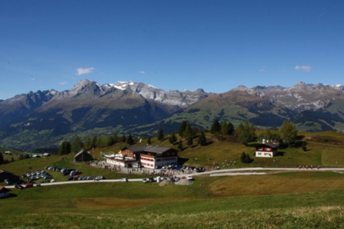
The bike marathon route not only offers a sporting challenge on 41 kilometers and 1640 meters of altitude, but it is also varied with many trails in a beautiful mountain landscape.

ATTENTION: The route is the old marathon route. The signs (217) were removed in summer 2022. However, the route can and may still be ridden. Please download the GPX to your device.

The new official route is published on the organizer's website.

New race route

Technique /6
Fitness 5/6
Highest Point  2079 m
Lowest Point  1405 m
Best Season
Jan
Feb
Mär
Apr
Mai
Jun
Jul
Aug
Sep
Okt
Nov
Dez
Start
Lumbrein
Destination
Lumbrein
Coordinates
46.68331, 9.135671

Details

Description

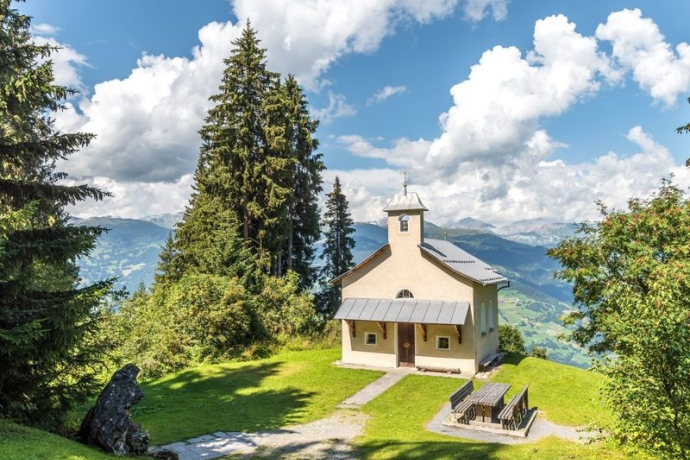
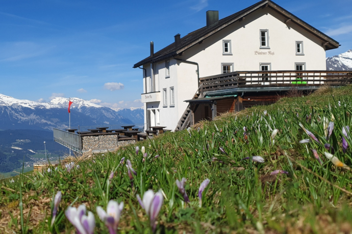
The circular tour leads from Lumbrein in a long ascent to Alp Sezner and Alp Nova. This is followed by a brisk descent through the alpine landscape of Obersaxen down to Wali. Shortly after Wali, the short ascent to Plampord begins, followed by a short descent to Undermatt. In Undermatt, the ascent begins again up to Cuolm Sura and on to the Bündner Rigi, where you have a magnificent view of the Surselva. You return to Val Lumnezia through the Sogn Carli forest. First you climb up to Alp Sogn Carli and shortly afterwards the beautiful descent begins via Triel to just above the Davos Munts bathing lake. This is where the last sweat-inducing ascent begins, which is then rewarded with a beautiful singletrail descent to Lumbrein.

ATTENTION: Route 217 is the old marathon route. The signs were removed in summer 2022. However, the route can and may still be ridden. Simply download the GPX to your device.

The new official route is published on the organizer's website.

Geheimtipp

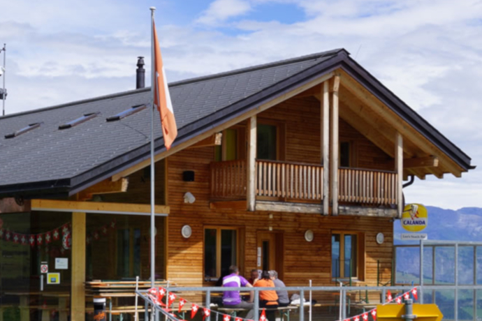
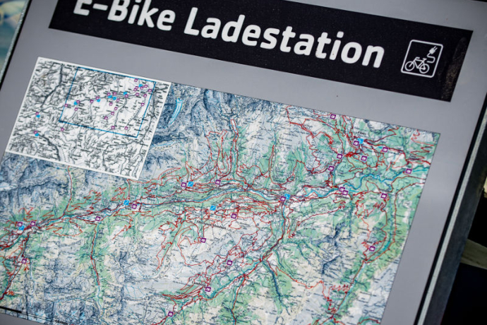
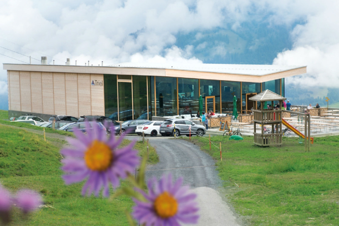
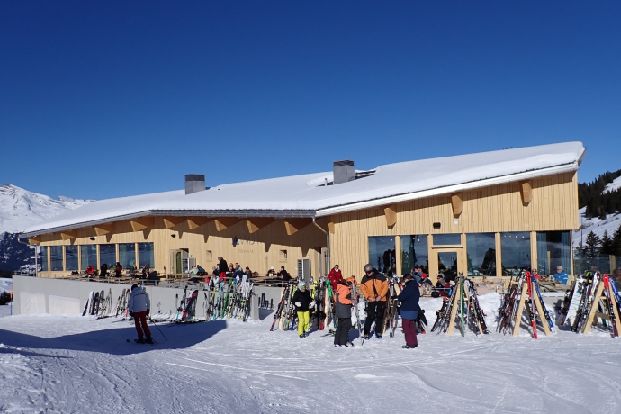
Refreshment stops on the mountain: Wali mountain restaurant, Leo's Snackbar, Cuolm Sura mountain restaurant, Bündner Rigi mountain restaurant, Triel mountain restaurant

Sicherheitshinweis

The tour should not be undertaken in uncertain weather conditions. Weather changes are frequent in the mountains. If a rain front or similar is approaching during the hike, you should turn back in good time.

144 Emergency call, first aid

1414 Mountain rescue REGA

112 International emergency call

Ausrüstung

Mountain bike, helmet, gloves, bike shoes, goggles, rain and sun protection, drink, repair kit, first aid kit

Directions

Old route (as listed here):

Lumbrein - Val Mulin - Alp Staviala Vedra - Patiarm - Alp Sezner - Alp Nova - Alp Nall - Alp Stavonas Sut - Sassli - Wali - Plampord - Under Matt - Gischniga - Cuolm Sura - Bündner Rigi - Sogn Carli - Alp Sogn Carli - Triel - Crusch - Cresta - Uaul da Vattiz - Ligiazun - Rumassal - Runchiola - Uaul da Cuschaias - Lumbrein

NEW route:

Lumbrein - Val da Mulin - Staviala Vedra - Gragatauna - Alp Sezner - Crests - Patiarm - Murtès - Triel - Bual Dadens - Morissen - Vella - Davos Munts - Dimaz - Lumbrein.

38 kilometres, 2070 metres altitude difference

Directions

Public Transport

From the Grisons cantonal capital of Chur, the Rhaetian Railway takes just 36 minutes through the spectacular Rhine Gorge to Ilanz station. Then take the Postbus line 90.441 Ilanz - Vrin to the Lumbrein stop

www.sbb.ch

Anreise Information

On the A13 to Reichenau, then on the main road 19 via Flims to Ilanz and then via Vella to Lumbrein

Parking

Parking is available at the school building in Lumbrein

Responsible for this content: Surselva Tourism.
This content has been translated automatically.

Outdooractive Logo

This website uses technology and content from the Outdooractive platform.