Around Caischavedra


Show all 5 images

Sunny short tour in Caischavedra (signposted)
Details
Description
A snowshoe hike for the Patschifics - the comfortable ones!
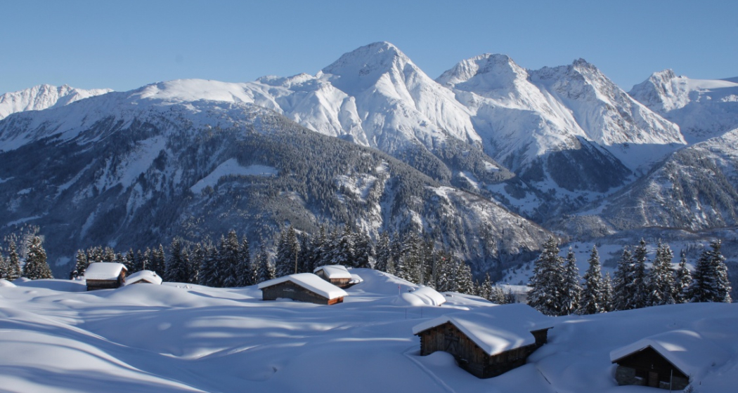
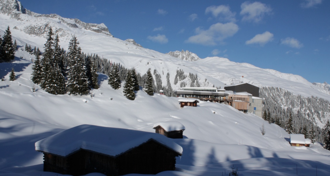
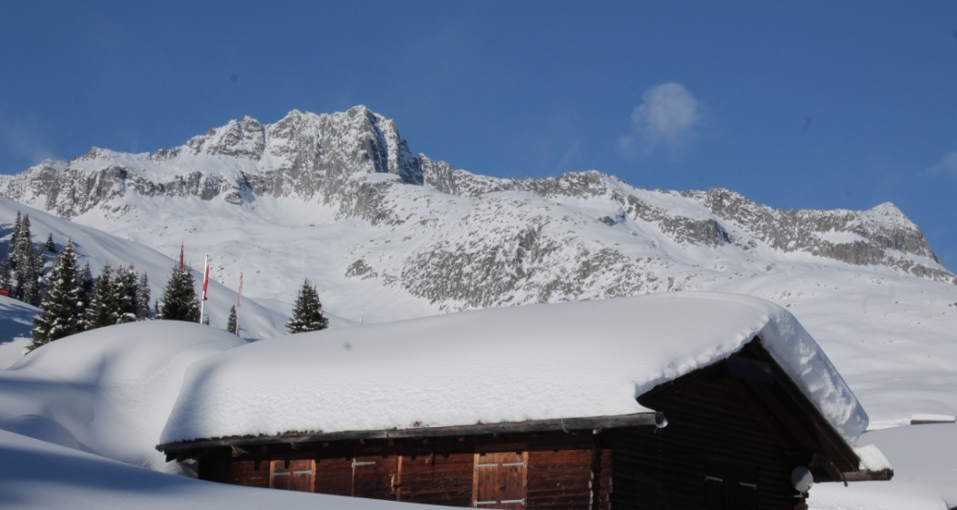
We circle the Caischavedra mountain station in a southerly direction and hike past picturesque snow-covered Maiensässen, across open terrain or along the edge of the forest. There are always places to sit along the way so we can take our time. We try to remember the names of the mountain peaks, Piz Muraun, Piz Caziraun, Piz Caschleglia, Piz Uffier or Piz Medel. We might consider what Piz is plural. We come to the conclusion that it probably can't be pizzas!
We end the tour back at the mountain station, where we treat ourselves to coffee and a delicious piece of cake.
Sicherheitshinweis
Safety equipment is not required
Directions
We follow the markings below the mountain station to the Maiensässen.
Directions
Public Transport
Anreise Information
Parking
Responsible for this content: Sedrun Disentis Tourism SA.
This content has been translated automatically.

This website uses technology and content from the Outdooractive platform.
