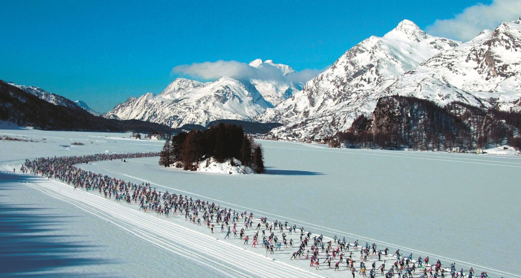
Engadin Skimarathon (SwissMobil route 265)
Medium
44.3 km
5:30 h
124 mhd
266 mhd


Show all 4 images

Train on the original course of the Engadin Skimarathon.
Best Season
Jan
Feb
Mär
Apr
Mai
Jun
Jul
Aug
Sep
Okt
Nov
Dez
Start
Maloja, Kulm
Destination
S-chanf Flablager
Coordinates
46.405907, 9.701958
Details
Description
This original marathon course is the perfect training ground for getting fit for the big fun run, which is held every year on the second weekend in March. The 42 km are easily manageable on this course across the frozen lakes which is almost entirely level and flat. The track begins in Maloja, crosses the Engadin's frozen lakes (Sils, Silvaplana and Champfèr) and continues into the Forest of Staz to Pontresina. From there the track follows the valley floor and passes the airfield before continuing on to Bever and S-chanf.
More information
Engadin Tourismus AG
Via Maistra 1
CH-7500 St. Moritz
Phone: +41 81 830 00 01
E-mail: allegra@engadin.ch
Internet: www.engadin.ch
Engadin Skimarathon
Phone: +41 81 851 60 60
Internet: www.engadin-skimarathon.ch
Cross-country ski-run report: www.engadin.ch/en/slopes-tracks/cross-country-trails/
Geheimtipp
The Marathon route can also be completed in legs.
Sicherheitshinweis
Never use trails over the frozen lakes until they are officially prepared and marked.
Directions
Maloja - Lej da Segl - Segl/Sils - Lej da Silvaplana - Surlej - St.Moritz - Lej da Staz - Pontresina - Samedan - Bever - La Punt Chamues - Zuoz - S-chanf
Directions
Public Transport
Engadin Bus line 2 or PostBus direction Bergell/Chiavenna
Responsible for this content: Engadin Tourismus AG.

This website uses technology and content from the Outdooractive platform.


