Stage 4: Silver firs – Sardona hut, 73.04 Sardona World Heritage Trail


Details
Description
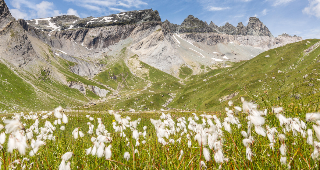
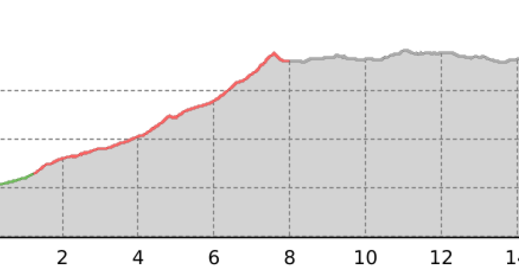
When you enter the Lavtina Valley, you also enter the Swiss hunting ban area Graue Hörner, which was founded in 1901. After ibexes were extinct in Switzerland in 1809, ibexes were released here for the first time in 1911. Once in the valley basin, the impressive waterfall arena of Batöni opens up, where the four waterfalls plunge over the steep steps. This is where the steep ascent to the Heidel Pass begins with an excellent view of the razor-sharp line of the Glarus main thrust on the Ringelspitz and the Sardona-Segnes group. With a bit of luck you will spot a bearded vulture released into the wild in the Calfeisental. The view from the idyllic Plattenseeli is particularly spectacular.
Further information and links:
73 Sardona World Heritage Trail
Geheimtipp
Sicherheitshinweis
Attention: On high-altitude sections, snowfields are possible until the summer months.
On warm early summer days, the streams can swell on the way to the Sardona hut, making it difficult to cross. Therefore, you should not be late on these days on this demanding stage.
Responsible for this content: Graubünden Ferien.
This content has been translated automatically.