Fitness Train Maloja
Medium
2.2 km
0:40 h
56 mhd
55 mhd


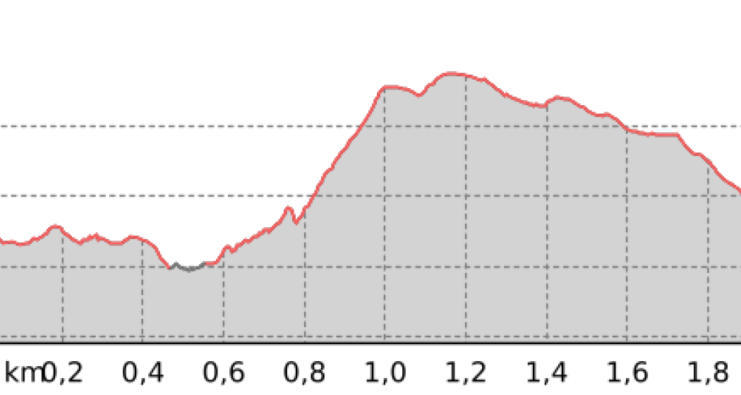
Fitness Trail at Lake Sils. Length 2.2 km, difference in altitude about 50 metres.
Best Season
Jan
Feb
Mär
Apr
Mai
Jun
Jul
Aug
Sep
Okt
Nov
Dez
Start
Maloja
Destination
Maloja
Coordinates
46.406294, 9.705022
Details
Description
There are more than 500 Vita Parcours in Switzerland. They offer an uncomplicated opportunity for sport in the outdoors. The exercise trails include 15 stations with a total of 43 exercises. At each workout station, there is a blue board showing the exercises. "Yellow" activities enhance flexibility and mobility, "red" activities enhance strength and "turquoise" activities enhance endurance.
Hidden Gem
Due to the renovation of some stations, the Vita Parcour will be closed until spring 2025.
Safety Note
Depending on the weather, the trail can be very icy in the spring.
Directions
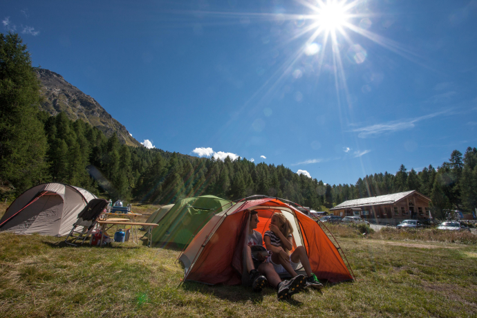
The Vita Parcour starts on the lake path from Maloja to Sils. The trail runs slightly above the gravel road. At Plan Cunchetta, Maloja Camping, the trail turns south and makes a loop slightly uphill before returning to the starting point past Cresta.
Directions
Public Transport
Travel Information
Responsible for this content: Bregaglia Engadin Turismo.
This content has been translated automatically.

This website uses technology and content from the Outdooractive platform.
