From Schanfigg over into Prättigau (Langwies - Conters)
Show all 6 images
Details
Description
A terribly romantic path through the gorge along the brook leads you uphill.Soon you can see an enormous waterfall. After about an hour the gorge broadens and offers inviting places to have a picnic. Later on you walk up steeply to the gravel road which, in winter, is used as a ski-run. Rising steadily you reach the small ancient mountain-village' Strassberg' and the mountain lodge 'Strassberg' where they also offer accommodation.
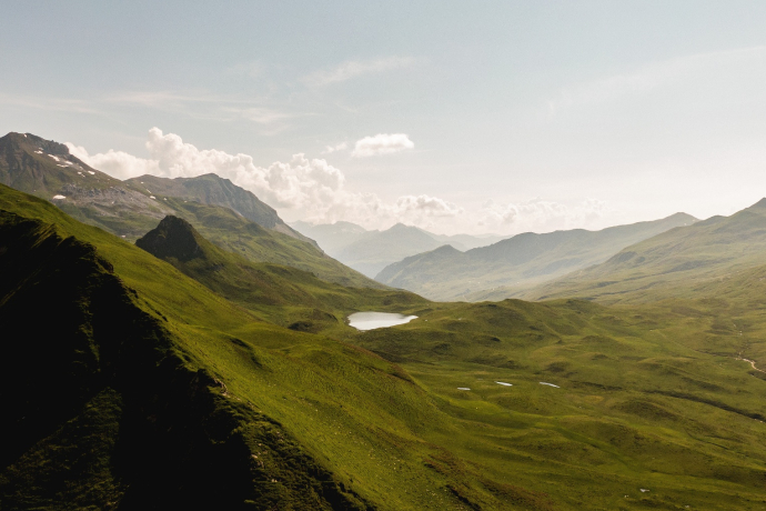
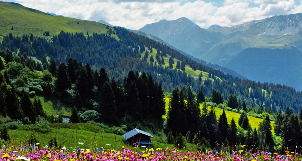
You walk on in the direction of 'Durannapass'. Before and after the top of the pass the trail leads through marshy soil. There are meadows full of gentians. On the top of Durannapass it is worth to make a detour to the idyllic lake 'Grünsee'. The top of the pass is a real crossroad: to the left you get to the 'Strassberger Fürggli' and further to 'Fideriser Heubergen; to the right you get to the region of Parsenn and to 'Gotschnagrat' (cable railway to Klosters).
Walking straight forward you get to 'Conters/Küblis'. In front of the alpine lodge 'Duranna Obersäss' you walk downhill on the gravel road. A bit further down of 'Untersäss' 1868 m where you see the brook you follow the signpost 'Conterser Schwendi/Conters' to the right (the road to Conters over 'Plandagorz' is less attractive but the old footpath across forest and moor is not maintained any more.) You go past several alpine sheds like 'Conterser Schwendi', 'Rongg', 'Stäfischwendi' and 'Wisli' and finally along the brook 'Wissbach' down to Coners.
Directions
Directions
Public Transport
Travel Information
Parking
Responsible for this content: Prättigau Marketing.
This content has been translated automatically.

This website uses technology and content from the Outdooractive platform.
