Funi Line
Show all 7 images
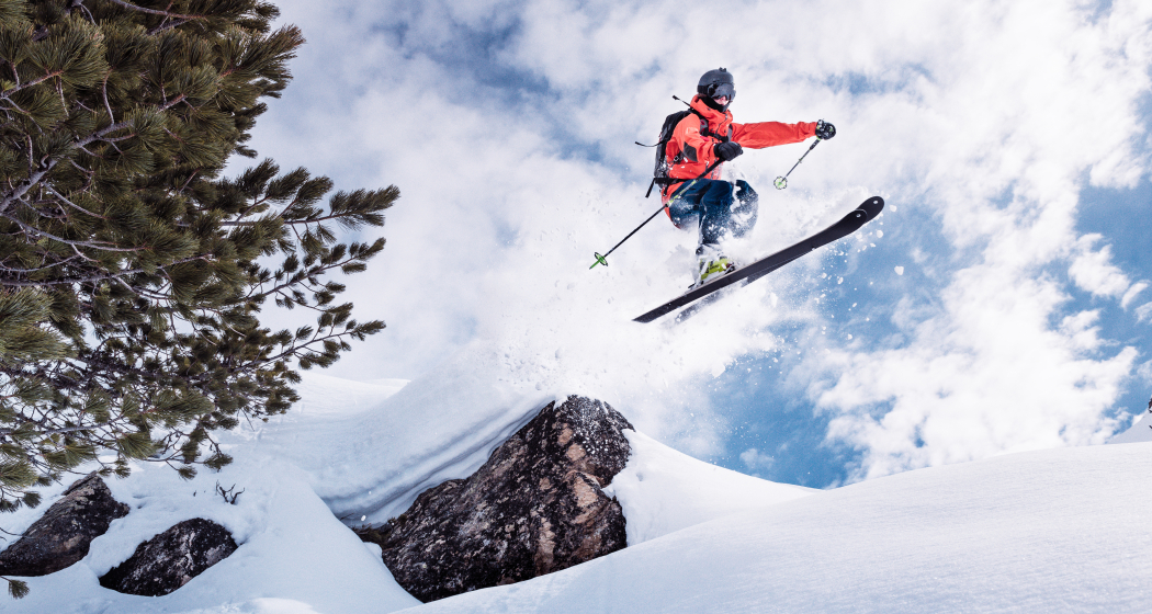
Details
Description
Hidden Gem
Safety Note
Those who go off-piste act exclusively on their own responsibility and are outside the area of liability of the mountain railways. The yellow marked freeride slopes are secured but not groomed and not controlled. They can only be used when they are open. We recommend that you check the open slopes, the SLF Avalanche Bulletin and the weather forecast. Any liability is excluded.
This freeride route is to be understood as a general indication of direction. Depending on the conditions, downhill routes must be assessed and adjusted by the rider. For the correctness, completeness and topicality of the data no guarantee can be taken over.
The practice of freeriding in open terrain is at one's own risk. Every freerider and tourer is strongly advised to prepare thoroughly, plan routes and obtain up-to-date information on the snow and avalanche situation. Avalanche situation report and snow information: www.slf.ch
No liability is accepted for accidents resulting from the use of published information and route details.
In case of doubt, it is strongly recommended to be accompanied by an experienced mountain guide: www.bergfuehrer-davosklosters.ch
Equipment
We recommend the avalanche training centre before departure.
On the Jakobshorn near the Fuxägufer mountain station, the correct use of the avalanche transceiver (LVS) can be practised under realistic conditions. The training area consists of a zone of 100 x 100 m in moderately steep terrain and thus represents a realistic avalanche cone. The use of the training area is free of charge. You must take your own avalanche transceiver and avalanche probe with you.
Directions
Part 1: Jakobshorn - Mühle (the 1'000 meters of altitude difference)
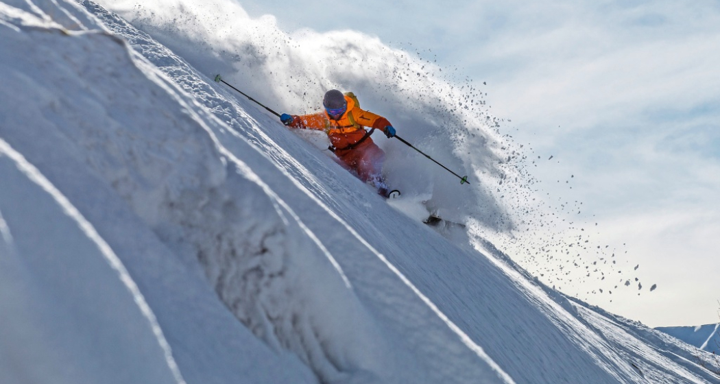
The adventure starts on the Jakobshorn. Directly behind the Jatzhütte, the place to be, when it comes to après-ski, the path branches off to the "Mühli" descent. First, the slope offers an unwooded line in powder snow. Early risers are rewarded here. We recommend the first train ride at 8.15 am. From Mühli, hourly bus no. 8 takes you to Davos Platz, where you change to bus no. 1 in the direction of Glaris at Spital station. If snow conditions are good, you can walk to Frauenkirch and take bus no. 1 directly to the next stop, Rinerhorn. More information at www.vbd.ch. For the bus from the side valleys of Mühli-Davos Platz and Teufi branch Büelen you have to pay a tariff. The rest of the bus network is included in the ski pass.
Part 2: Rinerhorn - Brand (the insider tip)
The Brand black run leads from the Nülli ski lift to the Rinerhorn valley station and, with a length of 7.8 km, is the longest and most difficult run with a difference in altitude of over 1000 metres. It is considered an insider tip, as it is unprepared, especially for fresh snow, and offers a beautiful descent over the Leidbachtal with a view of the Leidbachhorn. Alternatively you can use the yellow freeride piste no. 1 from the Juonli lift. The bus takes you back to Jakobshorn.
Part 3: Jakobshorn - Teufi (the lookout run)
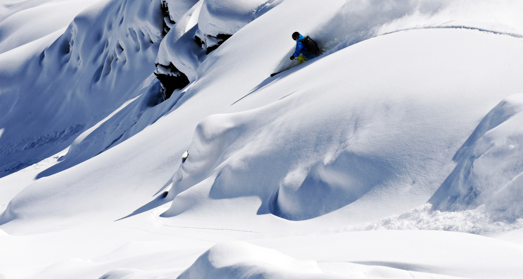
The slope from Jakobshorn to Teufi in the romantic Dischma valley makes every freerider's heart beat faster. The line leads through a varied terrain, which should have powder snow throughout the winter thanks to the optimal northeast exposure. From the destination Teufi, bus no. 13 takes you back to Davos Dorf to the Parsennbahn.
Part 4: Parsenn - Weissfluhgipfel - Capricorn - Hauptertäli - Schifer Mittelstation - Höhenweg - Davos Dorf (the grand finale)
The trail leads you to the Weissfluh summit from where, in good weather, you can enjoy an incredible panoramic view at 2,844 metres above sea level. You drive down the steep hilltop into the "Hauptertäli". With the drag lift and an intermediate run to the middle station Schifer you go up to the Weissfluhjoch. With the new unprepared piste no. 10 you reach the valley descent to Davos Dorf, where the freeride adventure ends. A well-deserved drink awaits you in the Montana Bar in Davos Dorf.
Directions
Public Transport
We recommend:
For the bus ride from the side valleys Sertig and Dischma (subject to a fee), we recommend that you check the timetable of the Davos public transport company. You can download it online at www.vbd.ch or via the SBB app.Alternatively, a taxi is worthwhile as an alternative if you are a small group.
If you are a small group, a taxi is also worthwhile. Order taxi at +41 (0)81 410 11 11 or +41 (0)81 420 20 20.
Travel Information
Parking
Responsible for this content: Destination Davos Klosters.
This content has been translated automatically.

This website uses technology and content from the Outdooractive platform.
