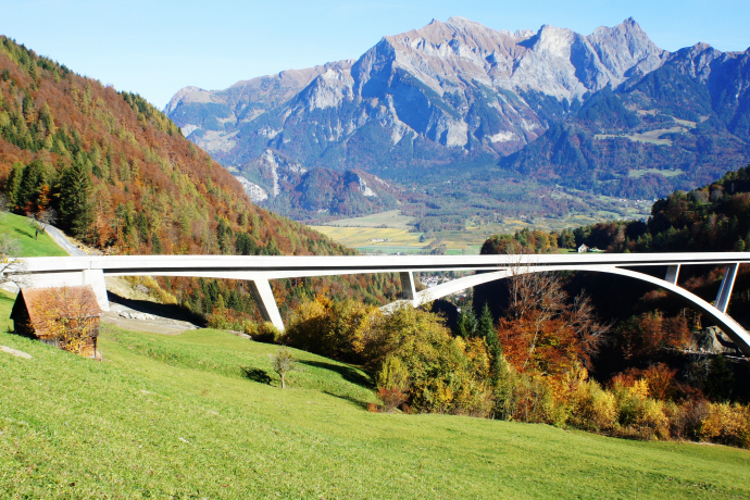
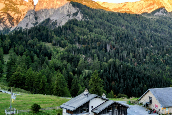
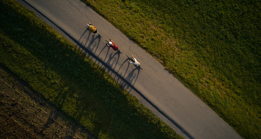
Gravel Tour in die Bündner Herrschaft und über den Kunkelspass.
Show all 5 images
Details
Description
The road, which has little traffic, climbs leisurely and thus quite pleasantly overcomes the metres in altitude to the village. Here the high valley begins, where only a few cars are still to be found. Surrounded by the Grisons mountains, the route continues up to the top of the pass. Passing the toll booth, you first reach the Eggwald inn and shortly before the pass summit the mountain inn. From the mountain inn, the pass road climbs and becomes another test of strength until the tunnel at 1,406 metres. Once you reach the top, the breathtaking view of the surrounding mountains and valleys from the Rufichopf vantage point compensates for the exertion.
The descent from the Kunkelspass is not without danger, so watch out for possible bumps and be careful to keep control of your bike.
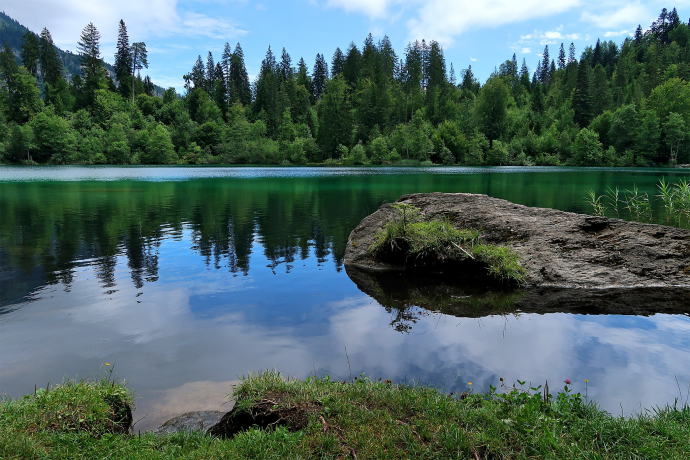
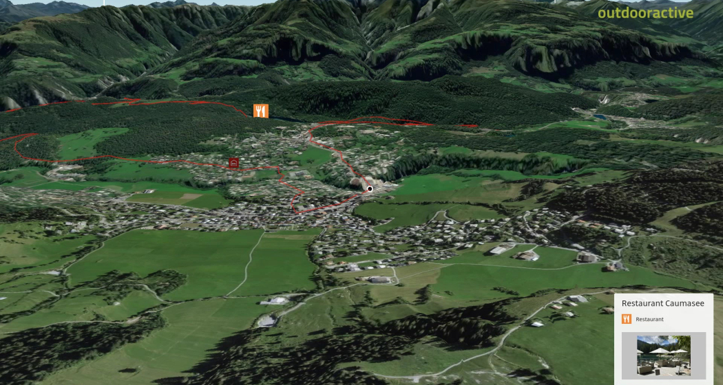
Once you arrive in Tamins, the route continues for a short stretch on the busy cantonal road, which has a cycle lane until just before Trin. Even during the day, we recommend riding here with lights on and not with children. Alternatively, this section can also be covered by post bus. From Trin the route goes through the Flims forest up to Flims, where you can recover after the strenuous tour with a refreshing swim in Lake Cresta and enjoy the sun. The tour finally ends in Flims, where you can round off the gravel bike tour in one of the cosy restaurants or cafés and recover from the efforts of the tour.
Hidden Gem
For the Tamin - Trin section, change briefly to the post bus and avoid the busy road.
Safety Note
Helmet, light and tools belong in the luggage.
Directions
Flims - Trin - Tamins - Chur - Bad Ragaz - Vättis - Kunkelspass - Tamins - Trin - Crestasee - Flims
Directions
Public Transport
By bus from Chur in the direction of Flims / Laax.
From Flims with the public Flims Laax Falera Shuttle. Station: Flims Bergbahnen.
Travel Information
By car: Take the A13 motorway from Zurich, in the direction of Flims.
Parking
Stenna multi-storey car park
Responsible for this content: Flims Laax Falera Management Ltd..
This content has been translated automatically.

This website uses technology and content from the Outdooractive platform.

