Greina in 2 Tagen vom Tessin nach Graubünden: Luzzone - Val Sumvitg
Show all 12 images
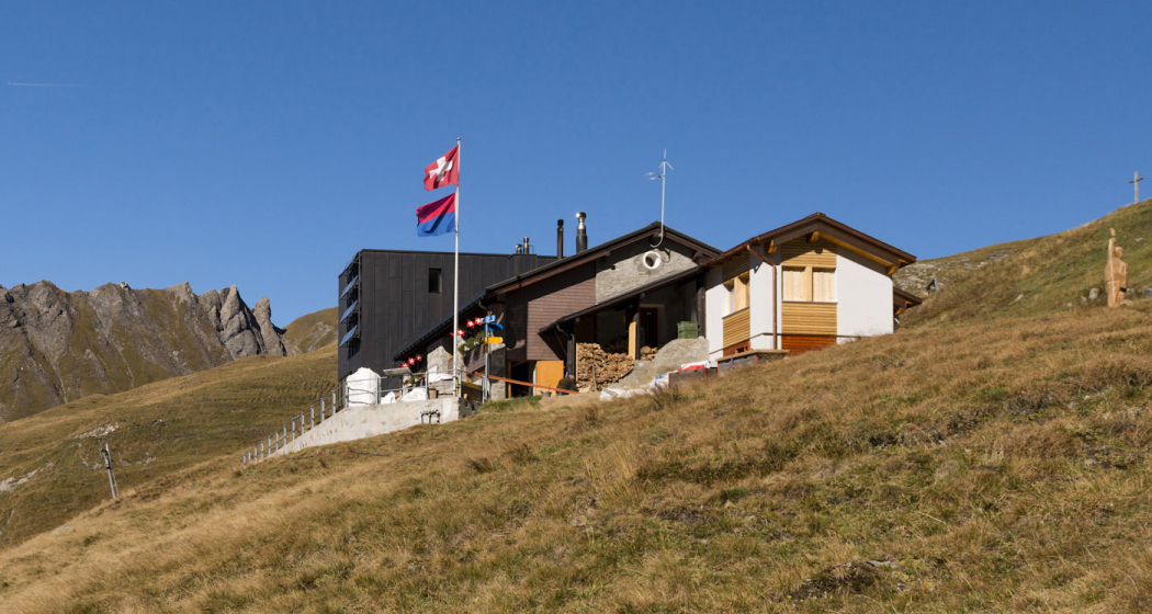
An eventful hike across the well-known Greina plateau. The Lago di Luzzone reservoir in Ticino with the Capanna Motterascio characterize the first day of hiking. The route continues over the Greina to a steep descent into the Val Sumvitg.
Details
Description
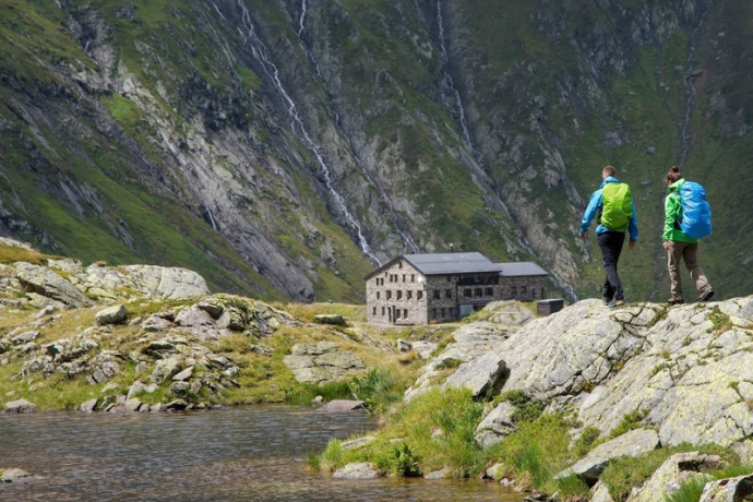
At the "Diga di Luzzone" terminus of the Bus alpin, the tour starts on the shores of the imposingly situated Lago di Luzzone reservoir. After the first three-quarters of an hour of hiking, the warm-up is over and the path climbs steeply up to the Capanna Motterascio. This is a whole 600 meters above the water level of the lake. But now you can really enjoy yourself in the hut.
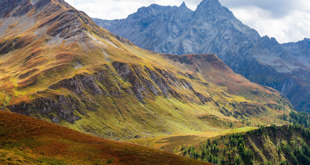
The next day, the tour starts on the mountain path to the Crap la Crusch pass crossing. This can be reached in just under an hour. Now, for the first time, you can see the impressive Greina from above with its meandering streams and barren rock formations. A little later, before the foothills of Muot la Greina, the hiking trail leads to the Terri Hut. Would you like a hot soup or a sweet cake? You can certainly use the energy boost. After the hut, the steep mountain path, down into the Val Sumvitg, requires a few calories. Some caution is required in some places on this section.
At the small reservoir in front of Runcahez, the alpine bus you have reserved in advance is already waiting and takes guests to Sumvitg-Cumpadials to the Rhb train station.
Attention: Road closure in Val Sumvitg
Due to a landslide in the section near Acla Mulin, the road from Acla Mulin has been closed to all traffic. The Alpin Val Sumvitg bus runs from / to the replacement stop (suspension bridge - Acla Mulin). The hiking time is thus extended by about 40 minutes in the direction of Greina. For pedestrians, access to the rear Val Sumvitg, as well as to the Greina plateau, is guaranteed at all times via the Acla Mulin suspension bridge.
The duration of the closure is currently unknown.
There is also a restaurant at the Surrein, Val stop. Please note that parking is limited on site.
Hidden Gem
The steep ascents and descents to and from the huts require some stamina and strength. However, they are easy to do for sure-footed and normally trained people.
Safety Note
In uncertain weather conditions, the tour should not be started. Weather changes in the mountains are frequent. If a rain front or similar comes up during the hike, you should turn back in time.
Equipment
Good hiking boots with good tread, weather-appropriate clothing (rain jacket), first aid kit, drink, food, ev. Hiking poles. Utensils for the overnight stay incl. hut sleeping bag.
Directions
Diga di Luzzone - Garzott - Cap. Motterascio - Accommodation - Crap la Crusch - Greina - Rifugio Terrinz - Runcahez
Directions
Public Transport
From Sumvitg-Cumpadials by train, post bus, bus line and bus alpine to the Luzzone reservoir. For details see "Info and Links"
Travel Information
From Ilanz or Disentis, take the main road to Sumvitg-Cumpadials train station.
Parking
Sumvitg-Cumpadials Station
Responsible for this content: Surselva Tourism.
This content has been translated automatically.

This website uses technology and content from the Outdooractive platform.
