Heinzenberger Waldroute MTB Lokal Nr. 621


Show all 5 images

Details
Description
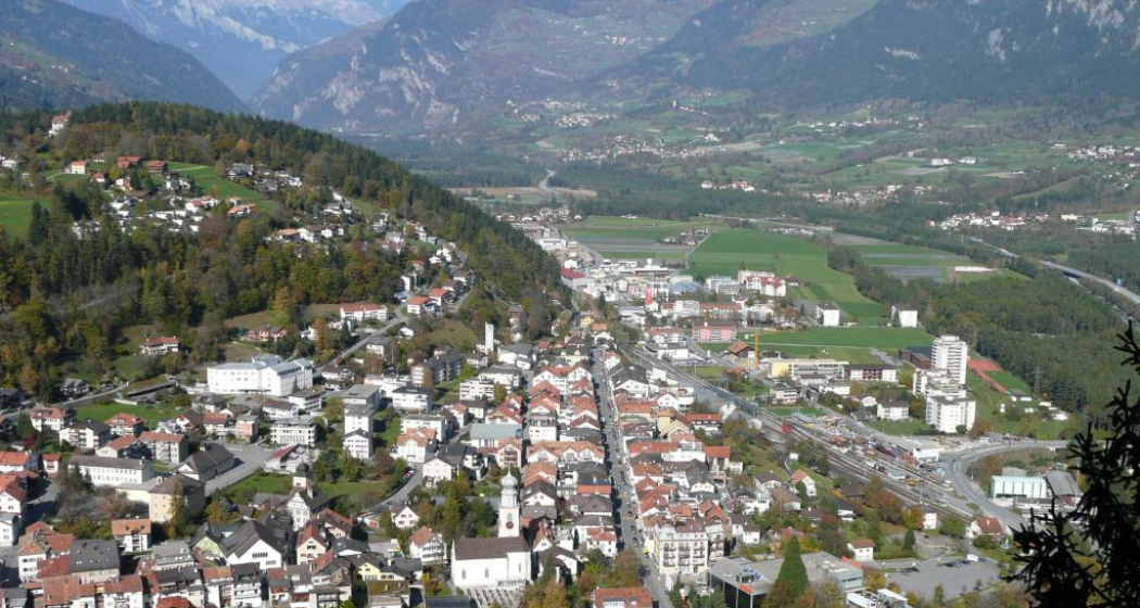
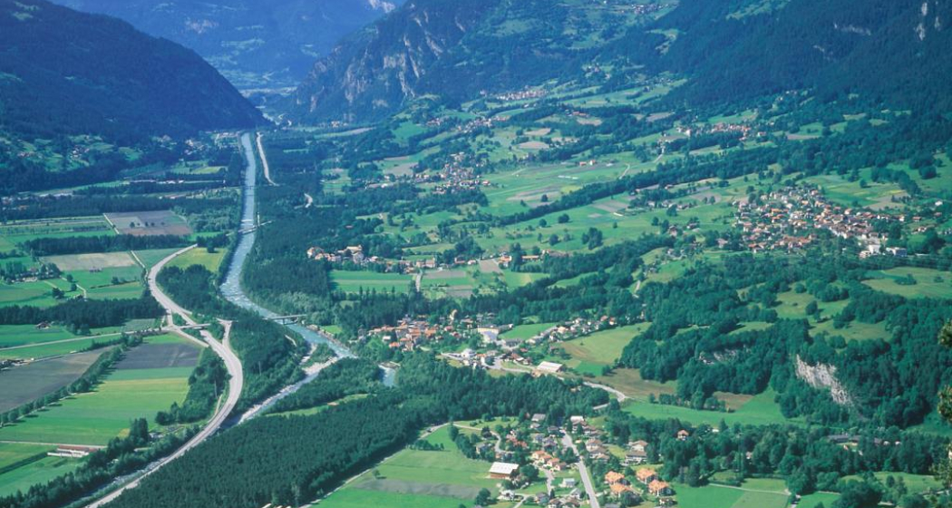
From Thusis, drive across the valley of the Domleschg to Rothenbrunnen train station. On the forest path you meander through the Realta forest to the Tuf junction. Along the slope you continue on the high trail via Santagnöns and the Cruttiser Tobel to Valleina. From Valleina it goes via Lochmühli back to the starting point Thusis. The tour can be found with the local route designation No. 621.
Any hiking trail closures/restrictions or diversions can be found here.
Hidden Gem
After the round trip visit one of the many restaurants in Thusis.
On hot days, a stop at the Badi Thusis is also worthwhile to cool off.
Directions
Thusis - Rothenbrunnen station - new forest road - Abzw. Tuf - Santagnöns - Cruttiser Tobel - Valleina - ThusisThe
Heinzenberg Forest Route is marked as Regional Route No. 621.
Directions
Public Transport
The villages Thusis, Rothenbrunnen and Valleina can be reached by PostBus. Further information and timetable information can be found at www.sbb.ch.
Responsible for this content: Viamala Tourism.
This content has been translated automatically.

This website uses technology and content from the Outdooractive platform.


