Hike around Lake Davos
Simple
4 km
1:00 h
15 mhd
15 mhd


Show all 8 images

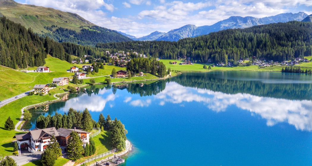
This comfortable circular trail leads around Lake Davos and offers a permanent wonderful view over the water, the valley and the prominent mountains of Davos. A worthwhile detour for every nature lover.
Best Season
Jan
Feb
Mär
Apr
Mai
Jun
Jul
Aug
Sep
Okt
Nov
Dez
Start
Car park Davosersee, Davos Dorf
Destination
Car park Davosersee, Davos Dorf
Coordinates
46.814292, 9.846516
Details
Description
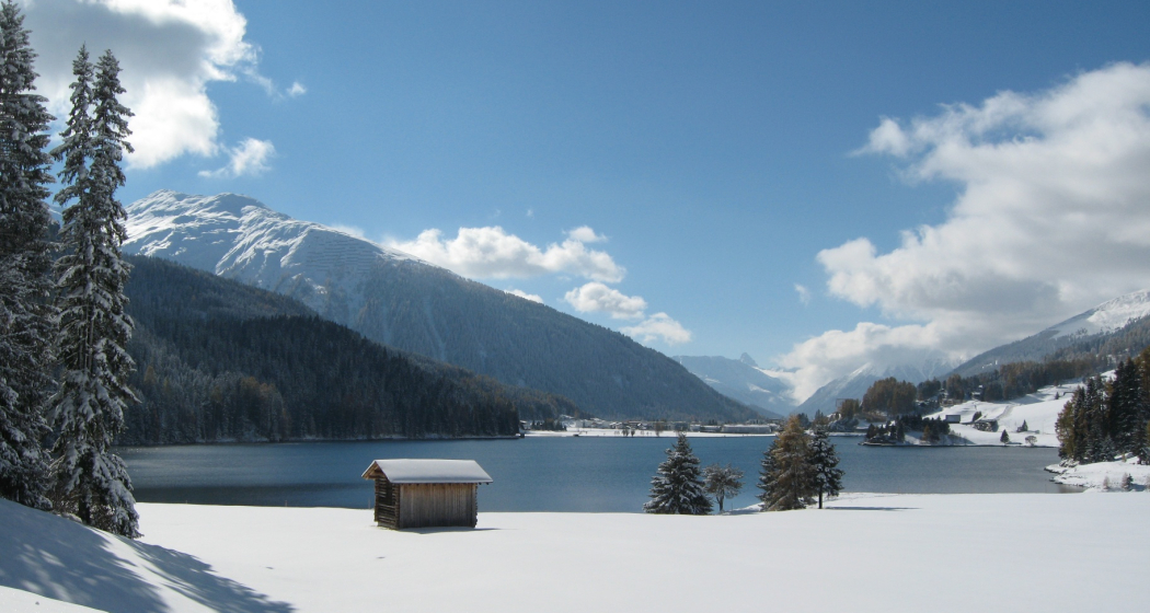
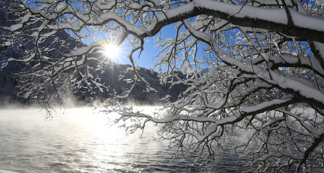
The path runs close to the shore. Over prepared snow surface the route leads around the lake, partly along the edge of shady woods, then again through open terrain. The forest is inhabited by squirrels, which have become so accustomed to the tourists that they approach confidently up to half a meter. On the north side, the view over the lake into the valley is especially impressive. The mountains of Davos in the background round off the picturesque picture perfectly. White snowfields line the shore, from time to time a small wooden jetty juts out into the water. On the way there are numerous secluded park benches from which you can enjoy the view. Thanks to the idyllic scenery, Lake Davos is a suitable place to relax and recharge your batteries.
Geheimtipp
The Restaurant Seebüel is a good place to stop along the route.
Directions
Public Transport
By train to Landquart, then by Rhaetian Railway (RhB) to Davos Dorf.
By bus (line 1) to Davos, Flüelastrasse or Davos, Meierhöf.
Anreise Information
By car to Davos
- Route 28 Landquart - Davos
- Landwasserstrasse Thusis - Davos
Parking
Use public parking spaces at Lake Davos.
Responsible for this content: Destination Davos Klosters.
This content has been translated automatically.

This website uses technology and content from the Outdooractive platform.