L1 Cross-Country Ski Run Samnaun
Simple
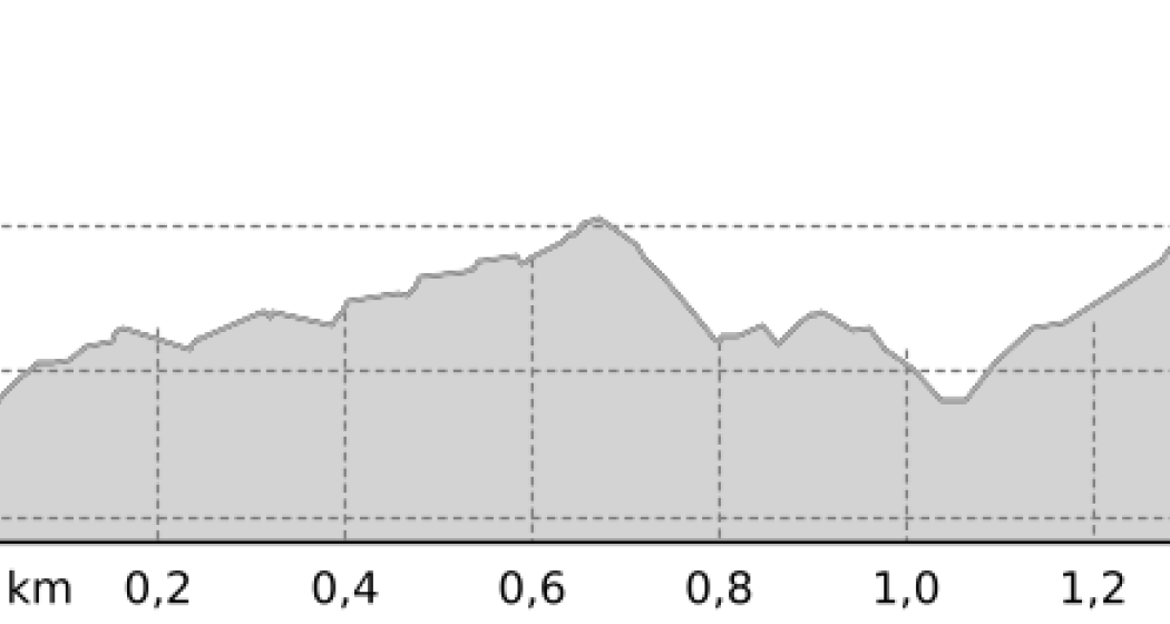
1.5 km
0:25 h
21 mhd
2 mhd


Show all 3 images

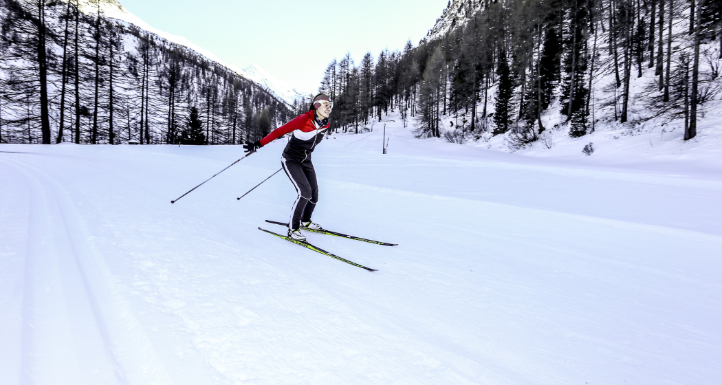
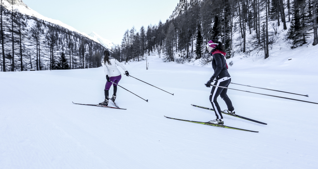
Cross-country ski run near Samnaun Dorf with a beautiful view of the Samanun valley and over the meadows of Motnaida and Clis da Ravaisch.
Best Season
Jan
Feb
Mär
Apr
Mai
Jun
Jul
Aug
Sep
Okt
Nov
Dez
Start
Samnaun Dorf, Post
Destination
Samnaun Dorf, Post
Coordinates
46.942185, 10.359901
Details
Description
The ski run is prepared for classic and skating and initially leads slightly uphill toward Val Maisas with a view of Muttler. It then crosses the Maisas stream and continues slightly downhill through the forest to the pastures of Motnaida and towards Clis da Ravaisch and back again. The entrances to the trail are on Pra Grond at Chasa Nova and at the Bristol house (start/finish of the sledge run).
Safety Note
The trail is groomed regularly when conditions are good.
Please note the messages in the condition report. The tour was assessed in favourable weather conditions, current snow and weather conditions must be noted before starting.
Emergency call:
144 Emergency, First Aid
1414 Mountain rescue REGA
112 International emergency call
Equipment
Cross-country skiing equipment, sun protection, drinks
Directions
Samnaun Dorf, Motnaida, Clis da Ravaisch
Directions
Public Transport
By Rhaetian Railway (from Chur, Landquart/Prättigau or from the Upper Engadine) hourly to Scuol-Tarasp station.
Continue by PostBus to the PostBus stop Samnaun Dorf at the post office. Above the Riva approx. 10 min walk to the starting point Motnaida.
Travel Information
- From the north: via Landquart - Klosters by car transport through the Vereina tunnel (Selfranga - Sagliains) or via the Flüela Pass into the Lower Engadine on H27, turn off at Vinadi towards Samnaun. Drive to Samnaun village and park in the Votlas car park
- From the east: via Landeck / Austria on the Reschenpass road B180 to Kajetansbrücke, then on the Spisser road L348 towards Spiss - Samnaun village
- From the south: via Reschenpass on the B180 to Kajetansbrücke, then on the Spisser-Strasse L348 in the direction of Spiss - Samnaun Dorf.
Parking
- free parking in Samnaun Dorf Votlas
Responsible for this content: Tourism Engadin Scuol Samnaun Val Müstair AG.

This website uses technology and content from the Outdooractive platform.