Lake trail St. Moritz - Sils - Maloja (SwitzerlandMobility route 313)


Show all 5 images

Details
Description
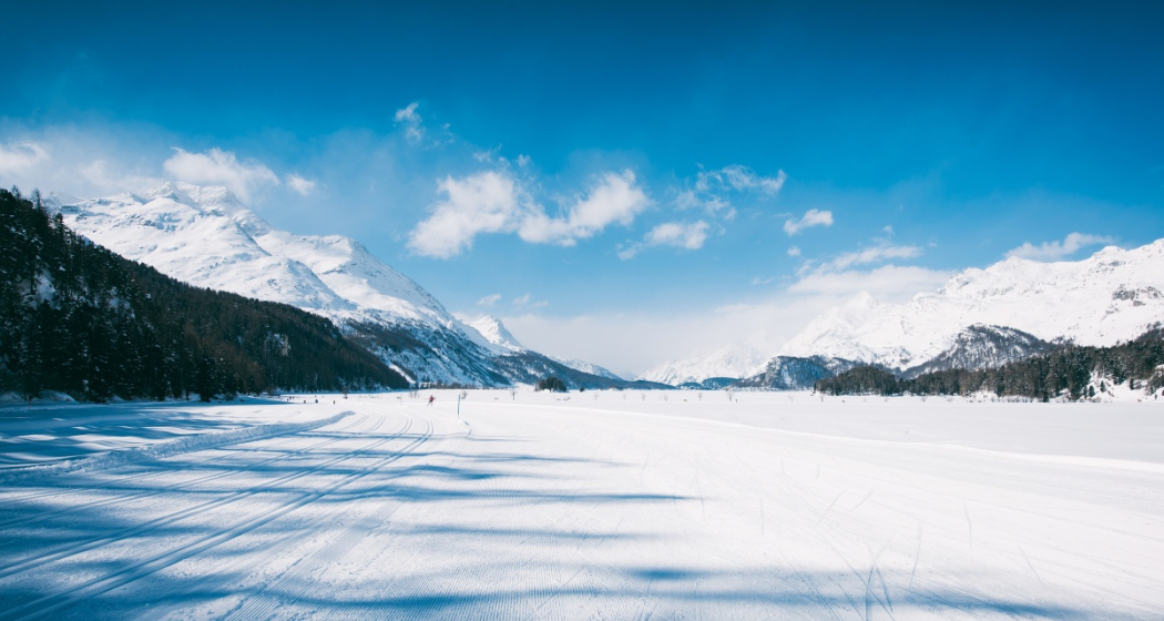
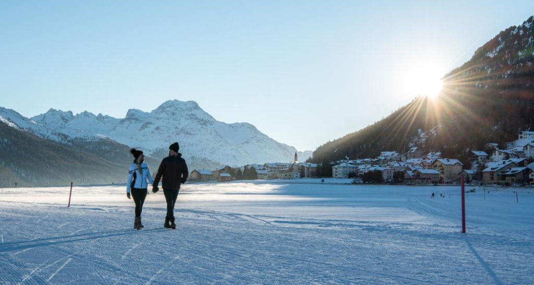
The hike continues across the lake. The views across to the Piz da la Margna and, in the background, the mountains of Val Bregaglia are particularly stunning. From the Surlej bridge the view opens up to the vast expanse of the lake plateau, which is best enjoyed while striding across the lake of Silvaplana. A detour via the village of Sils is certainly worthwhile, if only to admire its old Engadin houses.
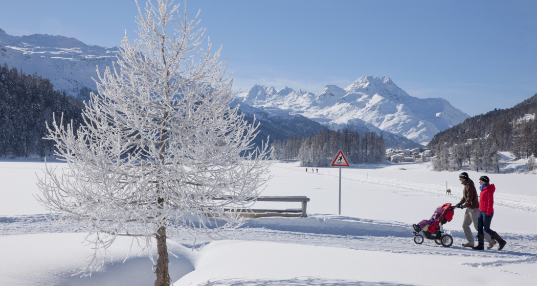
Time, now, to embark on the final stage across Lake Sils. At the Chastè peninsula we step out onto the frozen lake as the hiking trail leads out into the sunshine, past Isola to Maloja. There is a beautiful spot for a relaxing break here – with sweeping views of Lake Sils – before you tackle the last few kilometers taking you past Maloja, followed by the home stretch.
More information
Engadin Tourismus AG
Via Maistra 1
CH-7500 St. Moritz
Phone: +41 81 830 00 01
E-mail: allegra@engadin.ch
Internet: www.engadin.ch
winter hiking trail report: www.engadin.ch/en/slopes-tracks/winter-hiking-trails/
Geheimtipp
Sicherheitshinweis
Directions
Directions
Public Transport
For the way back, take the Engadin bus from the bus stop Maloja Capolago.
Responsible for this content: Engadin Tourismus AG.

This website uses technology and content from the Outdooractive platform.


