Maloja - Lägh da Cavloc - Plan Canin
Medium
6.4 km
2:30 h
242 mhd
150 mhd


Show all 5 images

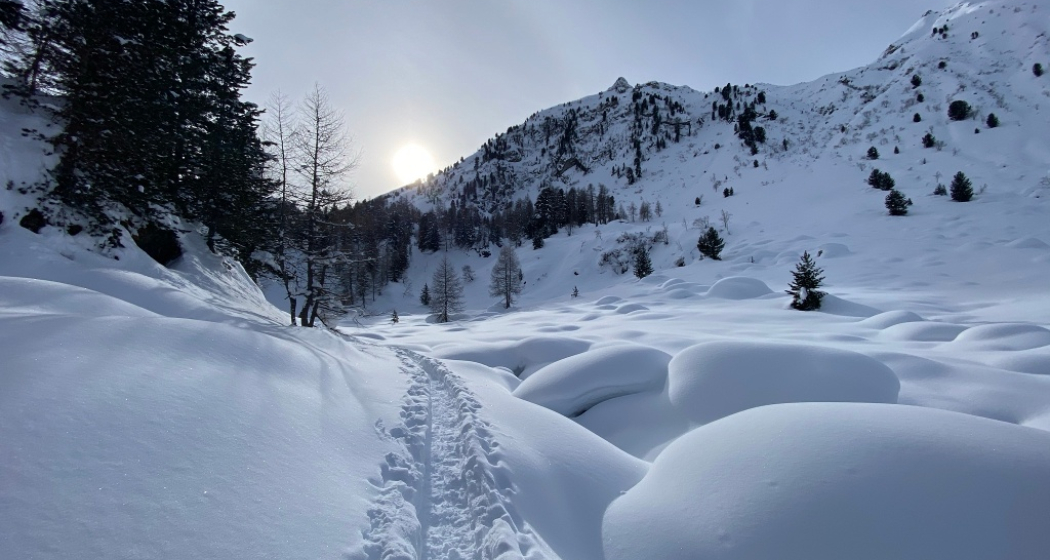
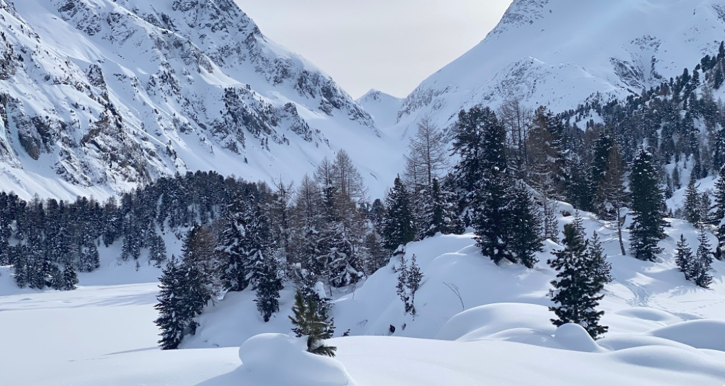
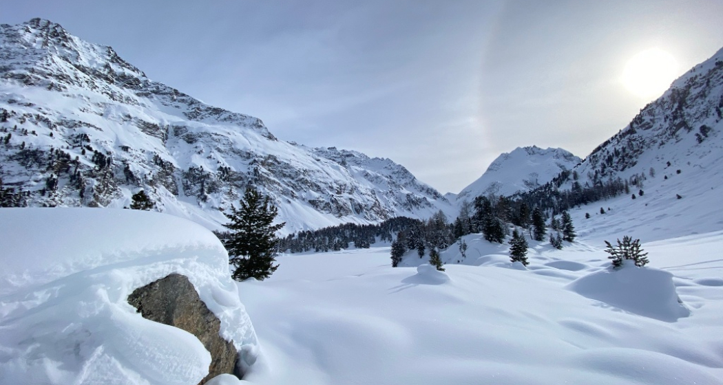
Signposted snowshoe tour leading to the idyllic Cavloc Lake and on to Plan Canin.
Best Season
Jan
Feb
Mär
Apr
Mai
Jun
Jul
Aug
Sep
Okt
Nov
Dez
Start
Maloja car park Orden
Destination
Plan Canin
Coordinates
46.393993, 9.69309
Details
Description
From the car park Orden, the trail first follows the path until it crosses the bridge near Salecina. Then through a beautiful mountain forest up to Lägh da Cavloc. If you like, you can find your own way on the plain, past Alp da Cavloc to Plan Canin.
More Information
Engadin Tourismus AG
Via Maistra 1
CH-7500 St. Moritz
Phone: +41 81 830 00 01
E-mail: allegra@engadin.ch
Internet: www.engadin.ch
winter hiking trail report: www.engadin.ch/en/slopes-tracks/winter-hiking-trails/
Hidden Gem
The way back is either the same way or via the winter hiking trail as a round trip.
Directions
Maloja, car park Orden - Salecina - Lägh da Cavloc - Alp da Cavloc - Plan Canin - Lägh da Cavloc - Maloja, car park Orden
Responsible for this content: Engadin Tourismus AG.

This website uses technology and content from the Outdooractive platform.