Panorama trail
Show all 4 images
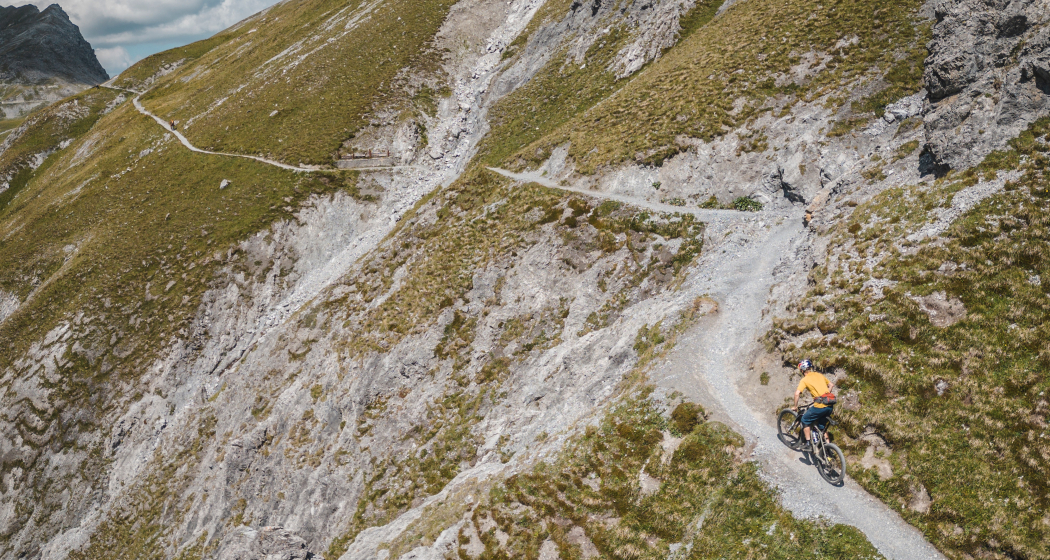
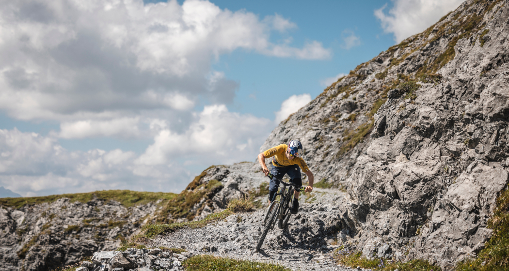
The panorama trail is a classic single trail with difficulty level S2 (single trail scale).
Details
Description
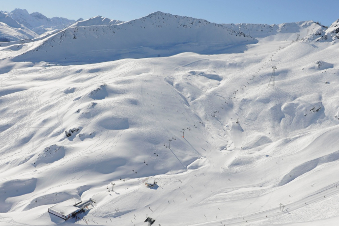
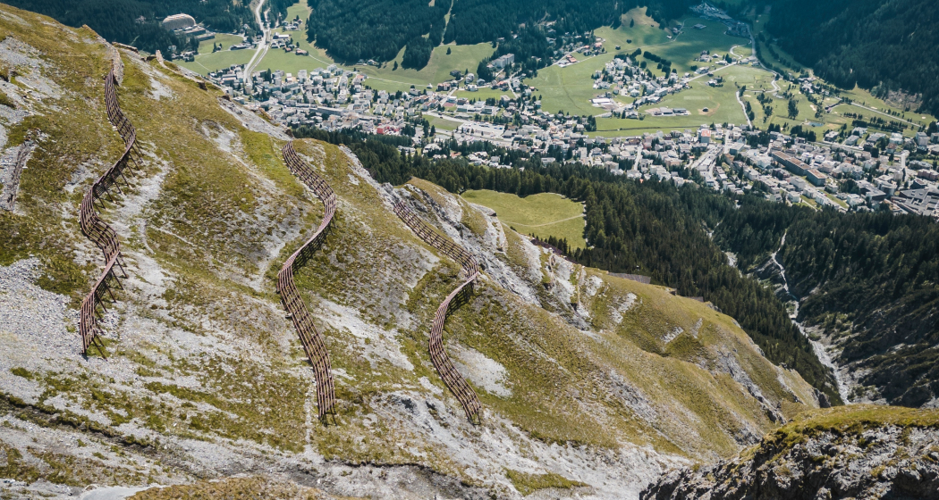
Wonderful panoramic tour for bikers with a head for heights. Most of the route is on rather wide trails that are rarely challenging for a route marked S2. If you are looking for beautiful views or want to ride from the Weissfluhjoch to Klosters, this is the right place for you.
Signposted throughout as route 332.
Many hikers can be expected between 10.00 am and 4.00 pm. Therefore, please use the trail at off-peak times.
Access information
Easily accessible with the Parsennbahn or Gotschnabahn.
Hidden Gem
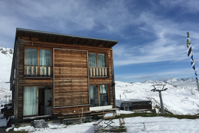
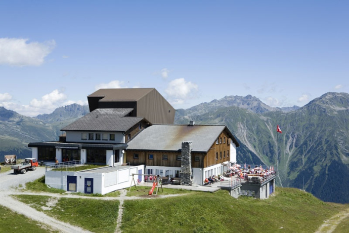
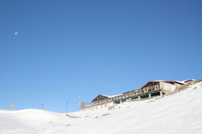
Be sure to enjoy a local delicacy in the Parsenn hut
Directions
Strelapass - Schiawang - Parsennhütte - Gotschnagrat
Directions
Public Transport
Take the train to Landquart, then the Rhaetian Railway (RhB) to Davos Platz.
Travel Information
By car to Davos
- Route 28 Landquart - Davos
- Landwasserstrasse Thusis - Davos
Parking
Public parking lots/parking garages in Davos
Responsible for this content: Destination Davos Klosters.

This website uses technology and content from the Outdooractive platform.
