Pian Scundù - itinerario per ciaspole
Show all 4 images

Details
Description
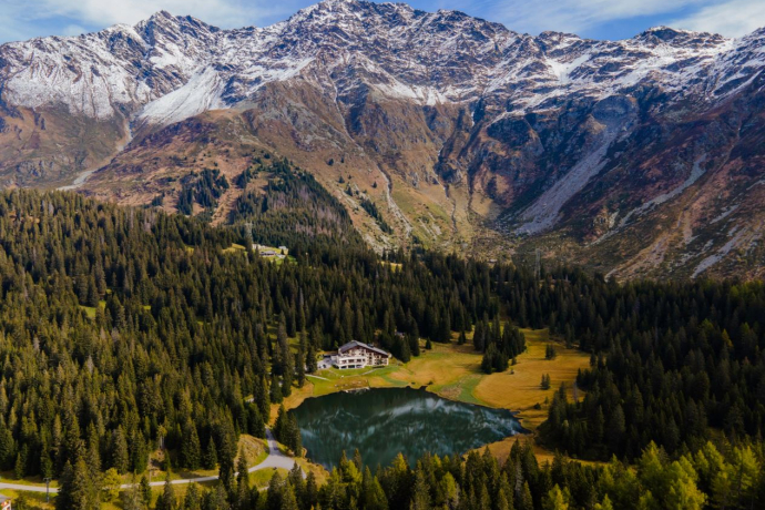
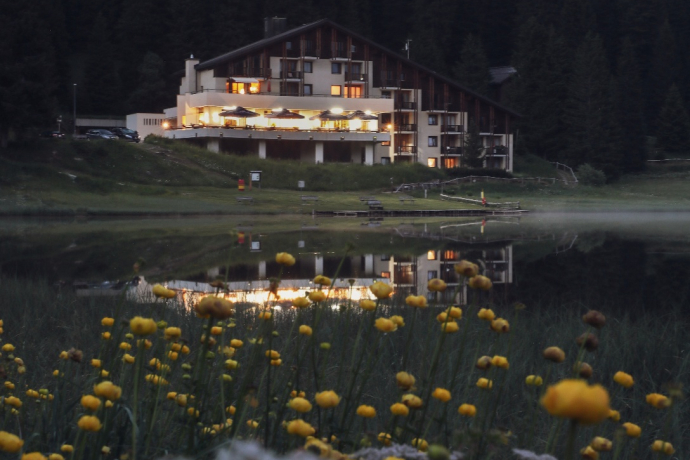
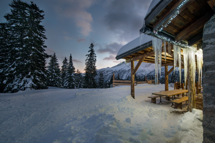
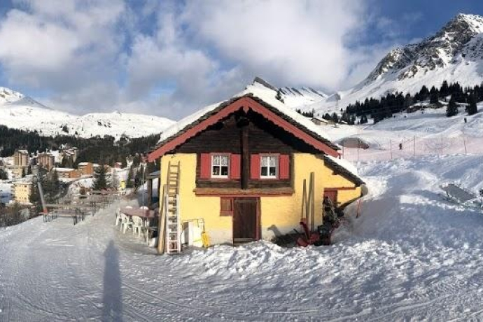
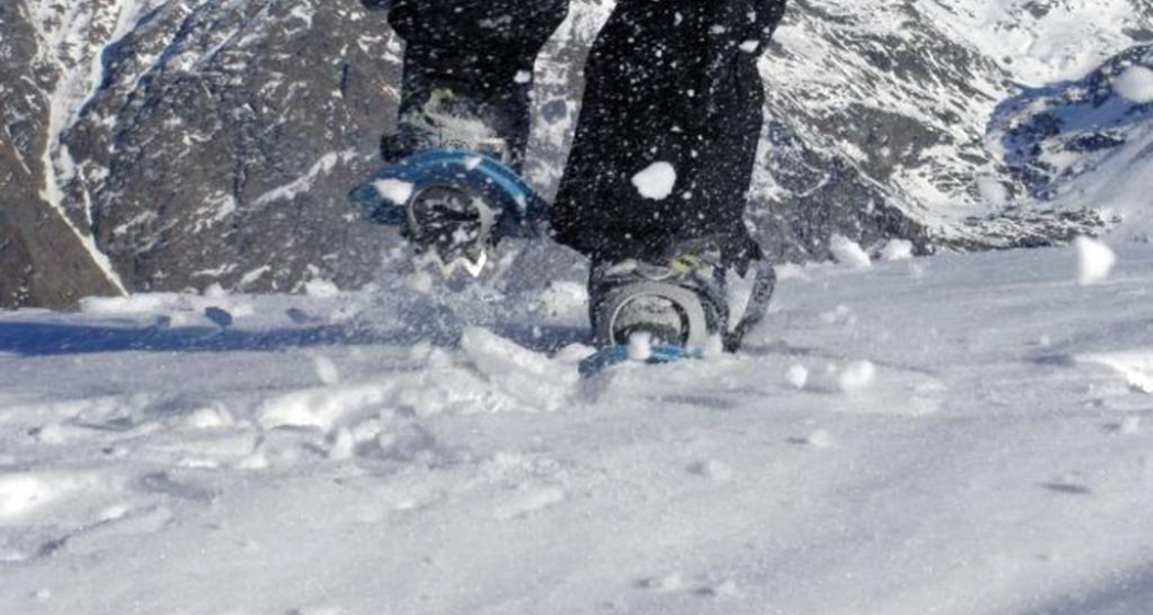
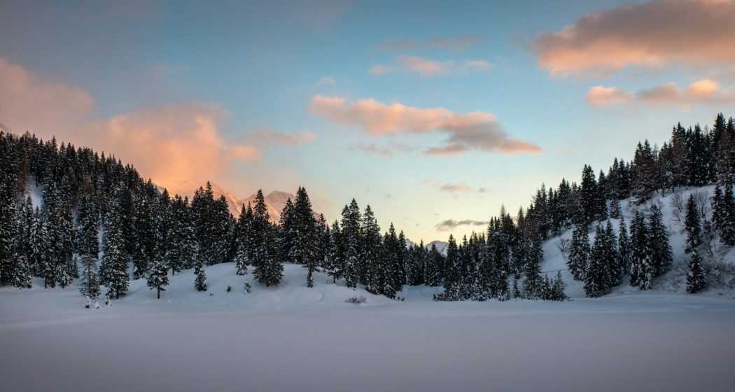
The route starts from the Pian Doss lake. i continues southwards, climbing slightly into the grove on the edge of the Motta de Fregeira. Once you reach the small pass, you descend briefly to reach the prepared winter slope. In a short time you reach the first farmhouses of Fregeira. We then climb to reach Alpe Pian Doss which is the highest point of the excursion (1780m). From the Pian Doss alp you descend along the Motta d'Anzala until the forest becomes sparser and from there you take the prepared winter path again to return to the starting point, the Pian Doss lake.
This route can be extended with the Pian Cales route.
Directions
Public Transport
Travel Information
Parking
Responsible for this content: Ente Turistico Regionale del Moesano (ETRM).
This content has been translated automatically.

This website uses technology and content from the Outdooractive platform.
